John Nelson
Connect:

I have far too much fun looking for ways to understand and present data visually, hopefully driving product strategy and engaging users. I work in the ArcGIS Living Atlas team at Esri, pushing and pulling data in all sorts of absurd ways and then sharing the process. I also design user experiences for maps and apps. When I'm not doing those things, I'm chasing around toddlers and wrangling chickens, and generally getting into other ad-hoc adventures. Life is good. You might also like these Styles for ArcGIS Pro: esriurl.com/nelsonstyles
Posts by this author
Firefly Basemap Imagery Launched!

The smoldering dark desaturated imagery basemap you've grown to love. It's ready for you. And you for it.

Continue Reading

Active Fires Visualization

A work in progress application visualizing Active Fires in the United States using the ArcGIS JavaScript API

Continue Reading

Rocking Gradients in Pro Layouts

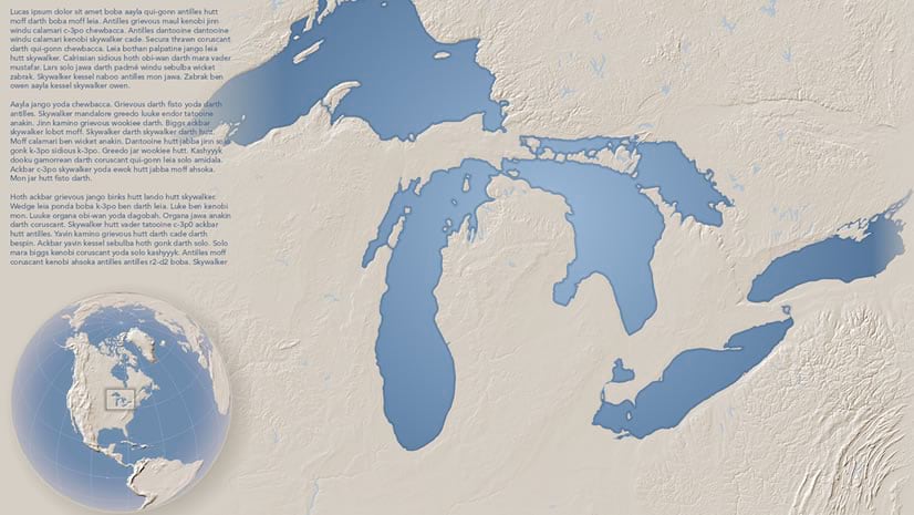
Leverage that fade for all sorts of cartographic smoothness.

Continue Reading

Steal this Hachure Style for Pro, Please

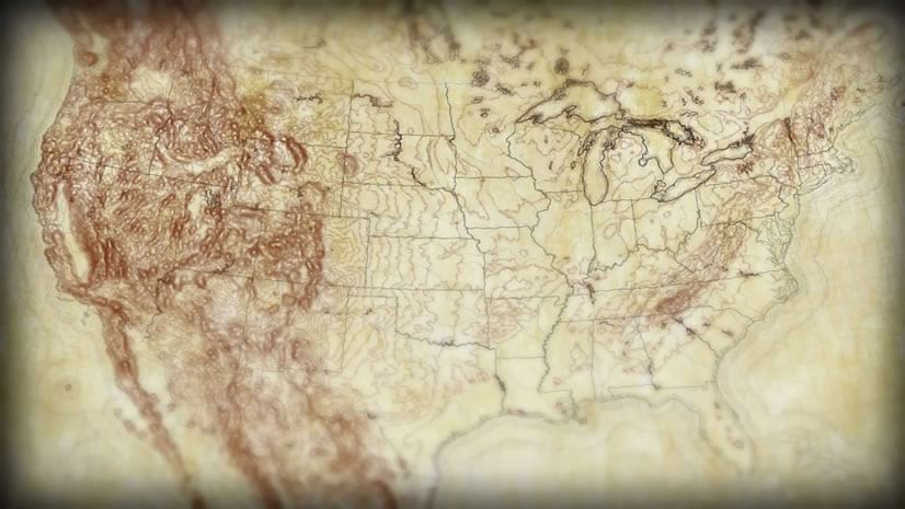
Get in touch with your cARRRRRRRRtographic roots with this vintage mountain mapping style for ArcGIS Pro.

Continue Reading

Hex Pop

Download this hexagonal mesh of the continental United States with population data. So you can aggregate and normalize! Whoosh!

Continue Reading

Plastic Brick Oceans

How to assemble this Lego-like map of ocean bathymetry.

Continue Reading

Steal this Watercolor Style for Pro, Please

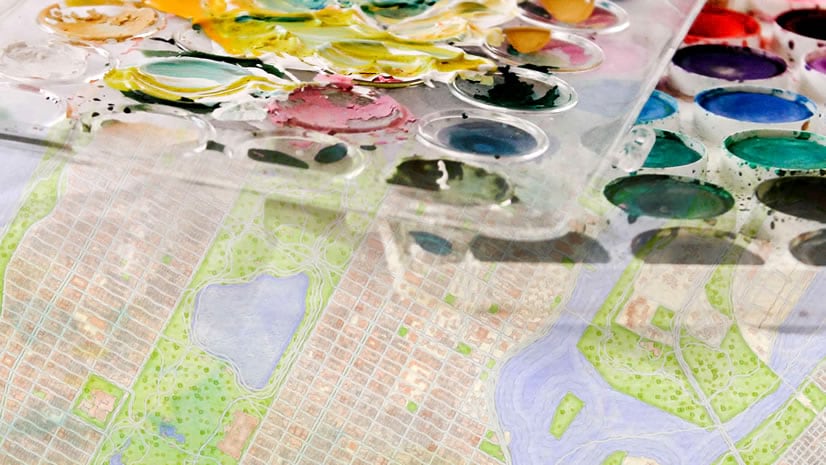
This Pro style will en-watercolor-ify your maps, making them simply irresistible.

Continue Reading

Throwing Shade: Geo-Aware Vignette Layer

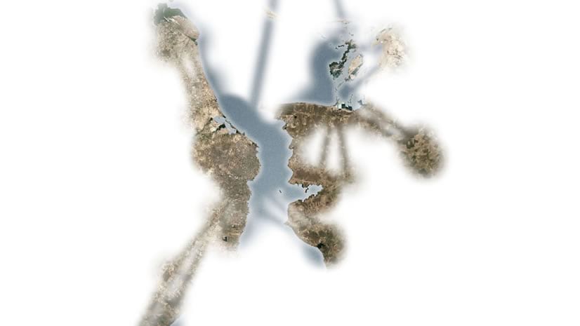
Download this vignette layer to wrap sweet light or dark vignettes around your maps, in any projection.

Continue Reading

Migration, Visualization, and Just-Enough-ification

This is the migration of an Osprey hatched from a nesting post built by a Boy Scout near Detroit. How, and why, to make the maps.

Continue Reading

1 28 29 30 31 32 37