Kristian Ekenes
Connect:

Kristian is a Principal Product Engineer at Esri specializing in data visualization. He works on the ArcGIS Maps SDK for JavaScript, ArcGIS Arcade, and Map Viewer in ArcGIS Online. His goal is to help developers be successful, efficient, and confident in building web applications with the JavaScript Maps SDK, especially when it comes to visualizing data. Prior to joining Esri, he worked as a GIS Specialist for an environmental consulting company. He enjoys cartography, GIS analysis, and building GIS applications for genealogy.

Posts by this author
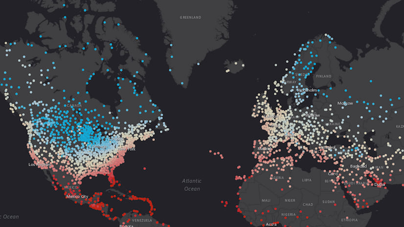
Thematic point clustering for data exploration

Extracting meaningful information from large or dense point datasets can be challenging. Sometimes many points aren't visible because the...

Continue Reading

FeatureLayer rendering: taking advantage of WebGL in 2D

The 4.5 version of the ArcGIS API for JavaScript allows users to opt in to rendering FeatureLayer with WebGL (beta) in 2D MapViews. This ...

Continue Reading

ArcGIS API for JavaScript versions 4.5 and 3.22 released

Version 4.5 of the ArcGIS API for JavaScript adds some key capabilities and several smaller (but sweet) enhancements that will come in ha...

Continue Reading

Exploring 3D object data in a custom web app

In a session titled 3D Visualization with the ArcGIS API for JavaScript at the 2017 Esri User Conference (UC), Javier Gutierrez and I dem...

Continue Reading

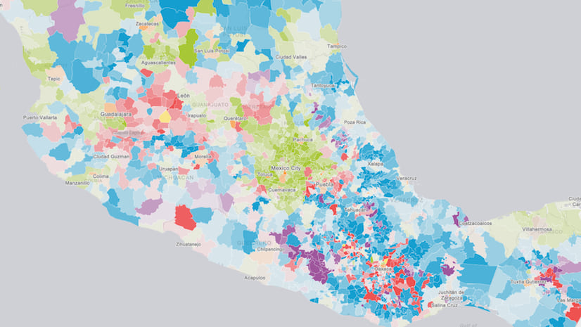
Creating a predominance visualization with Arcade

At the March 2017 Esri Developer Summit, Dave Bayer and I gave a presentation on how to use Arcade expressions in web apps built on the A...

Continue Reading

Visualizing data in web apps: leveraging the platform

The ArcGIS API for JavaScript contains powerful visualization capabilities that bring your data to life on the web. Some of these include...

Continue Reading

Take advantage of the JavaScript symbol playground

The 4.3 release of the ArcGIS API for JavaScript introduced an app called the Symbol Playground. Its purpose is to provide an environment...

Continue Reading

Enliven your web apps with custom actions

The 4.x series of the ArcGIS API for JavaScript introduced the concept of actions. An action is a task that can be triggered by a user by...

Continue Reading

Using Arcade expressions in web apps

At the end of 2016 Esri released Arcade, a light-weight scripting language designed to evaluate expressions in labeling and rendering con...

Continue Reading

1 5 6 7 8 9