Keith is a Product Engineer at Esri. He serves as the Ocean Curator for the Living Atlas of the World team. Keith works to create foundational layers that can help marine researchers, scientists, and others gain a better understanding of our oceans.
Keith is a Product Engineer at Esri. He serves as the Ocean Curator for the Living Atlas of the World team. Keith works to create foundational layers that can help marine researchers, scientists, and others gain a better understanding of our oceans.
The U.S. Vessel Traffic app, available in Living Atlas, lets you visualize, explore, and download vessel data in and around U.S. waters.
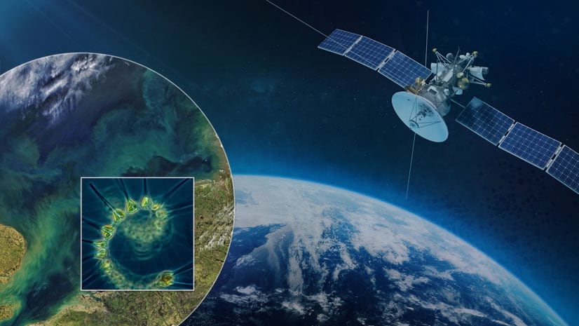
A new methodology, developed by Esri and partners, is helping to improve our coastal waters
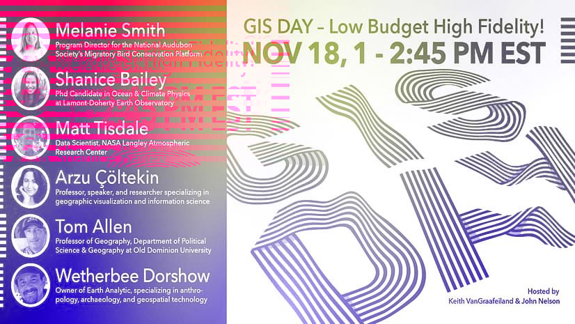
Hello map friend! Say, if you are looking around for a GIS Day thing to jump in on, you are most definitely invited!
Since the 1950s, it is estimated that 8.3 billion tons of plastics have been produced. Today only 9% of that plastic is recycled....
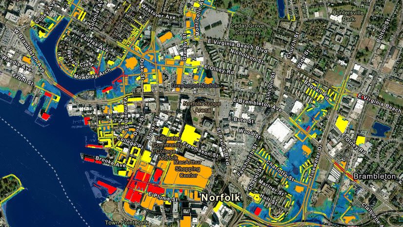
Coastal Flooding: How coastal communities are being impacted by sea level rise and the data that can help
Use python to transform your data set into netCDF files. Use the ArcGIS platform to perform multidimensional analysis or create visualizations.
Configuring time settings in ArcGIS Online through the admin console
Don't Let Your Content Go Stale!
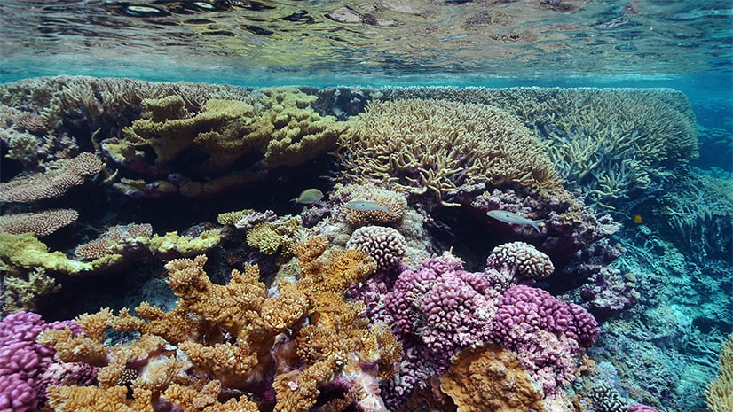
New data and apps from the Living Atlas and NOAA provide updated information on coral bleaching conditions around the world.