Keith is a Product Engineer at Esri. He serves as the Ocean Curator for the Living Atlas of the World team. Keith works to create foundational layers that can help marine researchers, scientists, and others gain a better understanding of our oceans.
Keith is a Product Engineer at Esri. He serves as the Ocean Curator for the Living Atlas of the World team. Keith works to create foundational layers that can help marine researchers, scientists, and others gain a better understanding of our oceans.
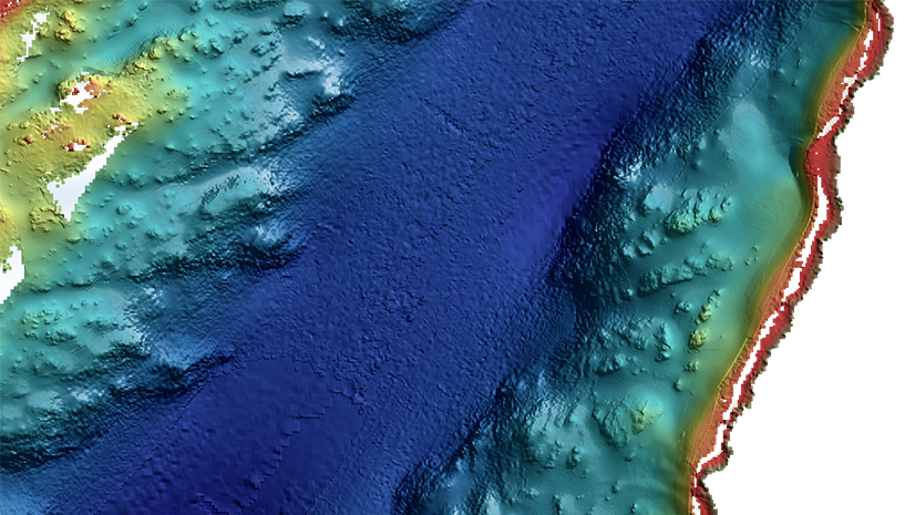
This blog covers a workflow to generate polygon footprints for bathymetry data from which surface area can be calculated.
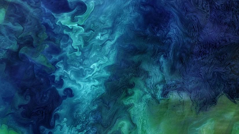
Subtle changes in chlorophyll-a signify various types and quantities of marine phytoplankton (microscopic marine plants).
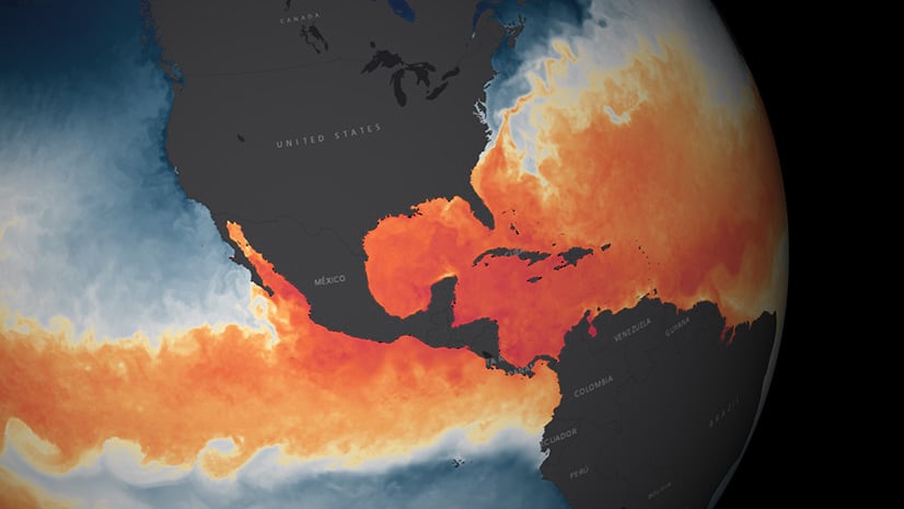
Using the Sea Surface Temperature services in the Living Atlas to analyze changes over space and time
June 21st, 2016 marks the 11th year anniversary of World Hydrography Day! World Hydrography Day (WHD) focuses on giving suitable publi...
New enhancements to Ocean Content in the Living Atlas of the WorldThe Living Atlas team is excited about the most recent ocean content re...
Description As part of ArcGIS Online, Esri’s Ocean Content supports a vast GIS community. Thank You to our Contributors and Partners wh...