Principal Product manager on the Imagery team at Esri, with a zeal for remote sensing, AI and everything imagery.
Principal Product manager on the Imagery team at Esri, with a zeal for remote sensing, AI and everything imagery.
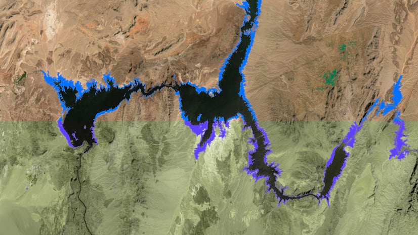
Take a look at how the new categorical change detection tool in ArcGIS Pro 2.6 can be used to detect water loss in the desert.
Here are some of the highlights of the new capabilities you’ll see in the ArcGIS Image Analyst extension for ArcGIS Pro 2.6
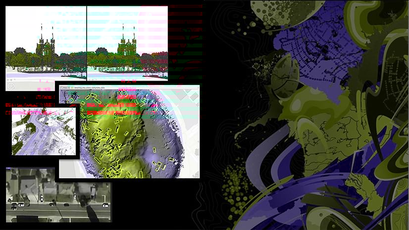
See how we detected Shipwrecks using deep learning on bathymetric data. This demo was shown at the UC 2020 plenary.
Learn about deep learning at the 2020 Esri User Conference (UC).
At the Developer Summit plenary, Vinay showcased using notebooks, raster analytics, and the Python API to monitor coral bleaching globally.
ArcGIS Pro 2.5 comes with even more capabilities for working with multidimensional rasters for time series and dimensional analysis.
Here are some of the highlights of the new capabilities you’ll see in the Image Analyst extension in ArcGIS Pro 2.5
See how we used an out-of-the-box configurable app template to build a crowdsourcing labeling app for deep learning.
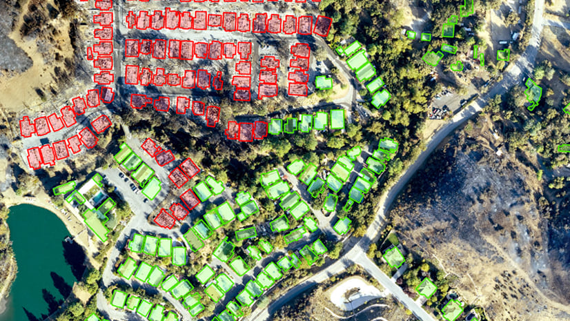
Here's a look at how the damage assessment deep learning demo was done by USAA at the UC2019 plenary.