Warren Davison
Connect:

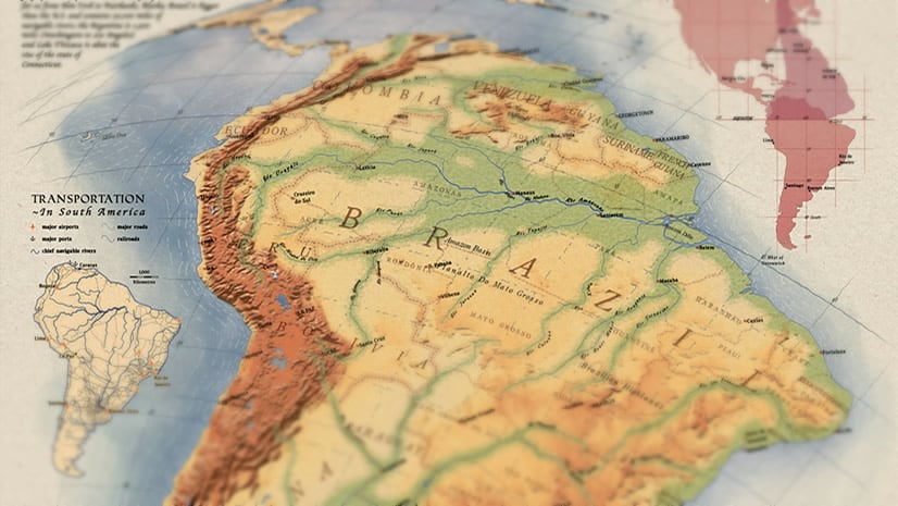
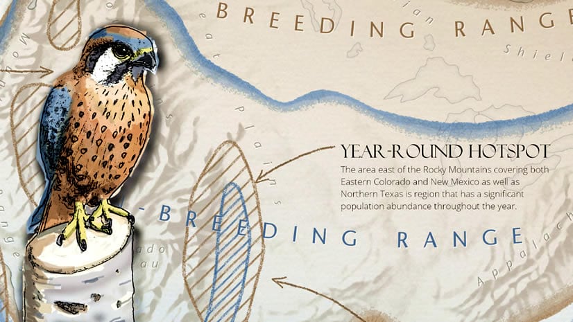
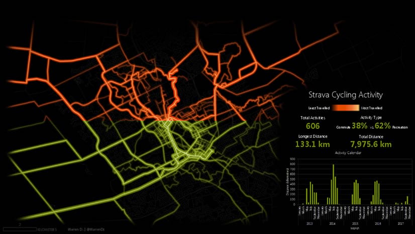
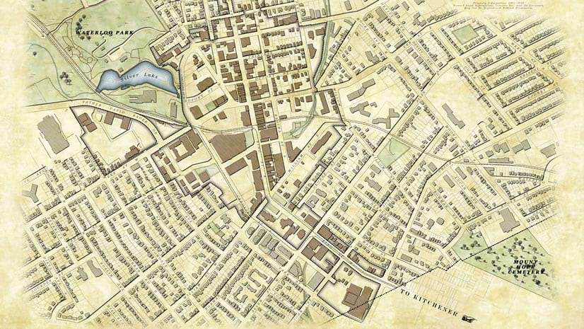
I have all sorts of fun creating engaging maps and graphics and then sharing the process. I work from Kitchener, Canada on Esri’s StoryMaps team where those visuals sometimes make their way into immersive place-based stories. When not digging into vectors and pixels, I can generally be found riding around town on two wheels with toddlers in tow.

Posts by this author
Make this Workbook: Emergency Response Analysis

Make this ArcGIS Insights workbook to visualize and share your analysis of emergency response dispatch data.

Continue Reading

Emergency Response Analysis with ArcGIS Insights

Learn how ArcGIS Insights can be used to analyze emergency response times and provide metrics for data-driven decision making.

Continue Reading

Make this Watershed Workbook: Blueprint for Style

Make this watershed workbook and experiment with the style of your workbook to create a cohesive and visually compelling page.

Continue Reading

Make this Watershed Workbook: Chart Vision

Make this watershed workbook and sample some of the visualization offerings of ArcGIS Insights.

Continue Reading

Make this Watershed Workbook: Some Assembly Required

Step through the workflow for preparing data within the Insights scripting environment.

Continue Reading

Homage to a Classic Map

Warren Davison creates an homage to a beautiful Richard Edes Harrison map.

Continue Reading

How to Make this Migration Map…and Why

Warren Davison shares the personal inspiration behind a beautiful migration map, and the steps of its making.

Continue Reading

GPS Activity Map

How to style your GPS activity as a smoking hot molten map of awesomeness.

Continue Reading

Not-So-Historic Survey Plan

When I first saw this map of Waterloo, Ontario, by cartographer Warren Davison, I was so impressed with his application of texture and co...

Continue Reading

1 2