Smart Mapping
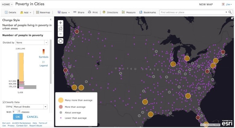
Smart mapping is an innovative approach for creating maps that has been available through ArcGIS Online since March 2015. With ArcGIS 10.3.1, this capability is now also available in the map viewer of Portal for ArcGIS (included with ArcGIS for Server). With smart mapping, you can quickly style the features of your map so that you create useful and visually stunning maps every time.
How does smart mapping work?
The mapmaking workflow has been updated based on the philosophy that making visually beautiful maps should be easy for everyone. Here is what you can expect:
- Workflows analyze your data and suggest the best way to represent it.
- Smart defaults take the guesswork out of setting up many of the map properties.
- Based on the basemap you select, we can automatically suggest and coordinate colors and other map styling
- We also suggest visible ranges so you’ll see your data at scales that make sense.
- You get to preview your styling choices on your screen.

Another Step toward 3D across the ArcGIS Platform
- 3D Web Scenes in ArcGIS for Server
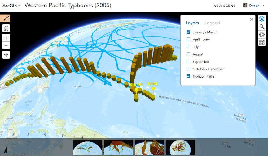
Earlier this year, we introduced 3D web scenes in ArcGIS Online along with a scene viewer that lets you view, create, and share 3D web scenes in your browser. With ArcGIS 10.3.1, this capability is now available to you in ArcGIS for Server and Portal for ArcGIS. This enables you to share these scenes within your own infrastructure and, if you choose to, you can share them publically for anyone to view in a browser.

- Hosting Complex 3D Models—New to the ArcGIS Platform
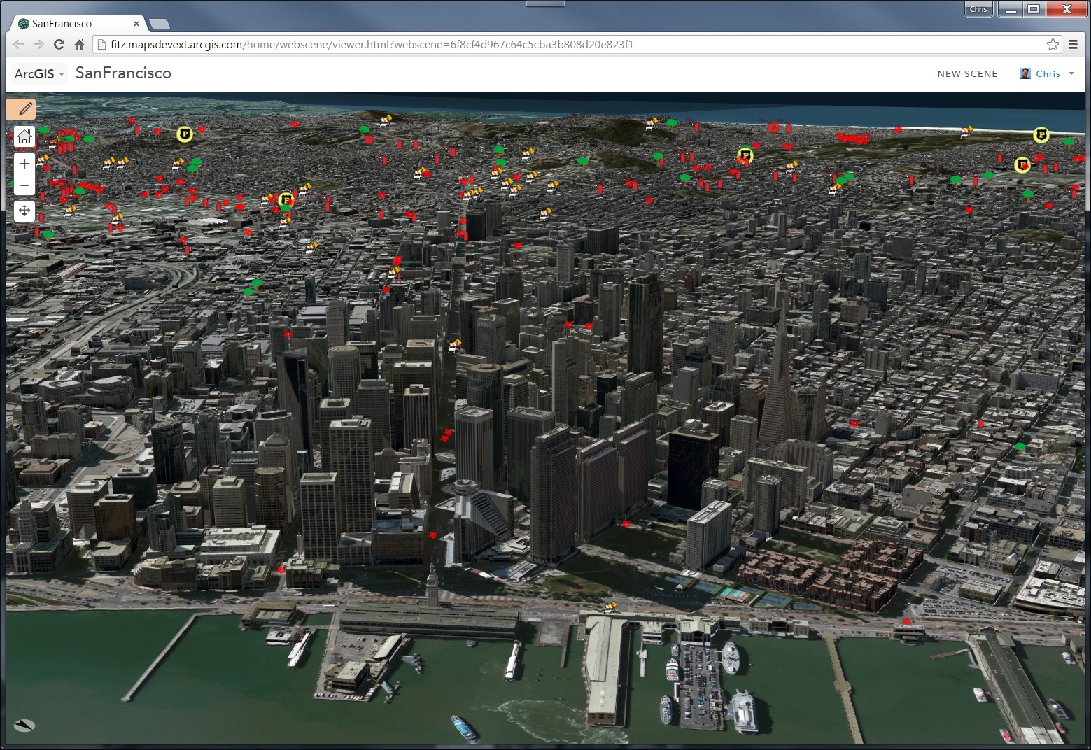
With the ArcGIS 10.3.1 release, ArcGIS for Server with Portal for ArcGIS can now host web scenes and layers that include multipatch-based 3D models and symbology, such as photo-realistic buildings, trees, and visibility domes.
These 3D web scenes can be consumed in ArcGIS Pro as well as in the scene viewer in either Portal for ArcGIS or ArcGIS Online.

Improved Quality and Performance
As with every release, ArcGIS 10.3.1 includes many performance and quality enhancements. A complete list of fixes can be found in this PDF.
For more details about what’s new in the ArcGIS 10.3.1 release, check out
Commenting is not enabled for this article.