Data and Maps is a collection of ready-to-use maps and data layers, including a variety of basemap and thematic layers for the United States, Europe, and the world.
There is commercial data from TomTom, Michael Bauer Research, DeLorme, and Esri; and federal data from the U.S. Census, The National Map Small Scale (formerly National Atlas of the United States), and the U.S. Geographic Names Information System (GNIS). Please consult the Redistribution Rights document to determine the redistribution rights for each dataset.
The official name is Data and Maps for ArcGIS (formerly Esri Data & Maps) but its group name on ArcGIS.com will remain Esri Data & Maps.
Updated Content

Included with this release are updated versions of the 2010 U.S. Census datasets with their attributes and projected current year population. Block Group, Tract, County, and State are all represented as polygons with over 40 attribute fields containing population totals by age and race, along with family and household information.
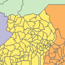
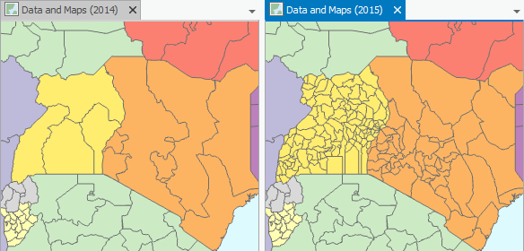
World Countries and World Administrative Areas datasets are modified to better reflect perceived country extents. Both of these are based on the DeLorme commercial basemap product containing detailed geometry and useful attributes. Other datasets that are updated with the latest from DeLorme include Airports, Elevation Contours, Linear Water, Water Bodies, Populated Places, Railroads, and Roads.
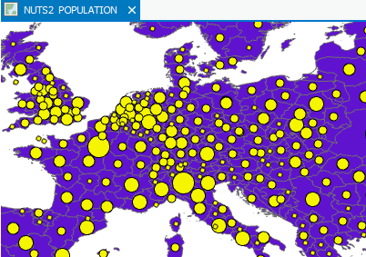
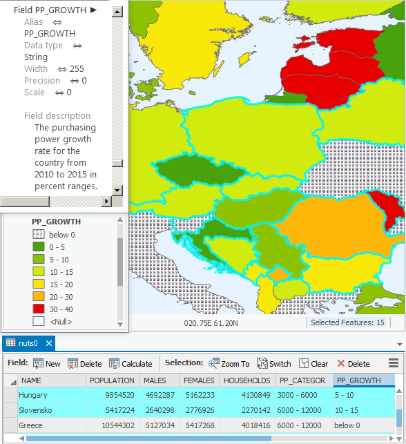
Many other datasets are updated to the most current versions available. This includes for the United States, all TomTom census, transportation, and landmark layers, and most federal data layers; and for Europe, the NUTS (Nomenclature des Unités Territoriales Statistiques) aggregated socioeconomic and demographic layers.
Every dataset…
- Is in Compressed File Geodatabase (FGDB) format.
- Has full ArcGIS Metadata.
Tip:
To view full metadata in ArcGIS Pro, add the Data and Maps dataset as a Database: In the Project pane, click the small gray arrow next to the Databases folder to expand it. Right-click Databases and choose Add Database. Once the database appears, click the small gray arrow next to it, right-click on its feature class, and choose View Metadata.
- Has an ArcGIS layer (.lyr) file that displays symbols and classifications for the dataset when viewed in ArcGIS.
The Esri Data & Maps group on ArcGIS.com provides immediate online access to layer packages that include over 100 ready-to-use datasets with ArcGIS layer (.lyr) files. Use the layers’ symbolization as they are, or add the data to a project and symbolize it differently.
Data and Maps for ArcGIS as part of the ArcGIS electronic software delivery (ESD) provides all the datasets, ArcGIS layer (.lyr) files, map documents (.mxd), and group layers (.lyr) for each geographic area with scale-dependent rendering and labeling of symbolized maps.
The complete 2015 Data and Maps collection requires 3.9 GB of disk space.
Delivery and Plans
To meet local and global needs and to support mapping directly in ArcGIS Online, Esri is changing how it delivers and expands the Data and Maps collection. With the 10.4 release, Esri is:
- Delivering Data and Maps layers as downloadable layer packages from the Esri Data & Maps group on ArcGIS.com;
- Delivering Data and Maps for ArcGIS as part of the ArcGIS electronic software delivery (ESD) through My Esri;
- Producing a collection of ready-to-use ArcGIS Online layers (feature services) from Data and Maps for ArcGIS;
- Updating the layers on ArcGIS Online more frequently;
- Working with Esri’s Distributors and Partners to expand the Data and Maps collection;
- Removing outdated datasets from the collection;
- Discontinuing delivery of Data and Maps on DVDs. If you require Data and Maps for ArcGIS delivered on DVD, please e-mail Customer Service.
Updates, Updates, Updates…
U.S. 114th Congressional Districts
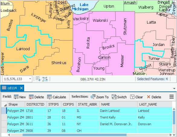
U.S. National Atlas Cities
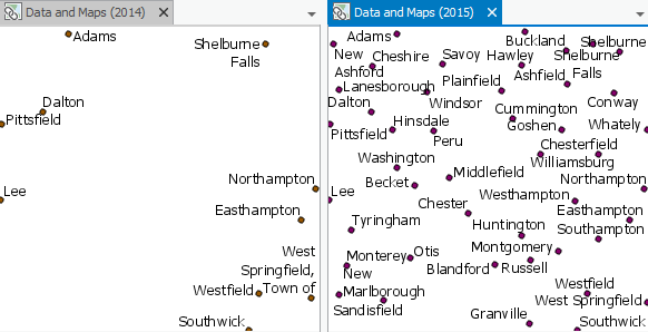
U.S. National Atlas Urbanized Areas
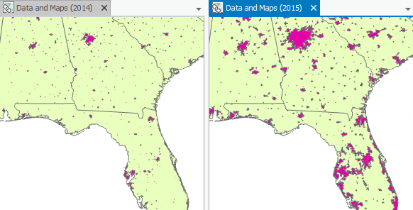
U.S. National Atlas Federal Land Lines
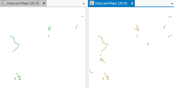
U.S. National Atlas Federal Land Areas
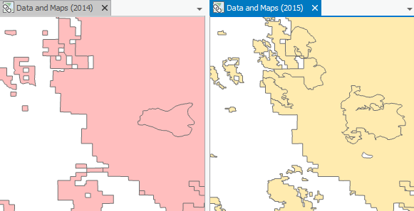
U.S. Institutions
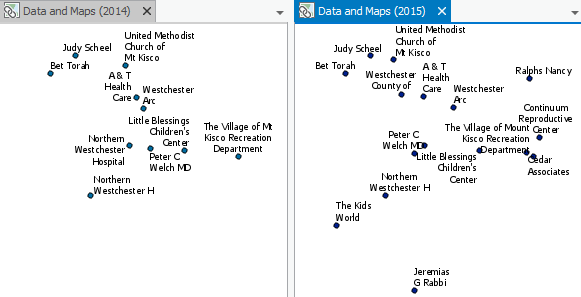
Europe NUTS 0 Demographics
World Administrative Divisions
Enjoy!
Article Discussion: