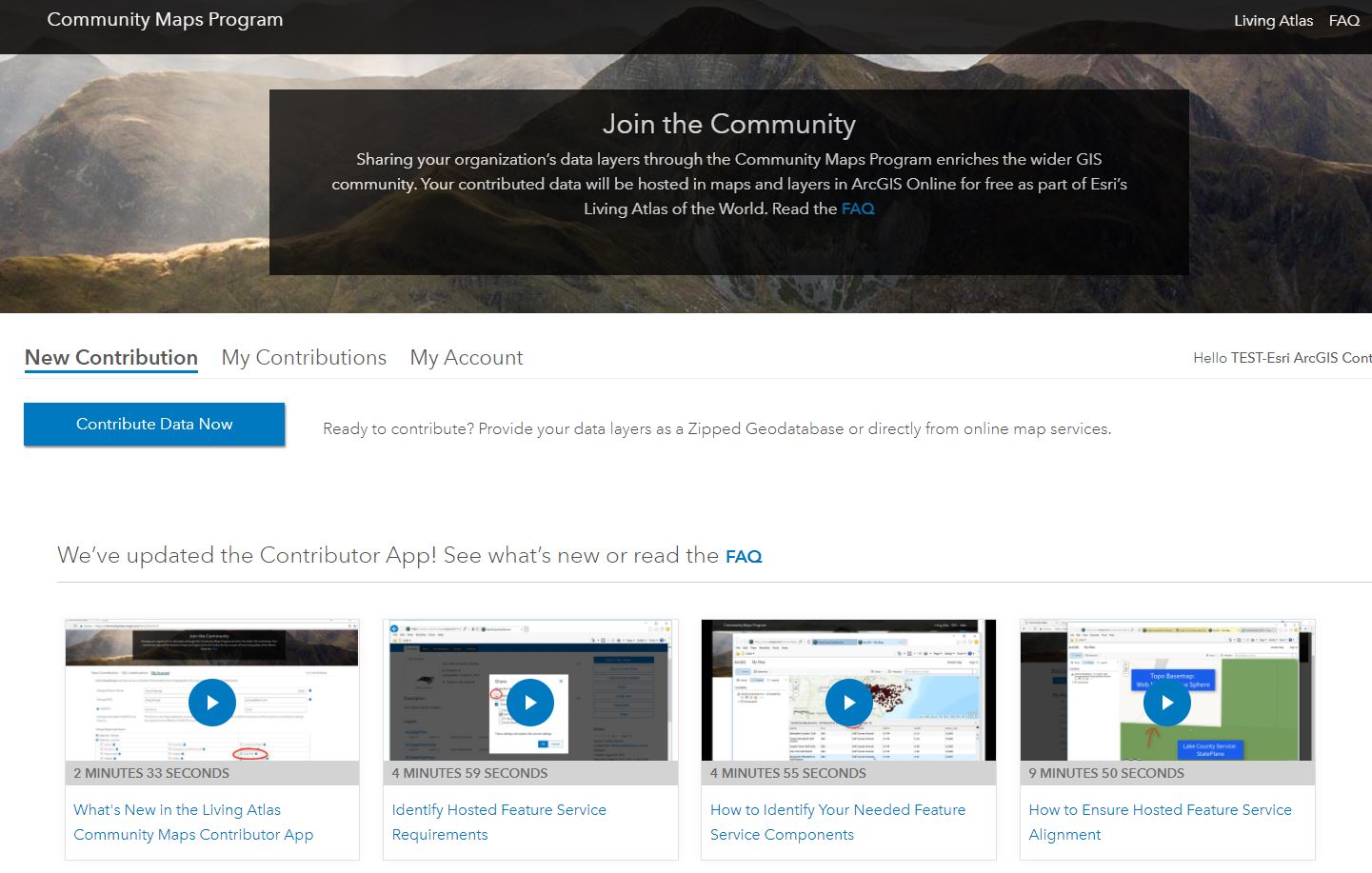
The Community Maps Team has just launched a new version of the Community Maps Contributor App!
The Community Maps Contributor App offers an improved user experience, a new option for sharing map data, and better ways for our contributors to manage their accounts and the content they share with the Living Atlas of the World.
What has changed?
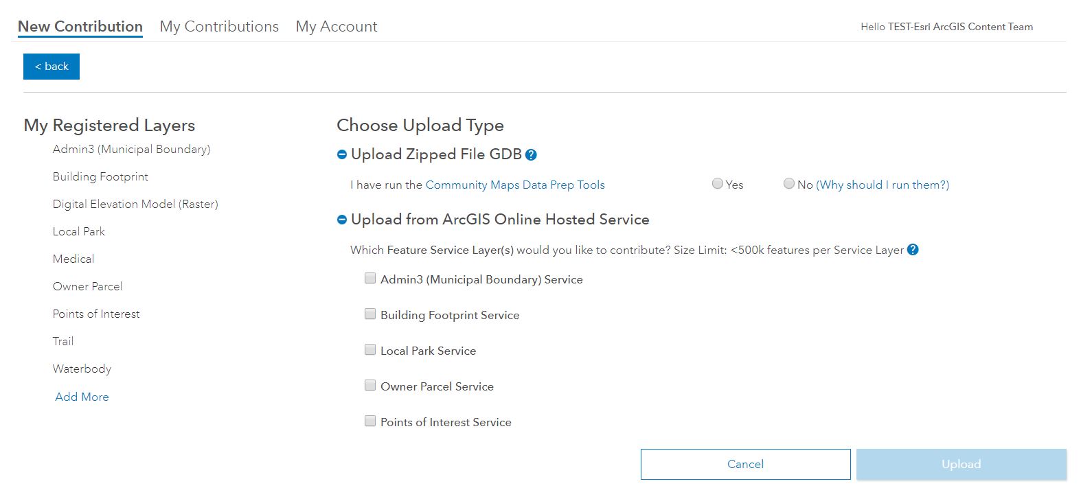
There are now two ways to upload basemap content. They can combine all map layers they wish to contribute into a single Zipped File GDB or, our contributors have the option to provide ArcGIS Online Hosted Feature Services as layer choices. Currently, this option supports Admin 3 (Municipal Boundaries), Building Footprints, Local Parks, Owner Parcels, and Points of Interest. We will build on this and will support additional source layers soon.
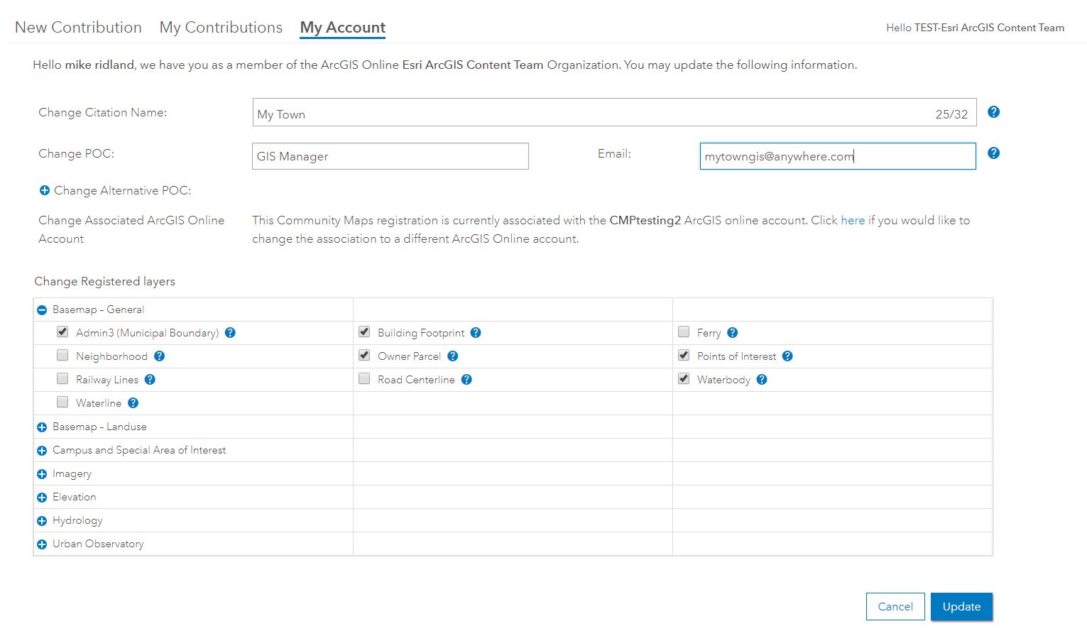
We have added an improved self-administration interface that will help contributors better manage their information. Organizations can quickly update their Citation Name, Point(s) of Contact, Registered Layers, and even make changes to their ArcGIS Online login name associated with Community Maps.

Commenting is not enabled for this article.