Change is the only constant and floor plans are no exception. Building layouts constantly change to meet the ever-evolving needs of an organization be it schools and universities, airports, hospitals, government facilities, or corporate campuses. A section of a specific floor may be remodeled, a particular building expanded, or an entirely new building constructed to relocate or accommodate more staff or operational needs and growth.
However, organizations are having trouble keeping up with the frequency of changes across organizations’ real estate portfolio, leading to inaccurate and outdated floorplans. As a result, there is a growing need for a single system of record to visualize all indoor data and the ability to keep it current while putting it to use across various departments including facilities and operations.
ArcGIS Indoors enables your organization to build an indoor GIS (Geographic Information System), bringing the power of GIS to indoor spaces through the entire ArcGIS system. It enables indoor data visualization, capture, management, and analysis in a single system of record which can be consumed in focused, ready-to-use apps.
At the core of indoor GIS are digital, interactive indoor maps that can easily be created, shared and maintained using Indoors. They visualize the indoor built environment to help building occupants, visitors and contractors understand where specific points of interest, places, assets and people are.
With the recent release of ArcGIS Enterprise 11.2, ArcGIS Indoors now includes an all-new web application named Floor Plan Editor to meet the needs expressed above.
Floor Plan Editor
Floor Plan Editor is a simple and intuitive web application that helps create new floor plans and keep existing floor plans up to date. Non-GIS professionals can now easily and quickly make changes to floor plans to reflect what is built and use it for what-if scenario planning to meet future needs. Users do not need to be trained to use professional software like ArcGIS Pro, AutoCAD, or sophisticated BIM software, allowing facilities and operations staff or K-12 administrators, looking to digitalize their floor plans for improved emergency response times, to create and maintain these maps themselves.
Create new floor plans
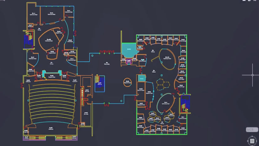
Don’t have CAD or BIM data of your floor plans to create indoor maps from? No problem. New floor plans can be easily created from scratch by either tracing over an image of the floor plan or free hand drawing the floor plan with sketch tools. The changes made can be shared to collaborate and review before committing them to your system.

Update existing floor plans
Need to make quick updates to reflect changes due to a remodel? Want to do some what-if scenario planning to accommodate future needs? Floor Plan Editor includes tools to help you make such changes quickly.
Remodeling projects can involve splitting existing rooms by adding walls to repurpose them. For example, a less frequently used conference room could be converted into some offices to accommodate new incoming staff. On the other hand, merging more than one adjacent room by removing walls to make a larger space is also common to make space for collaboration. Merge and Split can be used in such cases.

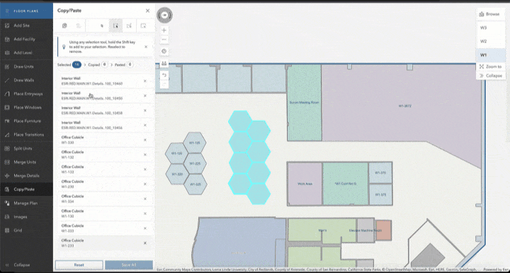
The layout of several floors often resembles each other. In some cases, even sections of the same floor can comprise of similarly sized office cubicles or work pods. Instead of repeating work, simply Copy and Paste items to update the floor plan. Pasted items can be moved and rotated as desired.
When making updates to existing floor plans, accuracy is very important. Grids help keep your drawing aligned with the rest of the space. Specifying dimensions help make precise updates and saves time when drawing.

Enhance your floor plans
Do you have just a basic floor plan that only includes room outlines? Items like doors, windows, stairs and even furniture add more detail to your indoor maps. Apart from making your maps more comprehensive, doors and stairs are also important for indoor wayfinding and navigation. These objects can be intricate and time consuming to draw by hand. Floor Plan Editor includes a pre-built palette, which you can simply drag and drop onto the map. The palette is fully customizable so you can add your own.

Watch this video for a quick demo of all the capabilities of Floor Plan Editor. The app is available with the Indoors Spaces license in ArcGIS Enterprise 11.2.
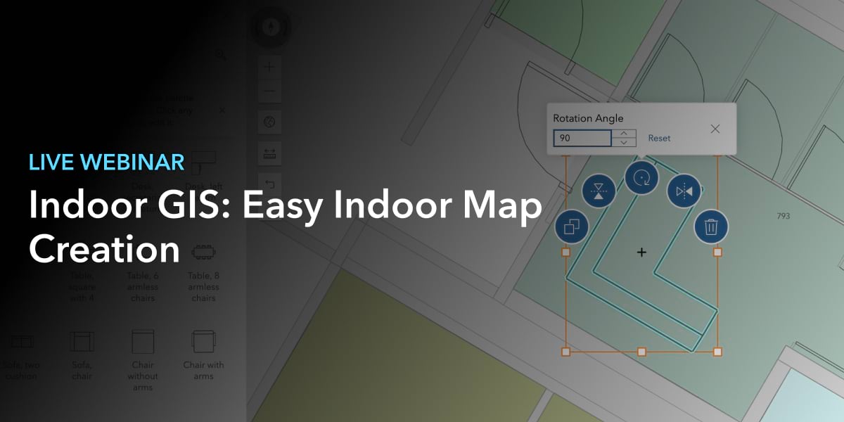
Watch this webinar recording to learn more about easy indoor map creation and maintenance.
For further information on the product, visit the ArcGIS Indoors page. If you have any questions, visit or reach out via our Esri Community place.


Commenting is not enabled for this article.