ArcGIS IPS provides the blue dot positioning experience inside buildings that allows for real-time wayfinding and navigation, location sharing and tracking and location data collection use cases. These use cases are enabled through technology that leverages the power of Bluetooth, WiFi and other sources. In this blogpost, we explore indoor positioning based on Bluetooth, emitted from small radio devices called Beacons. Let’s take a closer look at how they work and come into play for indoor positioning.
What is a Beacon?
First, let’s clarify what exactly a Beacon is. The Beacons we are talking about in this context are also referred to as BLE/Bluetooth Low Energy Beacons or iBeacons. As the name suggests, they are small radio transmitters, sending out Bluetooth signals to mobile devices in their vicinity.
They are most used for indoor positioning, where they provide smartphone users with information about their position within the building, acting as some sort of lighthouse for orientation – hence the name “Beacon”.
Ever since the introduction of the BLE (Bluetooth Low Energy), also known as “Bluetooth Smart” or “Bluetooth 4.0” standard in 2011, energy efficiency has improved significantly. BLE is only activated when a connection is established, otherwise it will remain in sleep mode. Moreover, while regular Bluetooth can handle big amounts of data but uses up a lot more energy, Bluetooth Low Energy is typically used when only a small amount of data needs to be transmitted. This has a positive effect on battery life of the receiving smartphones, making them last substantially longer in comparison.

What do Beacons do?
Beacons send out Bluetooth Low Energy signals, transmitting information about their position. These radio signals have a unique ID number and are sent out in regular intervals, i.e. around 3 times per second.
Mobile devices in a Beacon’s vicinity can pick up these signals and use them as an indicator for their own location. They then send the ID connected to the signal to the Cloud. The range of a Beacon can vary from 1-150 meters (3.28 – 492.13 feet).
As soon as a mobile application recognizes the BLE signal from the Beacons, the event associated with the Beacon is triggered. This could, for instance, be a push notification that is sent to the smartphone, e.g. a welcome message upon entering the building.
Storing the data in the cloud helps keep the app light and fast and makes it easy to change the action connected to the Beacon signal.
Indoor Positioning with Beacons
There are several different technologies on the market today that enable indoor positioning and mobile indoor wayfinding, and Beacon technology is one of them. Due to the relatively low-cost involvement and high-quality results that can be achieved with this method, it is also one of the most used.
To set up an indoor positioning system using ArcGIS IPS, Beacons need to be installed inside the building first. The number of Beacons needed for an indoor positioning system depends on the building structure and size. A Beacon placement plan is designed to plan out where the transmitters need to be mounted to achieve the best positioning accuracy results. To fix the Beacons in place, strong adhesive double sided tape is used, which also allows for an uncomplicated deinstallation if needed.

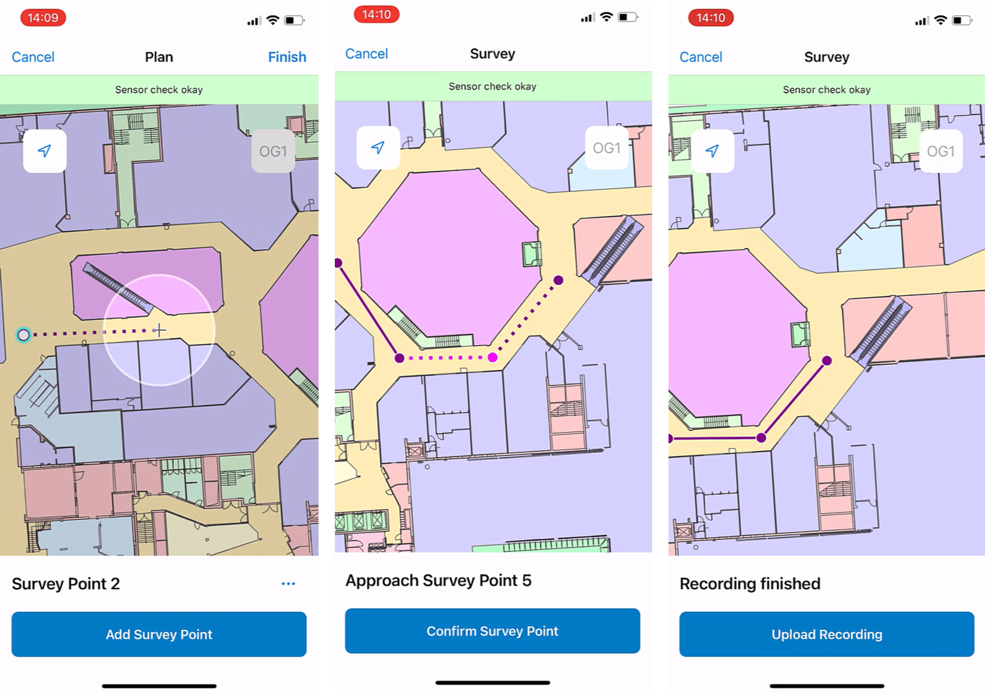
As a next step, using the mobile ArcGIS IPS Setup app (available on iOS and Android), radio signals of the indoor environment are collected. Once the data is processed, your indoor radio map is ready to support real-time positioning inside your building.
With the whole system is in place, the Beacons send out their signal. The smartphone either picks up the signal of the Beacon it is closest to or computes its position based on various Beacons’ signal strengths, allowing the user to position themselves on the map inside the app. The position is shown in real time as a blue dot and provides them with enhanced orientation and mobile navigation inside the building.
What is inside a Beacon?
Beacons come in varying shapes and sizes, but they usually fit easily in the palm of your hand. Although indoor positioning installations usually go with battery powered Beacons, they can also come with a USB port.

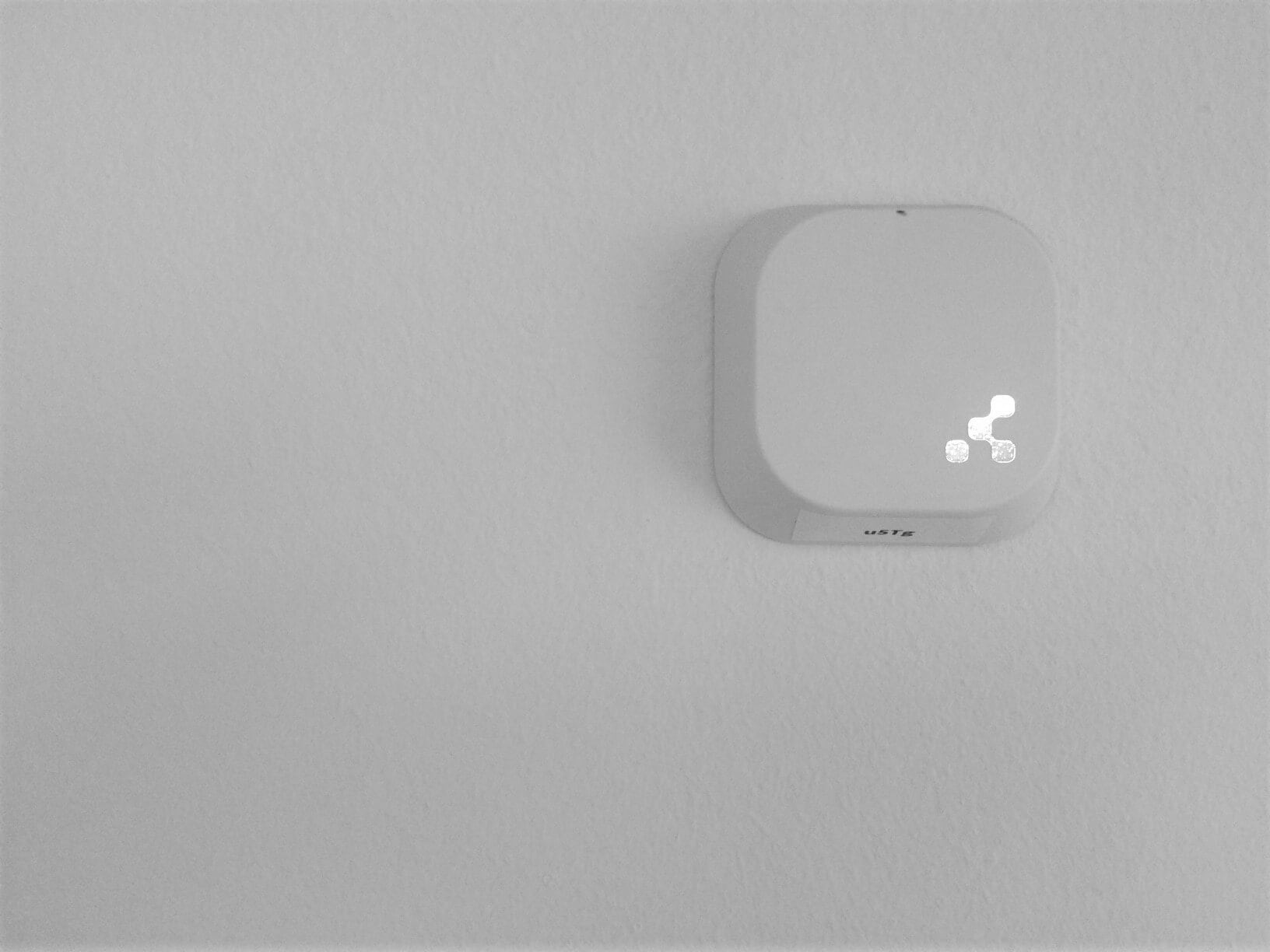
Due to their compact design, Beacons blend into their surroundings quite easily. Their shapes may vary depending on the provider and colors can often be customized. This makes it even easier to hide them from plain sight on the walls and prevent any disruption in the building’s aesthetics.
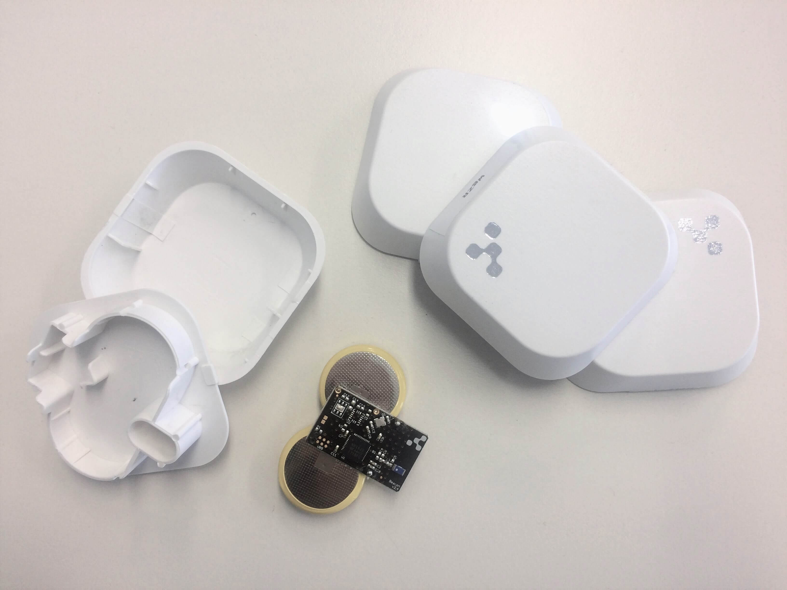
Whereas other digital devices have a quite complex inner life, Beacons are quite the opposite. In the case of battery powered Beacons, they consist of a lithium chip battery, a CPU and a radio. Special use cases may require them to also contain an accelerometer, temperature sensors or other unique add-ons, but that is not the norm.
What do Beacons not do?
Beacons are one-way communicators. That means they transmit signals but are not able to listen and therefore also not able to perform any actions on their own. Neither can they send you messages, nor collect any information.
It’s the mobile app that can trigger actions inside the app when it’s in signal range and when the user consents to receiving push notifications. Beacons can’t track devices or collect third party data.
Lastly, Beacons do not drain your phone’s battery. As mentioned above, Beacons are running on Bluetooth Low Energy, which is highly energy efficient and therefore will not have a significant impact on battery status.
Want to learn more about seamless indoor positioning with ArcGIS IPS using Beacons? Join this upcoming webinar on Thursday, May 12, 11:00 AM EDT/5:00 PM CEST.


Commenting is not enabled for this article.