Our most recent map content release updates and expands the large scale coverage of the World Street Map. Europe and Russia were updated and the map coverage expanded into Central Asia at large scale from ~1:288k down to ~1:1k (levels 11 to 19). This coverage matches the Light and Dark Gray Canvas updates that occurred earlier this year. A similar expansion of map coverage including the addition of community content also occurred in our reference overlay layers. These include the World Boundaries & Places, World Boundaries & Places Alternate, and World Transportation map layers. Our World Topographic map will be updated and expanded for Europe in an upcoming release.
Content for these updated basemaps were produced from both commercial data as well as community contributions. Contributions from communities were made through the Community Maps Program. Community content in Europe appears in Bosnia & Herzegovina, Denmark, Finland, Great Britain, Greece, Romania, Spain, select areas in Russia, and two universities in Poland. Another unique feature of this basemap is the addition of dual language labels. The map shows local language labels in addition to its English translation/transliteration. This applies to feature labels for cities, roads, facility sites, water bodies, and more. Here are a few screen captures of this latest Europe update.
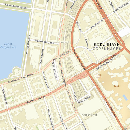
Copenhagen, Denmark, ~1:9k Street Map
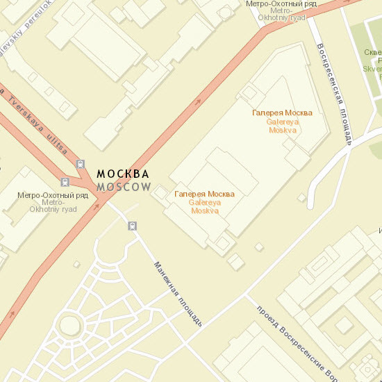
Moscow, Russia, ~1:4K Street Map
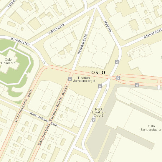
Oslo, Norway, ~1:4k Street Map
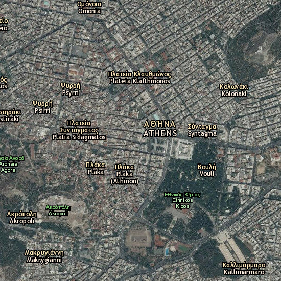
Athens, Greece, ~1:18k Boundaries and Places reference layer over imagery
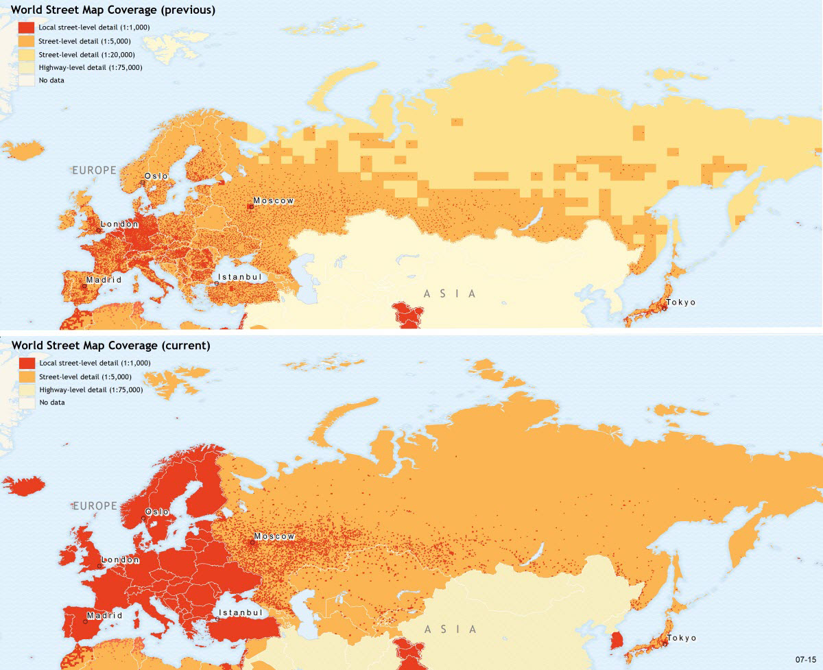
Click the image for an enlarged view of the comparison of the previous World Street Map coverage with the current coverage that’s been updated and expanded in this release.
The service was updated on the following servers: services.arcgisonline.com and server.arcgisonline.com. If you have previously used the World Street Map or World Imagery with Labels map, you may need to clear your cache in order to see the updates.
If you have feedback on content, try our Street Map Feedback web map.
If you have other feedback or comments, please post them to the ArcGIS Online forum.
Commenting is not enabled for this article.