This release of Scene Viewer provides improvements to performance and functionality to help you author beautiful 3D scenes that respond quickly to your audience’s navigation. Take a look at some of these new capabilities and try them out! Below are some tips for providing new experiences to contextualize existing, authoritative data with eye-catching 3D over the web.
Visibility Range
Scale visibility ranges can help GIS you show the right amount of detail at the right scale. When balancing performance and detail, making choices about what to show can be challenging. Scale can work differently in 3D as the tilt of the camera introduces complexity with defining what is visible. Many of you have requested more control in Scene Viewer to help you make sense of what scale means in 3D.
Now, under Layer Properties, you can access the Visibility Range to configure the scale range at which the layer is visible. This not only provides the capability to author scenes that turn certain layers on and off when zooming in and out, but also indicates how the camera tilt affects scale.

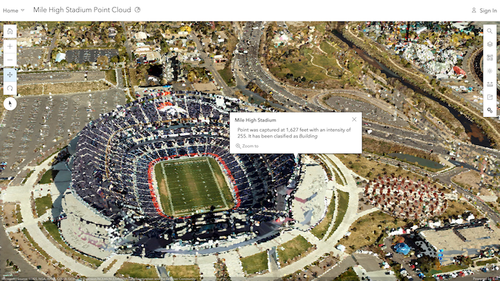
Pop-ups on Point Cloud Scene Layers
You have a new capability to utilize the vast amount of information in LiDAR and photography-based point clouds that will enable you to see details about each point in the point cloud scene layer. This helps to better understand information the scanner has collected about color, classification code, elevation, intensity and other variables. With pop-ups enabled in Layer Properties, click on a point in the point cloud and immediately see detailed attribute information behind these rich visualizations.
Performance Improvements
The technology that streams 3D data to viewers of scenes and apps over the web has been improved to load data more efficiently by optimizing the loading strategy for Scene Layers. You’ll immediately notice this when authoring new scenes, and this performance improvement also applies to previously authored scenes.
Visual Improvements
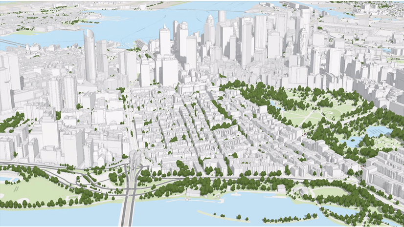
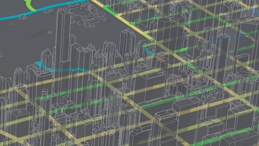
There are new improvements with how ground layers load and visualize in Scene Viewer. Draped Vector and Raster data, including basemaps, elevation and imagery now load and display a more homogeneous scale level, reducing the potential for draped content to display two different cached levels of detail (LOD). Tile layers are created to show streets, buildings and other content at certain scales, and this can be challenging in the scene as tilt affects scale. Now, rather than loading and displaying many scale levels, Scene Viewer loads and displays the same LOD in large parts of the view.
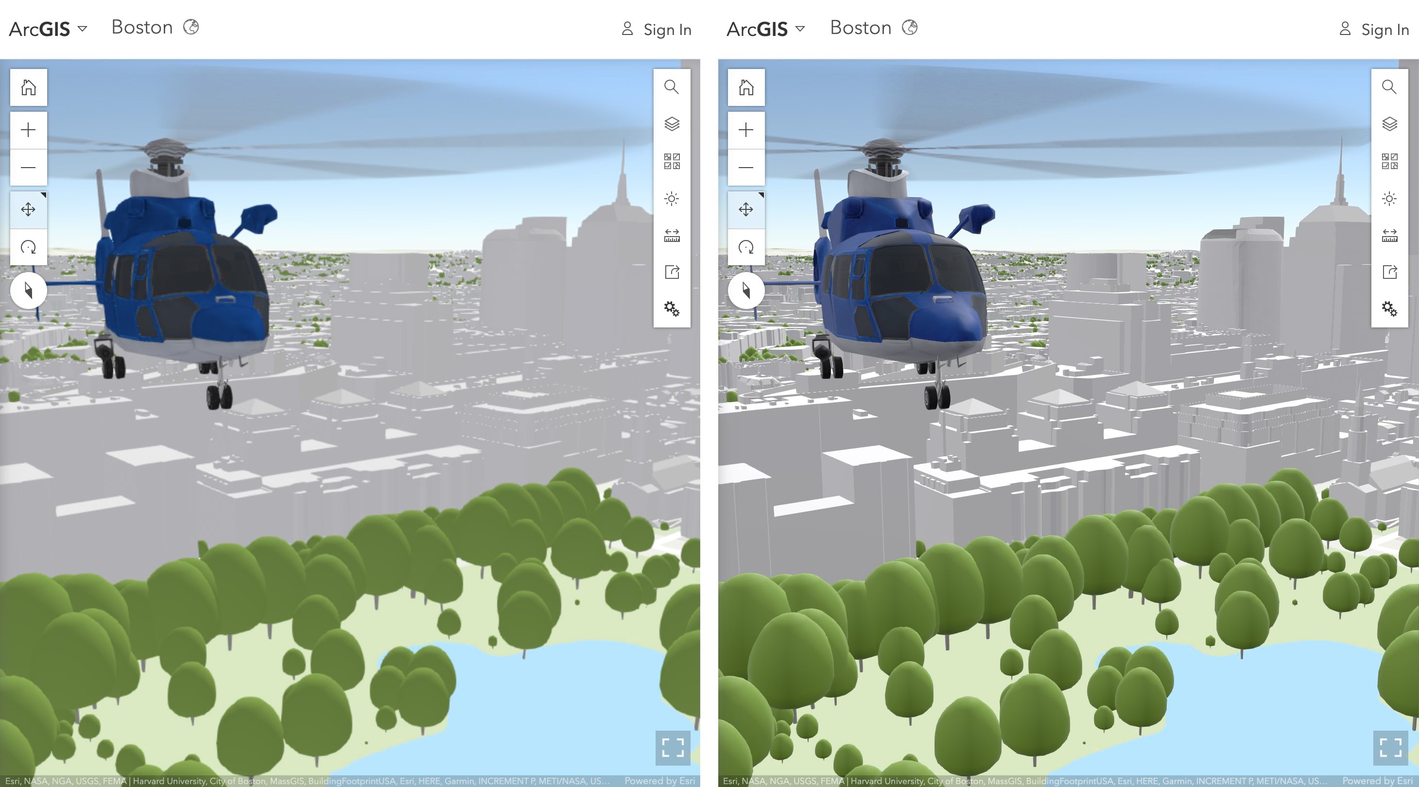
Scene Viewer has improved the sense of depth, contrast and definition of 3D content like buildings, trees and symbols. Also, when looking closely at available 3D models, you’ll notice material properties like the metallic shine on vehicles and infrastructure. To enable this new lighting and shading model, change your Settings to “Quality”.
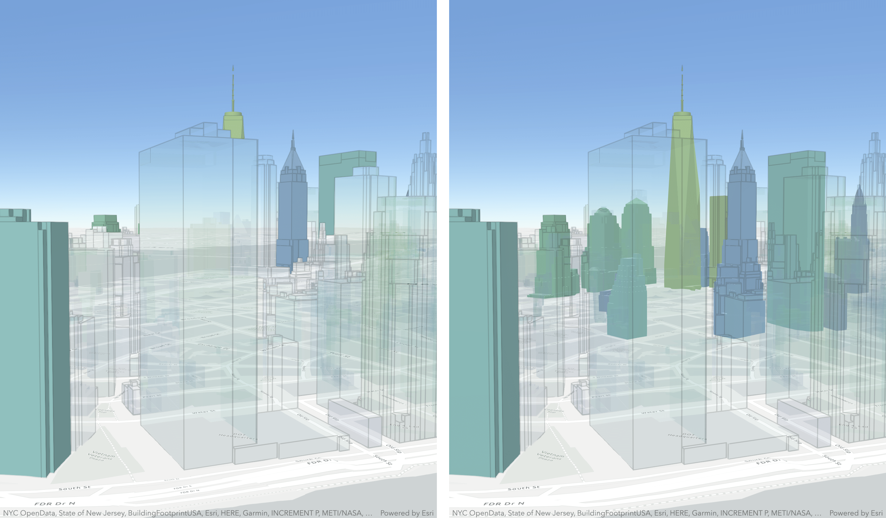
In this release, you’ll also notice improved transparency rendering for buildings and extruded polygons. This improves your ability to see non-transparent features behind transparent ones, which is helpful to draw attention to specific areas of interest. Be sure to incorporate transparency in your scene authoring strategy. You’ll find the transparency control slider in Layer Properties and the smart mapping color settings in Layer Style.
Finally, there is an added small loading bar on the Layers button that displays the status of all layers being loaded. This helps you and your audience understand the data being loaded and visualized in the scene.
See how this release improves your existing scenes and get started authoring your own today!


Commenting is not enabled for this article.