Web maps are increasingly becoming the principal manner in which we publicly share our GIS stories. For many of our users, designing content within ArcMap is the best way to ensure quick authoring with the ArcGIS Online map viewer. Because so many users rely on this workflow, it is also important to keep in mind the role of well-prepared geographic information. The clarity of purpose and presentation of your operational layers make the difference between just another web map and one that people will use to learn and help convey their own stories.
One serious concern when designing for the web is the preparation of your content. This should be done before the audience finds it. Whether you’re sharing feature services from ArcMap or importing a zipped CSV file, preparing your data for the web makes all the difference. As a practical rationale for presenting your content in a useful way, evaluating your content’s design is imperative to ensuring quality web maps and applications.
From a raw to consumable state
Most people do not want to see your raw data, at least not until they recognize its significance in your map. More often than not, this means your GIS data requires a transformation prior to being shared publicly. This can be time-consuming as GIS data is often collected and assembled for of a wide range of applications, rather than telling a specific story. Transforming your data into an easily consumable state will help convey the information faster and more concisely. A few things to consider when designing your content are pop-up windows and the quantity and scale of the map’s operational layers.
Pop-up windows reveal additional information about your data and your map’s story. In the ArcGIS map viewer, and in many of our story map templates, pop-up windows are designed to put your GIS data on center stage. Before you configure pop-up windows on your map, consider their intended effect. Is there enough data to support an informative pop-up window? Perhaps more importantly, is your data properly formatted and easy to interpret?
Consider designing your pop-ups like you might design a slide in a presentation, displaying only the essential parts of your data that help the reader focus on the important information that conveys your map’s story. This means you may need to format the data with proper casing or calculate new data fields to contain easy-to-understand depictions of your data. Also, hide any of the fields (except the Shape field, which is required in pop-ups) that do not support symbology, labels, or content within your map.
Limiting scale range
When sharing a feature service from ArcMap to ArcGIS Online, it’s important to consider the layer’s scale. Many online maps are multiscale maps, but your map story may not require all the available scales. An important question to ask is: Does your map display an appropriate level of content at each of the scales at which it is expected to be used? Generally, fewer features with smaller symbols and less complicated geometry should be shown at smaller map scales and progress to an appropriate amount of detail at the scales where your users will interact with the map. If smaller scales do not enhance the user’s experience, set an appropriate zoom range on your layer prior to sharing it through ArcMap.
Assembling layers online
Another consideration when designing your content in ArcMap, prior to sharing to ArcGIS Online, is choosing an effective basemap. Basemaps provide a framework onto which you display your dynamic operational information and, when used properly, can help bring out the best in your data. Design your map using the basemap with which you expect to create your web map. This will ensure your content meshes effectively before it is shared in the ArcGIS Online environment.
The quantity of layers in your map can also make a big difference in your story’s success. A web map with more than a few layers can distract users away from your map’s purpose. When designing your content in ArcMap, consider whether you plan to share several layers as one feature service or share a feature service for every layer. More often than not, the best results will be a combination, where some services contain one layer while others contain a few closely related, interdependent layers. Regardless of how many layers your map contains, your goal should be to remain thematically consistent.
Moving forward with ArcGIS Online
The ArcGIS map viewer is ideal for collaborating on maps within your organization, as the user can add and remove bookmarks, add map notes, and turn layers on and off. However, sharing your map with the ArcGIS map viewer is a rather poor practice as it often requires your users to have preexisting knowledge about your data. Web maps intended for wide consumption should keep your audience in mind and focus the map’s purpose to directly engage the user with the data being displayed.
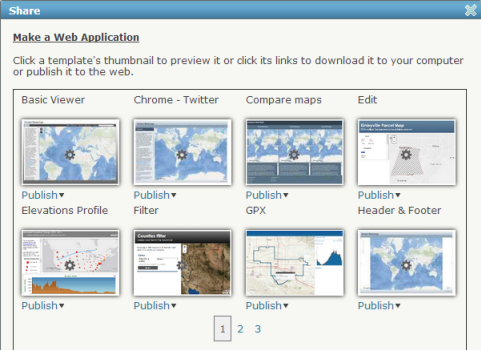
Maps intended for the public should be taken to the next level by configuring an application. Many of our story map templates can transform the presentation of your data and help focus it for specific goals. Authoring content in ArcGIS Desktop for ArcGIS Online requires that you design your map with ArcGIS Online design constraints in mind. Although the capabilities of ArcGIS Online continue to increase in scope, it is not yet as complex as a software environment. Thus, the more you know about what is possible to achieve using ArcGIS Online, the easier it will be to design map documents that will form the basis of effective map services others can use to build their own web maps.
Quality checking your content to ensure it is ready and will work properly for the people you’ve designed it for happens throughout the data preparation and publishing process. For more discussion on preparing your data for the web, read about our Intelligent Map Checklist.


Commenting is not enabled for this article.