Inhale. Exhale.
Let’s take a deep breath. After having our collective minds blown from the technology shown at this year’s Esri User Conference, we will need a pause before we have a look at yet another amazing development.
Were you aware that a hosted environment for imagery and rasters just debuted? Sharing your raster data as an online layer just got a whole lot easier now that ArcGIS Image for ArcGIS Online is out and ready for action. It promises deep benefits for the user community.
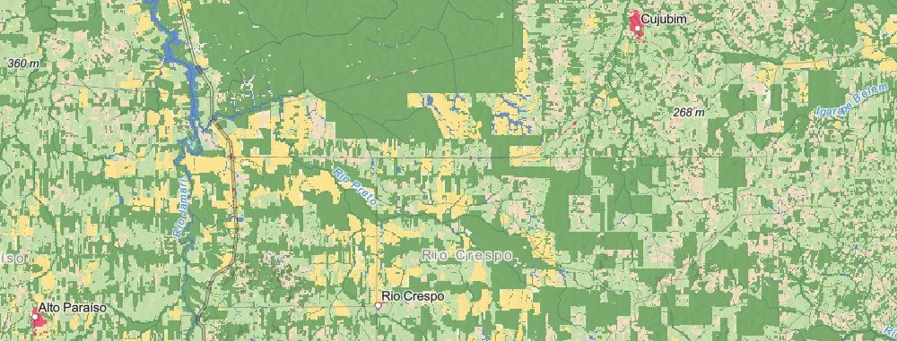
Esri 2020 Land Cover
You also may not have noticed that ArcGIS Image for ArcGIS Online is already carrying some heavy loads. It is currently serving one of the largest layers in the Living Atlas.
Behind the scenes, the Living Atlas team chose ArcGIS Image for ArcGIS Online to share Esri 2020 Land Cover, the 10m resolution, ten class land cover dataset of the world. Esri 2020 Land Cover is a new land cover layer that was produced using machine learning, in partnership with Impact Observatory and Microsoft.
The work was finished just days ago. We needed to get 150 gigabytes of imagery up and running quickly, and have it work for both web maps and analysis. ArcGIS Image for ArcGIS Online did the job. It took us from imagery to an online layer in short order.
It’s now simple to serve versatile raster layers
I’ve had some experience working with the pre-release of ArcGIS Image for ArcGIS Online. I produce raster layers for Living Atlas using ArcGIS Enterprise and I am really impressed. It promises to greatly simplify the workflow of producing image layers for our customers.
The effort needed to go from image to shared online layer has become so much simpler, even your boss can do it!

Okay, so how do I make my own layer?
In this video I guide you through the steps in creating your own thematic image layer like the Esri 2020 Land Cover. Follow along with me and make your own, I will take you through start to finish.
We will make a soil map of Madeira Island in the Atlantic Ocean. We start by downloading the soil data from the internet and finish with an online map layer, complete with popups, legend, and symbology. The video takes 20 minutes to watch.
You will need a license for ArcGIS Pro, and your arcgis online administrator needs to enable ArcGIS Image for ArcGIS Online in your organizational account.
After I introduce myself at the beginning, I show you how to download a tile of Madeira Island from soilgrids.org at 1:37. Next, I show you how to copy that raster to a new raster to eliminate zero/no data values at 3:25. An attribute table will drive the legend, colors, and popups for your new layer. I show you how to prepare this kind of attribute table for the service at 5:54. After that, I take you through the steps in creating a new imagery layer item online at 16:28. Then finally, I show you how to set up popups in your online layer at 21:51.
Are you ready? Let’s go!

Article Discussion: