November 8, 2018 | Ian Wittenmyer | Announcements Configurable Apps Announcement – Apps Scheduled to move to Mature Support Phase December 2018
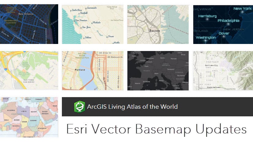
November 5, 2018 | Diana Lavery | Mapping Apply Filters to Make ArcGIS Living Atlas Layers Work For You
October 26, 2018 | Multiple Authors | Announcements What’s new in ArcGIS Companion 1.3 (October 2018)
October 16, 2018 | Bern Szukalski | Constituent Engagement Things you didn’t know you could do with Story Maps
October 8, 2018 | Dawn Wright | Sharing and Collaboration Making Story Maps Citable (e.g., with Digital Object Identifiers)
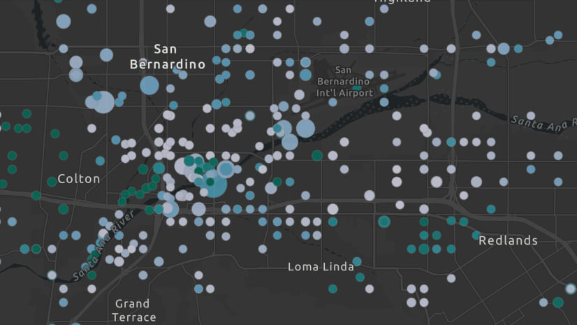
September 24, 2018 | Paul Barker | Mapping Visualizing related data with Join Features in ArcGIS Online
September 21, 2018 | Russell Roberts | 3D Visualization & Analytics What’s New in Scene Viewer (September 2018)
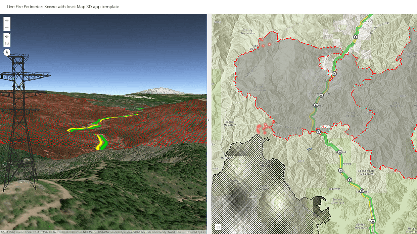
September 19, 2018 | Philip Mielke | 3D Visualization & Analytics New 3D Web App Template: Scene with Inset Map
September 19, 2018 | Heather Eisan | Announcements Updated National Park Service symbol set (September 2018)
September 18, 2018 | Multiple Authors | Announcements Whats new with ArcGIS Companion 1.2 (September 2018)
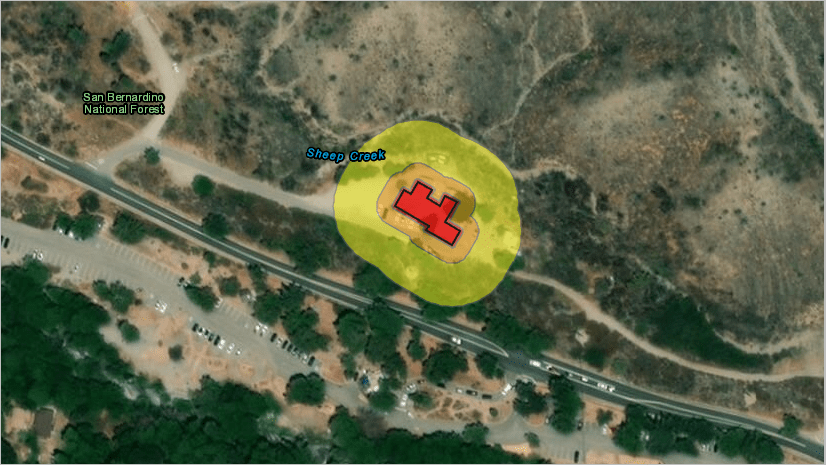
September 17, 2018 | Multiple Authors | Analytics Protect Your Home from Wildfires by Calculating Defensible Space
September 13, 2018 | Kelly Gerrow-Wilcox | Sharing and Collaboration Best Practices for High Demand/Viral Apps