The latest release of ArcGIS Bathymetry for ArcGIS Pro 3.8 adds support for storing CAD and BIM data in Bathymetric Information System (BIS), along with enhanced S-100 workflows that can help to enable safer navigation with precise depth information based on tidal adjustments at any given time. New additions include support for the S-104 Water Level Information for Surface Navigation product specification, exchange set export capabilities for more S-100 products, and an improved BIS schema upgrade workflow.
Create S-104 workspaces
With the ability to create S-104 workspaces, tidal and water level data can now be viewed in ArcGIS Pro as a surface time series. The following new tools are now available to support S-104 workflows: Add NetCDF To S-104 Workspace, which transforms NetCDF water level data and adds it to the S-104 data model, and Export To S-104, which generates an S-104 product from the workspace.
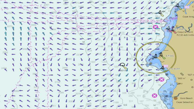
Export S-111 exchange sets
S-111 joins S-102 and S-104 as supported exchange set export options. The Export To S-111 tool packages surface current data into an exchange set with an S-111 product, making it easier to share.
Work with more data in the Bathymetric Information System (BIS)
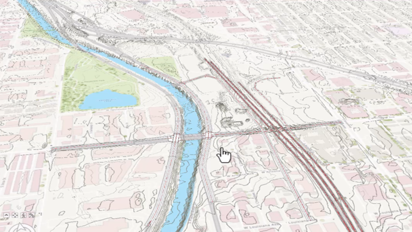
Bringing together CAD & BIM files with elevation data gives a holistic picture and greater context for planning and managing work – perfect for organizations that maintain vast assets in a complex infrastructure, such as ports.
The Analyze BIS tool now also includes a way to upgrade your BIS schema to help keep existing BIS schemas up to date.
Learn more about developments in ArcGIS Bathymetry by visiting the ArcGIS Bathymetry product page and ArcGIS Bathymetry documentation.
To discover more enhancements in this release, check out the What’s new in ArcGIS Pro documentation. Have questions or want to continue the conversation? Post your questions on the ArcGIS Bathymetry board in Esri Community.

Article Discussion: