As is the case with most map adventures, I started out working towards something else entirely, and the dark magic of GIS swept me in an altogether different direction. Here is a map from that unexpected journey…

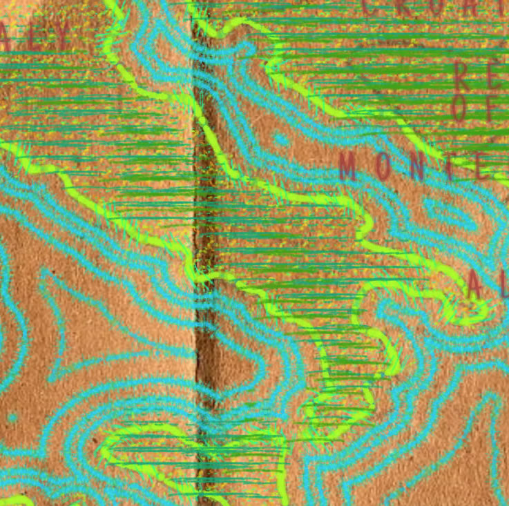
This map was made entirely in ArcGIS Pro, using a NASA Digital Elevation Model (what?) and a vector coastline shapefile courtesy Dylan Moriarty from Project Linework.
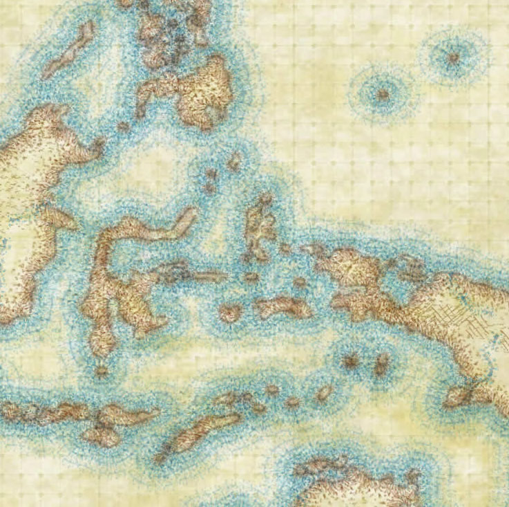
There are three things conspiring to make this map sort of look like (I think) a hand-drawn insert ripped out of a fantasy novel…
1. Mountainification via a hand-drawn lumpiness trick.
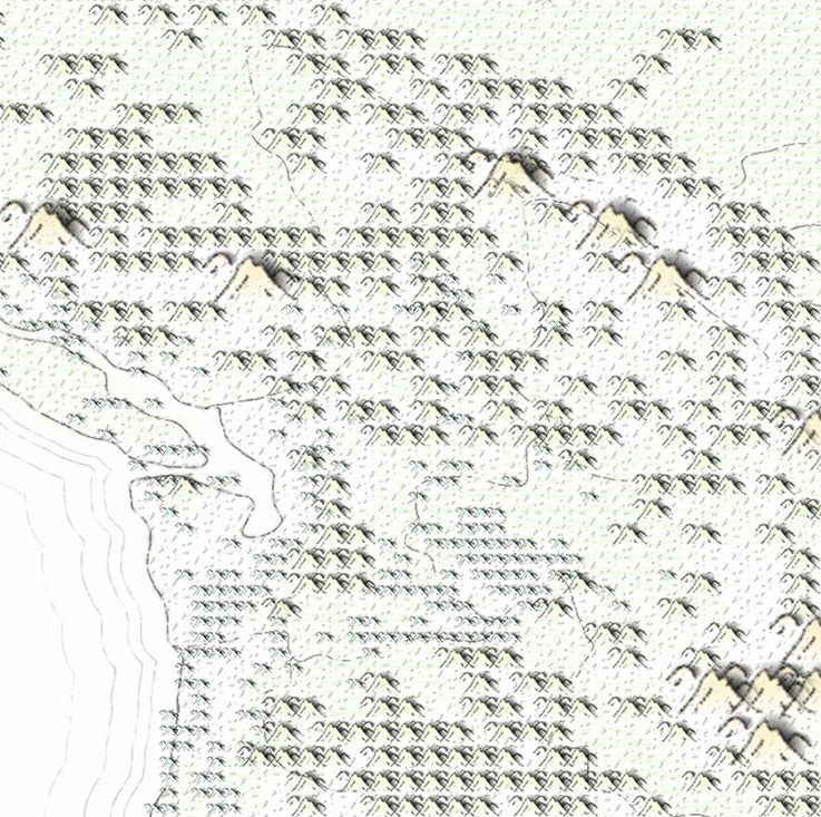
2. The scratchy rendering of vector linework.
3. The use of a touchable textured background and picture symbols.
If you are feeling ambitious, here is an ArcGIS Pro project package with all or the stuff to follow along. Get ready to live!


Article Discussion: