Halloween approaches and so does seasonal candy. Is there any candy more seasonal than candy corn? What if you wanted to sweeten up a map. Could you make, say, candy corn mountains? Of course! Trick or treat your way through these steps.
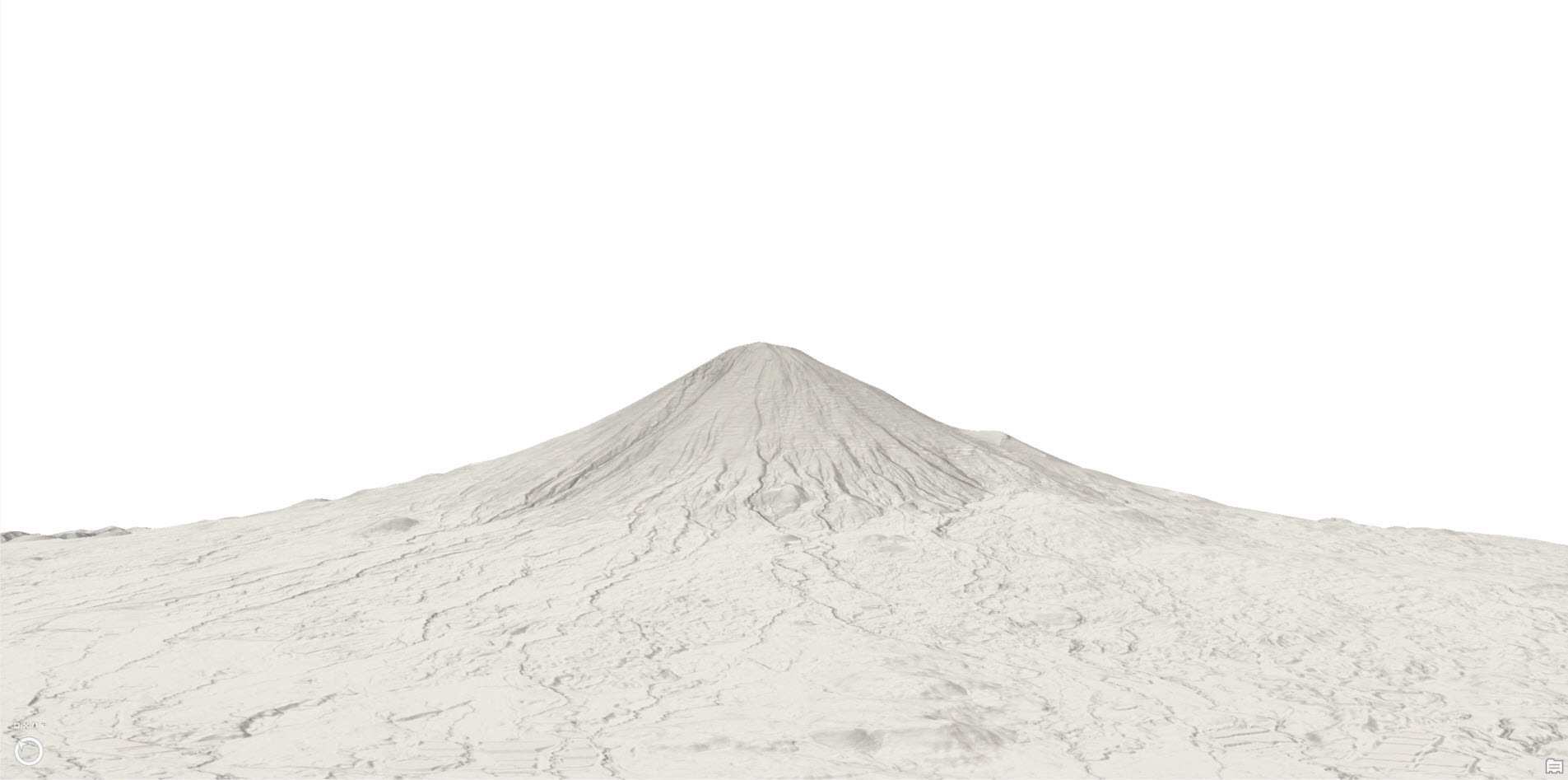
Find a Volcano
In ArcGIS Pro open a Scene view and look for a volcano.
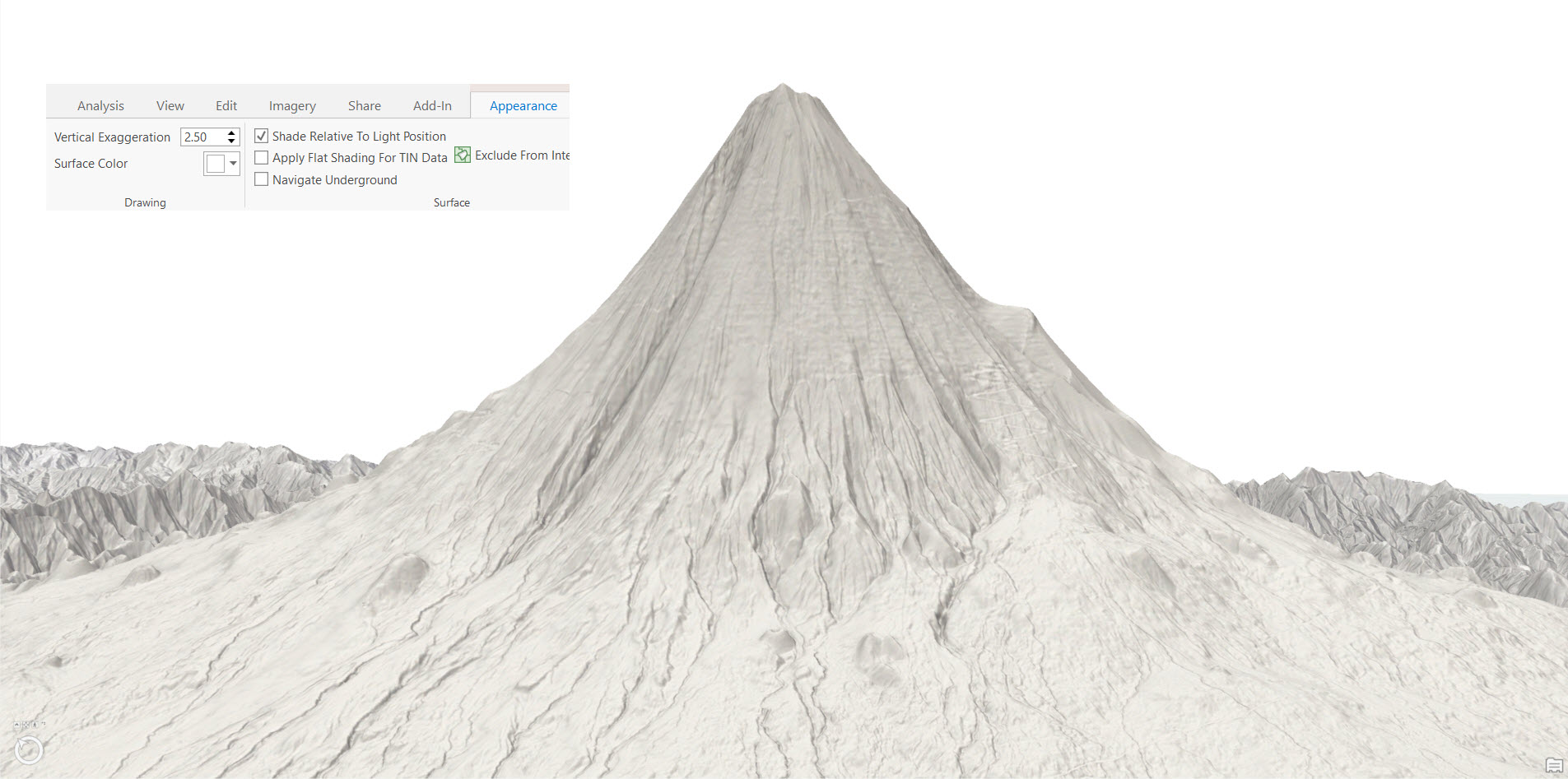
Vertically Exaggerate
This example is exaggerated 2.5 times. The option to Shade Relative to Light Position is also selected.
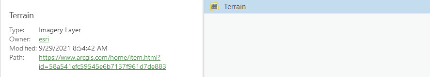
Add Terrain
Go to the Living Atlas and select the Terrain Imagery Layer.
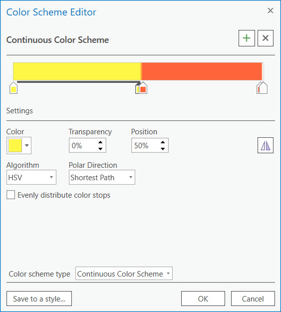
Apply a Sickly Sweet Colour Ramp
The break points will need to be adjusted according to your mountain.
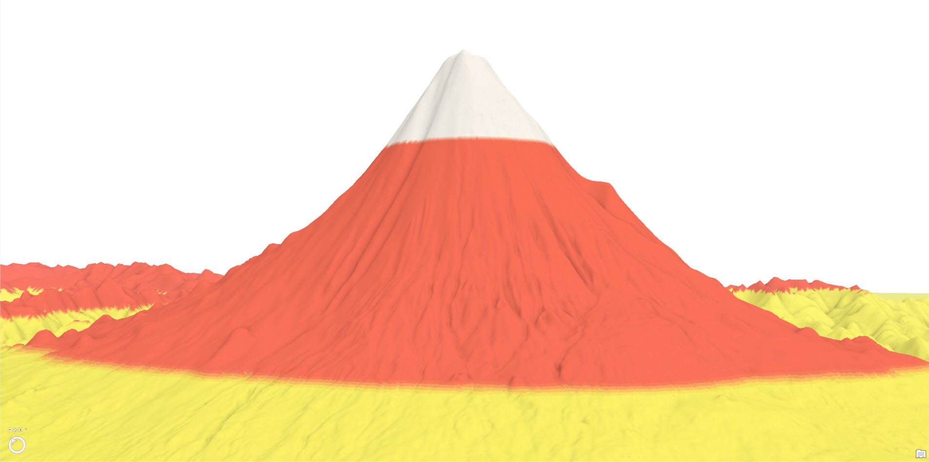
Blend it up
Play around with the blend modes to infuse as much sugar into the mountain as you can. My final TOC structure looked like this (read as if looking at the TOC):
- Terrain with yellow/red/white colour ramp (blend 0% Overlay)
- World Hillshade (blend 22% Multiply)
- World Hillshade (blend 70% Hard light)
- Terrain with yellow/red/white colour ramp (blend 0% Normal)
- World Hillshade
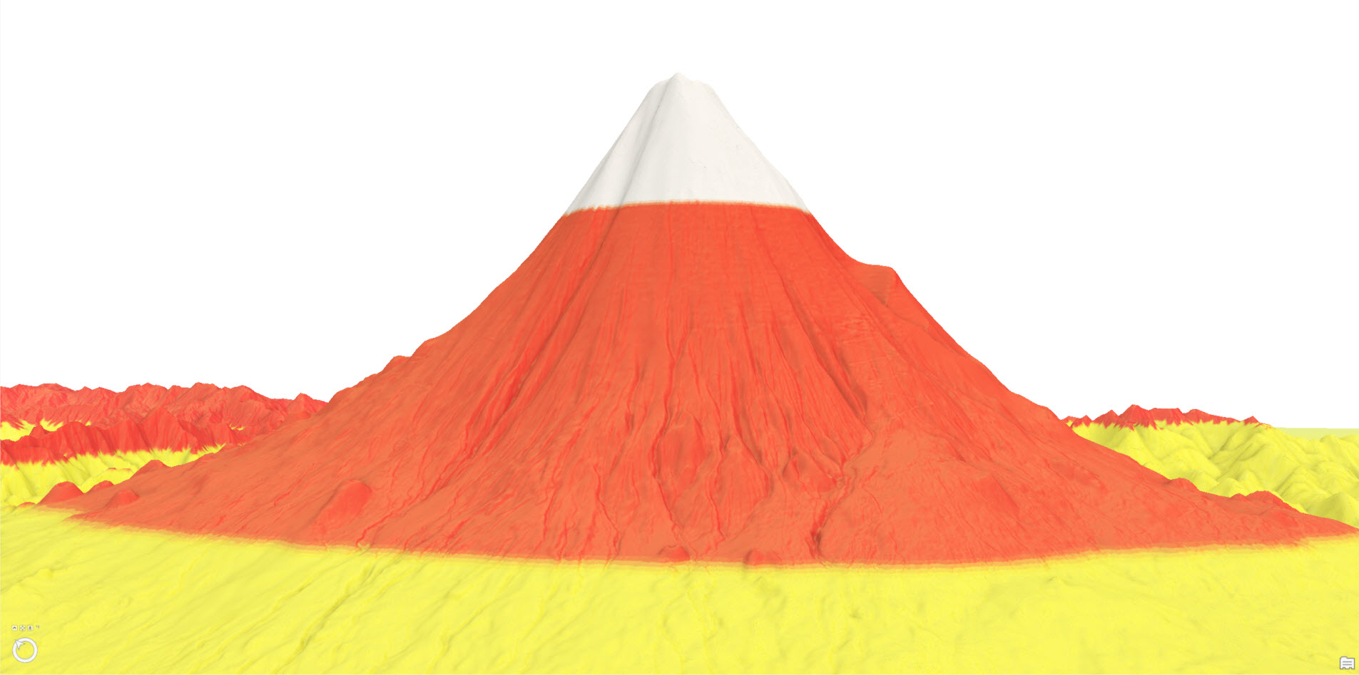
Darken the Sky
In the Map Properties select a dark background colour. And there you have it – you have created your own candy corn mountain!

Here are some bonus images!


Commenting is not enabled for this article.