It’s that time of year (again!) when geographers gather closely to reflect warmly on our shared mission to make our geoid a more spatially aware place. We gather round the warmth of our external hard drives, zip our conference swag fleece vests all the way up, don our coziest ground-truthing boots, and swap stories of hexagonal tessellations, raster formats, and cartograms of yore. But we are a making sort of people with very particular dispositions, so when we see a sphere that isn’t adorned as a globe we see it as an opportunity to set the world just a little bit more right.
Naturally, when we hang ornaments on a tree, we yearn that they were actually little globes and feel just the slightest pang of regret for each of our non-globe ornaments we pretend to feel fondly toward. But this is not the season of pretending. This is a time of authenticity and closeness. So what could be better then to fire up our map-making neurons, gather the children round, and dive into this tangible act of worldbuilding.
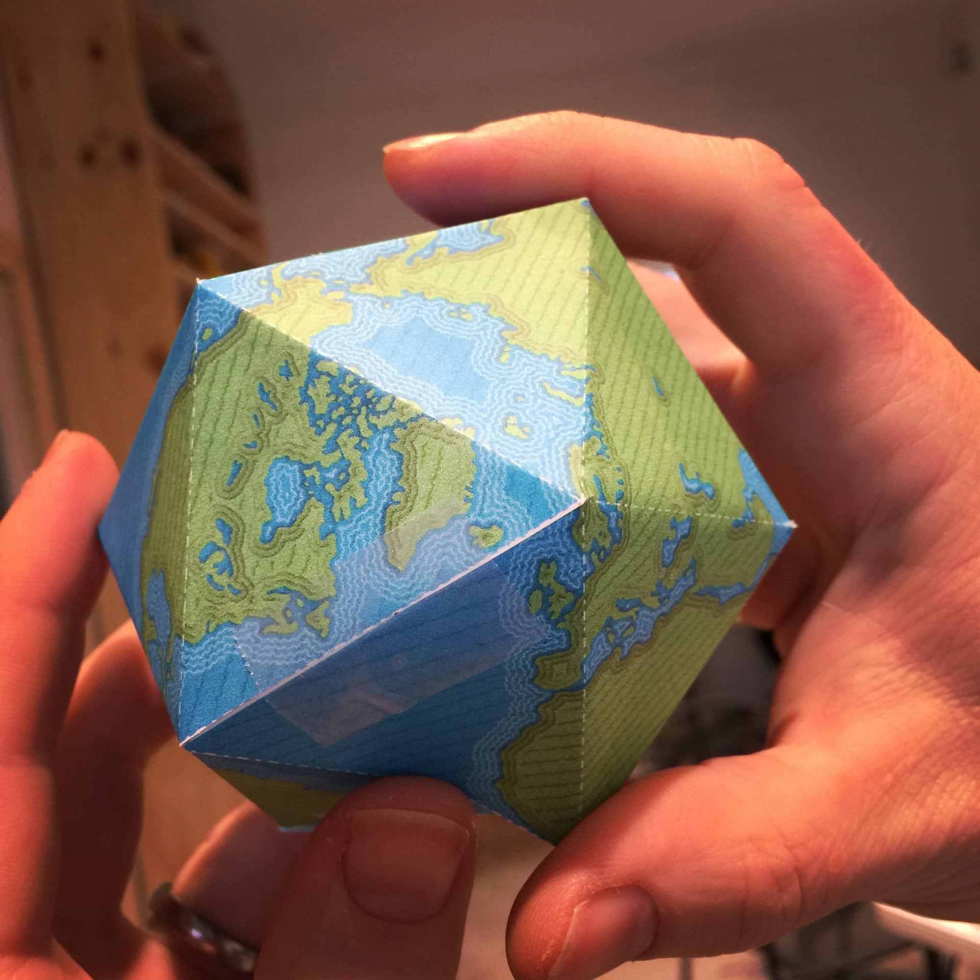
Click any (or all) of the templates below to open up a big (6 or so megabytes) image. You will print them. You will assemble them. You will adorn your world with the wonder of geography.


And that’s it. You can stop reading right here and get down to the business of cutting and taping. Unless, of course, you want to see how the templates were made in ArcGIS Pro…
Let’s do this.
Step 1: Data
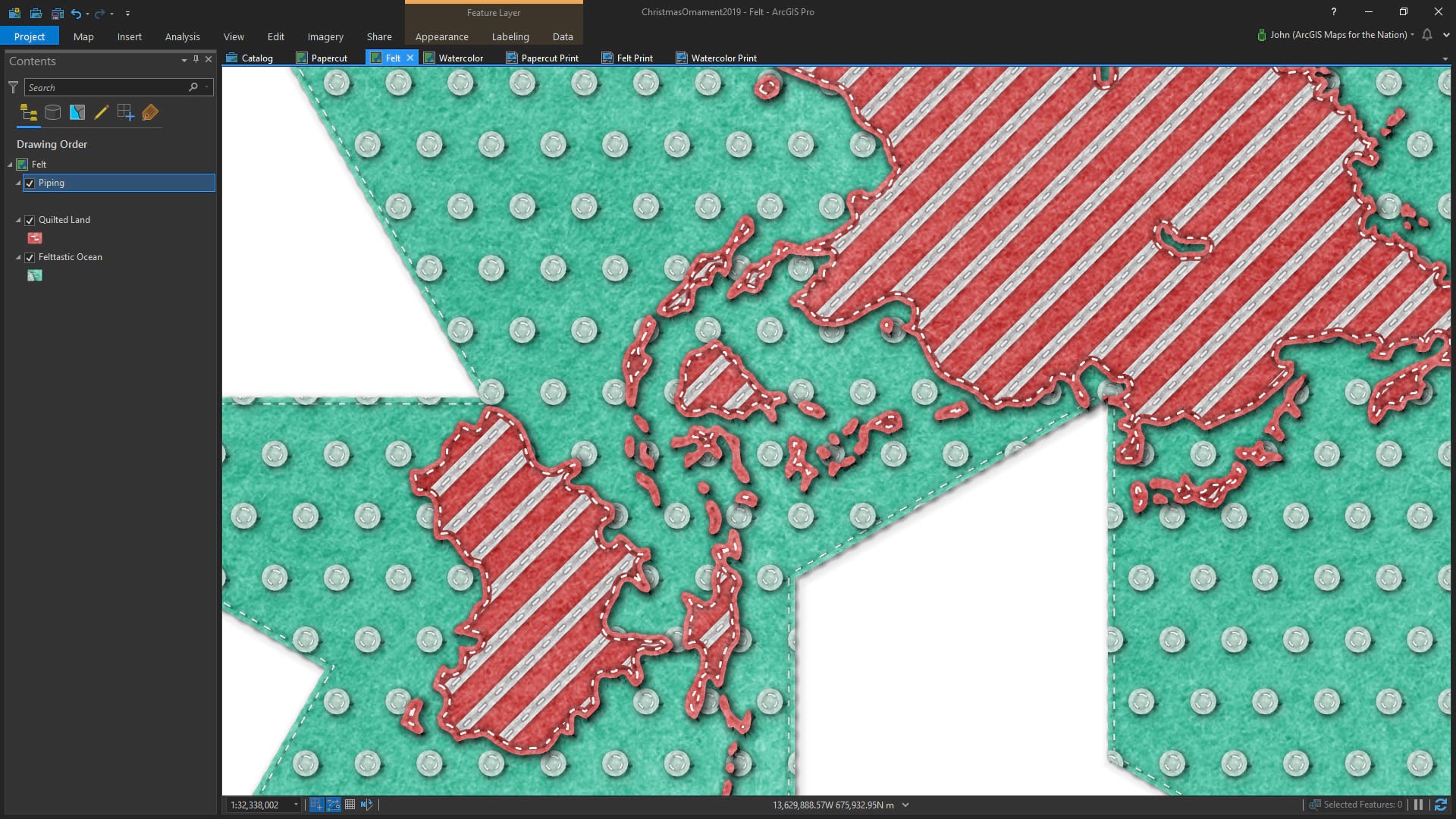
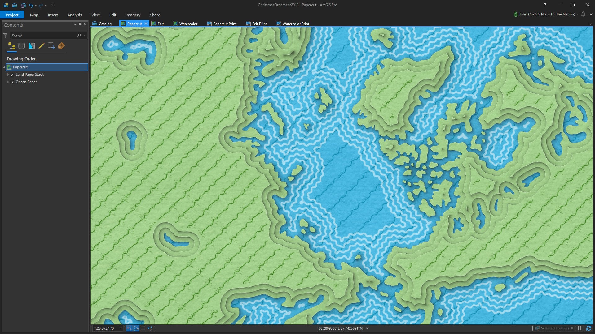
I make frequent and eager use of Dylan Moriarty’s hand-drawn set of world layers at ProjectLinework. And not just for basic cartoonish maps either, they are actually really helpful for very small-scale maps like overviews.
Step 2: Styles
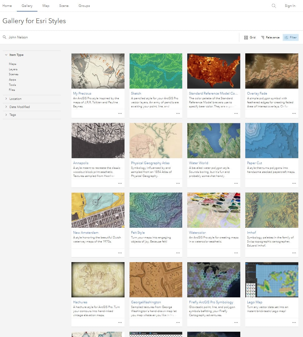
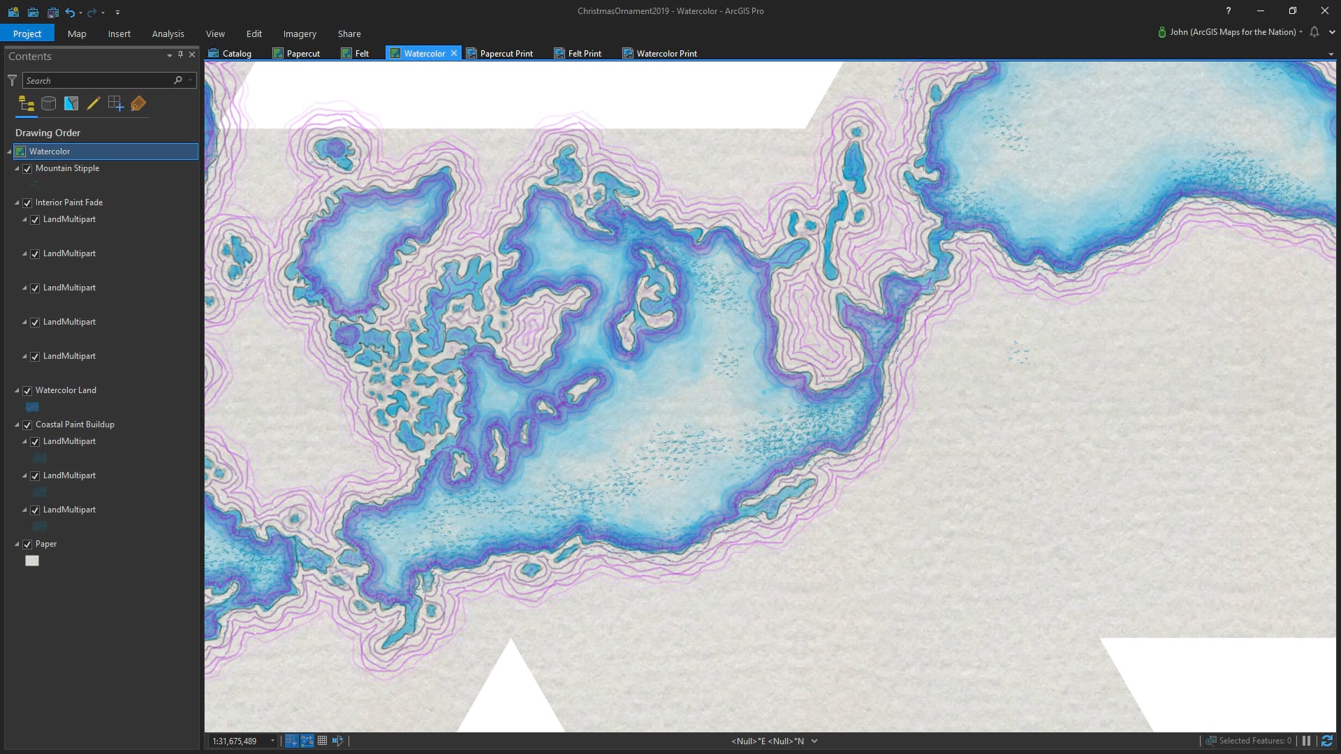
I make and share a lot of styles. For these maps I used a few from this set of styles that’s available for anybody to use for their own mapping adventures.
Step 3: Map-Making
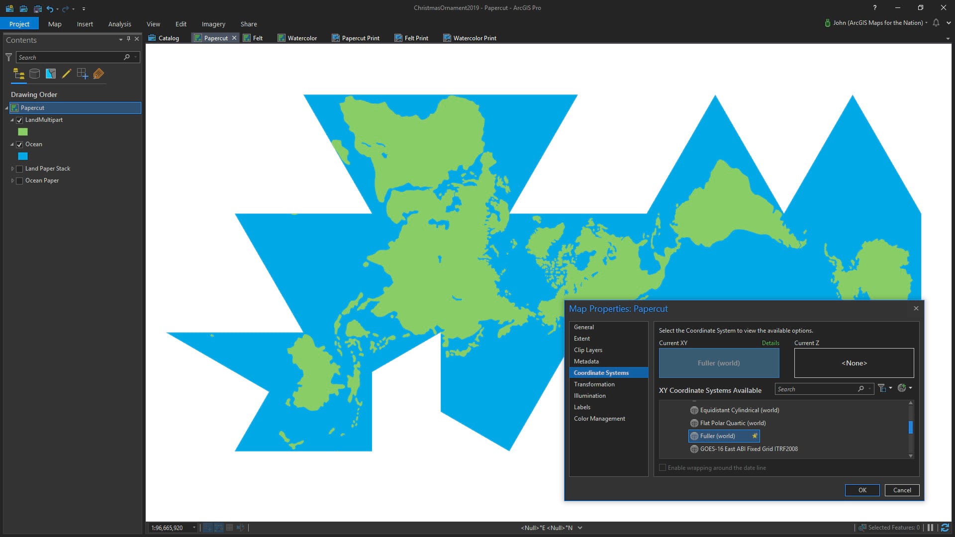
This is the part of the map-making process where, you know, you like, make the maps. I used the Fuller projection. It’s a sweet sweet projection described by the incomparable polymath Buckminster Fuller. He called it a dymaxion world map. He named a lot of his inventions dymaxion. It’s helpful for this project because it is designed to be folded into a globe-like thing.
Step 4: Layout
In the layout, I added a map, then used the insert tools to draw triangular folding references and helpful-hint tabs. If you aren’t using Layouts in ArcGIS Pro, you should, they rule.
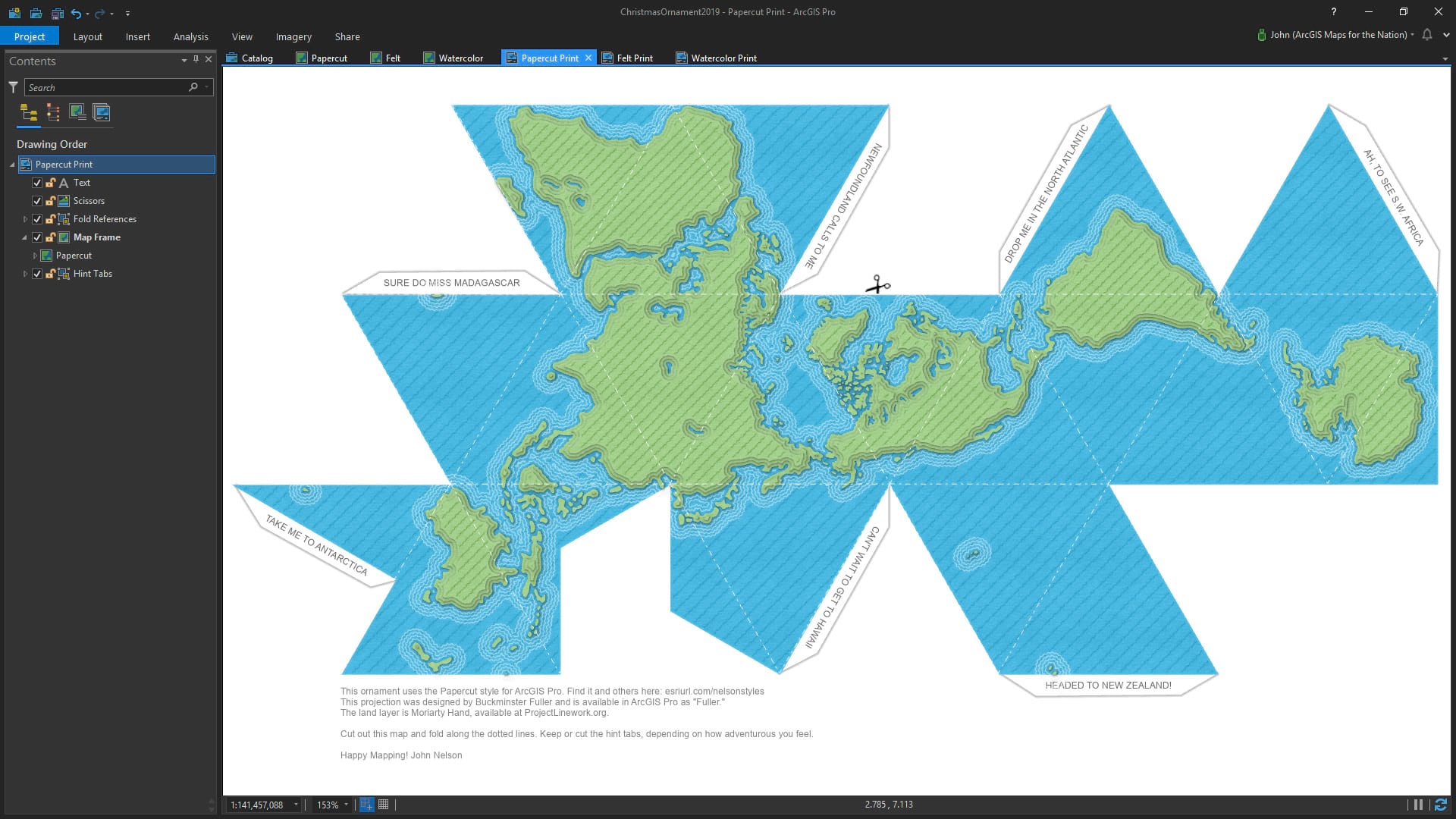
I’ve packaged up this Pro project if you’d like to download it and have a go at making your own ornament styles. Check it out here. It’s a lot of fun and I think you should give yourself the gift of mapping adventure.
Here are those ornament templates, again, if you are ready..
Happy Mapping! John


Commenting is not enabled for this article.