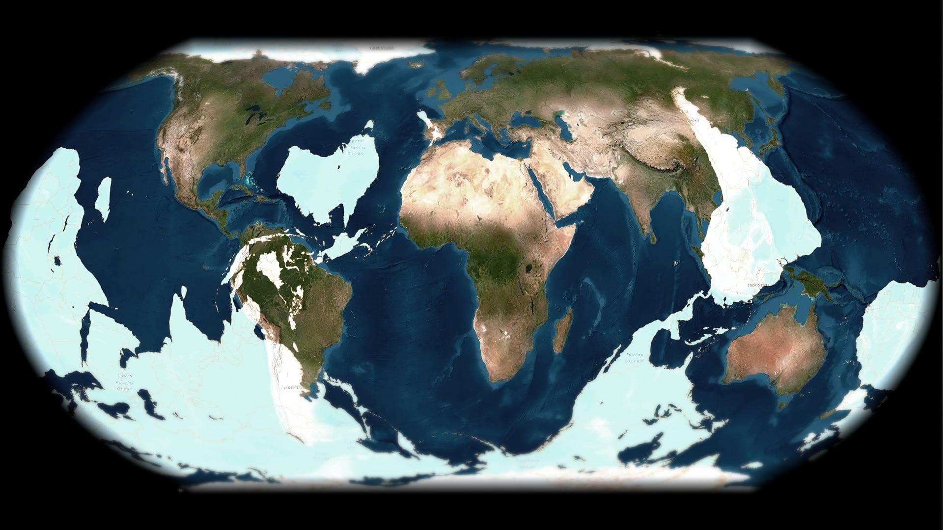
In geography, an antipode is the exact other side of the world from any given location. When I was a kid, we always used to talk about digging a hole so deep that you’d exit in China. But we foolish Michigan kids didn’t realize that if we really dug an antipodian hole straight down, presuming we survived the magnificent heat of Earth’s core, eventually we’d pop out at the bottom of the southern Indian Ocean and drown.

Antipodes can be a fun and engaging teaching mechanism for geography students. It helps us…wrap…our minds around our spherish planet, and it burns some spatial thinking calories. Get ready for some fun conversations in the geography classroom when you break out the antipodes.
This layer is sourced from Natural Earth, and was converted into this antipode version of itself in ArcGIS Pro via this admittedly super-hacky but straightforward process:
Happy Antipoding! John

Article Discussion: