Almost every day I encounter a story produced by an organization or individual that’s really beautiful, important, and valuable.
Of all the stories you’ve read over the years, which one is your favorite and why?

I see a new “favorite” almost every day.
Just yesterday, I read “I Come As a Pilgrim,” Martin Luther King, Jr.’s Journey to Satyagraha by the Martin Luther King, Jr. Research and Education Institute at Stanford University. The story, a part of the Martin Luther King Junior Papers Project, is a magnificent account of King’s journey to learn Gandhi’s principles of nonviolence.
One of my long-time favorites is “Living Territories: Stories of Territorial Justice” by the Amazon Conservation Team. With its beautiful imagery and map choreography, it won the IUCN Indigenous Peoples Governance and Rights Award in the 2023 ArcGIS StoryMaps Competition.

Where do you find inspiration for your own stories?
As an avid reader, I’m addicted to the New York Times online. Their reporting, the commentary, is superb of course, but their graphics and cartography bring stories—even complex and difficult ones—to life.
And of course, I find inspiration within the GIS community.
What authors have had the greatest impact on your writing—and mapping?
I read mostly nonfiction and enjoy the writing of many people.
Dennis Overbye, a veteran New York Times writer, specializes in astronomy and cosmology. His writing is fantastic and a great inspiration for scientific storytelling.
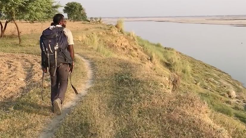
And Paul Salopek, long-time friend and journalist, writes dispatches from his “Out of Eden Walk”—a multi-year trek across the planet, tracing the human diaspora from Africa’s rift valley to the southern tip of the Americas. My team and I have been fortunate enough to support his storytelling journey with ArcGIS StoryMaps and custom mapping (read more).
How has your approach to visual storytelling evolved over the years?
For years, I made maps and told stories with paper and ink. Now, it’s pixels, vectors, and sidecar blocks. Many of the foundational principles from the analog era live on in the digital age, but digital maps can dance and sing in exciting new ways, with continual updating, animations, and 3D fly-throughs.
But the same foundational principles remain.
To learn more, check out the story from my GIS Day 2025 presentation at Stanford University. It touches on how “old” concepts live on in the digital age: “The geographic approach–long before the advent of GIS.”
Do you have any advice for storytellers, particularly in the age of AI?
Do your own writing. Writing is thinking. I come up with so many ideas while I’m writing. AI writing assistants don’t know your personal style and can’t read your mind—yet!
Which stories are the most important to tell in the next five to ten years?
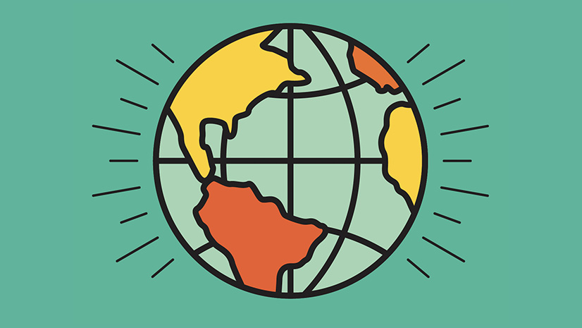
We need more stories that raise awareness about climate change, biodiversity loss, and sustainability—and their urgency. More broadly, and collectively, we need to tell the story of the Earth—our endlessly complex, enthralling, and beautiful home. Visit the ArcGIS StoryMaps collection of team and community stories that appear in “Telling Stories with Maps” to see the impact of geospatial storytelling.

What does your legacy here at Esri mean to you personally?
I’ve been fortunate to serve this wonderful company, its employees, and its customers for 15 years.
What do I hope to have achieved? Here’s the short list—
- Built a product, with an amazing team, that brings place, people, and purpose together
- Enabled people and organizations to improve the world through geospatial storytelling
- Introduced young people to geography and GIS through ArcGIS StoryMaps
- Encouraged innovation and new ways of doing and seeing
What does your next chapter, post Esri, look like?

Great question—I have almost no idea.
Many years ago, I worked as a freelance illustrator. I hope to pick up the pencils and pastels once again.
And I’ll watch birds, of course.
I also hope, one way or another, to maintain some relationship with the world of GIS. To the storytelling community, please reach out on LinkedIn—share your stories and your journeys!
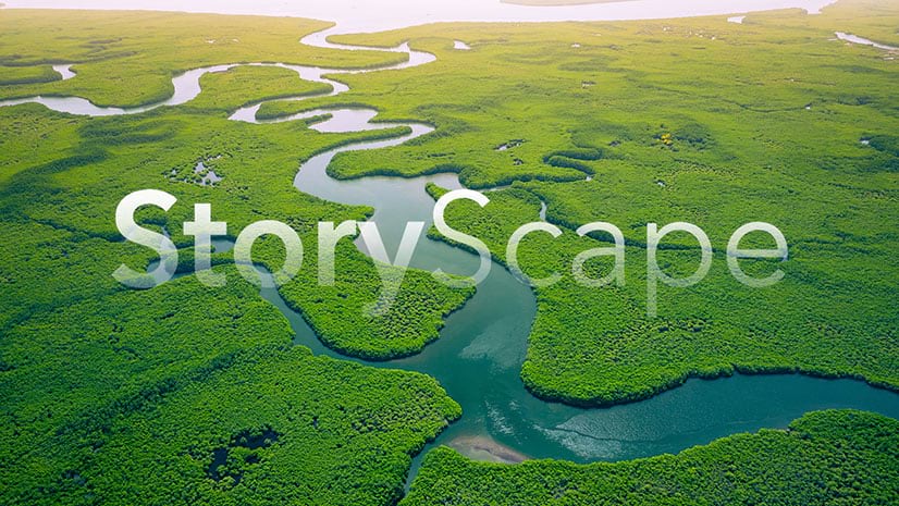
This featured storyteller interview was prepared as a part of the December 2025 | The landscape of geospatial storytelling issue of StoryScape℠.
For more interviews and articles like this one, be sure to check out StoryScape℠, a monthly digital magazine for ArcGIS StoryMaps that explores the world of place-based storytelling—with a new theme every issue.


Commenting is not enabled for this article.