Many know of the American Geophysical Union (AGU) as one of the world’s most well-respected Earth science scholarly organizations. Its annual fall meeting usually dwarfs the Esri UC by well over 10,000 attendees. Last year’s event attracted over 25,000 attendees from more than 100 countries, maintaining its status as the largest Earth and space science meeting in the world. This year’s conference (#AGU23), December 11-15, 2023, will be of similar size over the course of just one week, with presentations in oral and poster sessions, in-person and virtual eLightning sessions, and an in-person exhibitor showcase.
Esri is once again a PREMIUM-level exhibitor with an on-site booth presence (#621 across from NASA) under the theme of ArcGIS: Pioneering Open Science Pathways for a Sustainable Planet. There will be a bevy of rich content and messaging around how the open, flexible, and interoperable ArcGIS analysis ecosystem is streamlining data handling, enhancing spatial analysis for environmental monitoring, and enabling more effective science communication. Demo content will include multidimensional scientific data and analysis, imagery, big data geoanalytics, raster analytics, data publishing and no-code apps, The Living Atlas of the World, ArcGIS Pro, R and Python integration, ArcGIS Notebooks, ArcGIS Hubs for open data platforms, ArcGIS StoryMaps, Learn ArcGIS, MOOCs, World [Terrestrial] Ecosystems (aka Ecological Land Units), Ecological Marine Units, Ecological Coastal Units, the entire web GIS pattern, our commitment to open/interoperable, and more.
Throughout the entire conference, Esri will have booth staff available each day should any AGU attendee have questions, wish to speak with Esri experts, or view a number of live science demos. Free pens, stickers, luggage tags, notebooks, and our famous Globie stress balls will be part of the action too. In addition, a variety of science books from Esri Press will be available for browsing. Esri is also sponsoring water filling stations to help keep single-use items out of landfills and contribute to environmental charities. With the “Fill it Forward” technology, we will participate in tracking the collective environmental impact of #AGU23 attendees and report back on the waste diverted.
See our daily schedule of demos at the Esri Booth (#621).
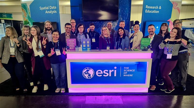
Many thanks to Esri Earth Sciences Solution Director Lorraine Tighe for coordinating the participation of 18 booth staff in this important scientific conference.
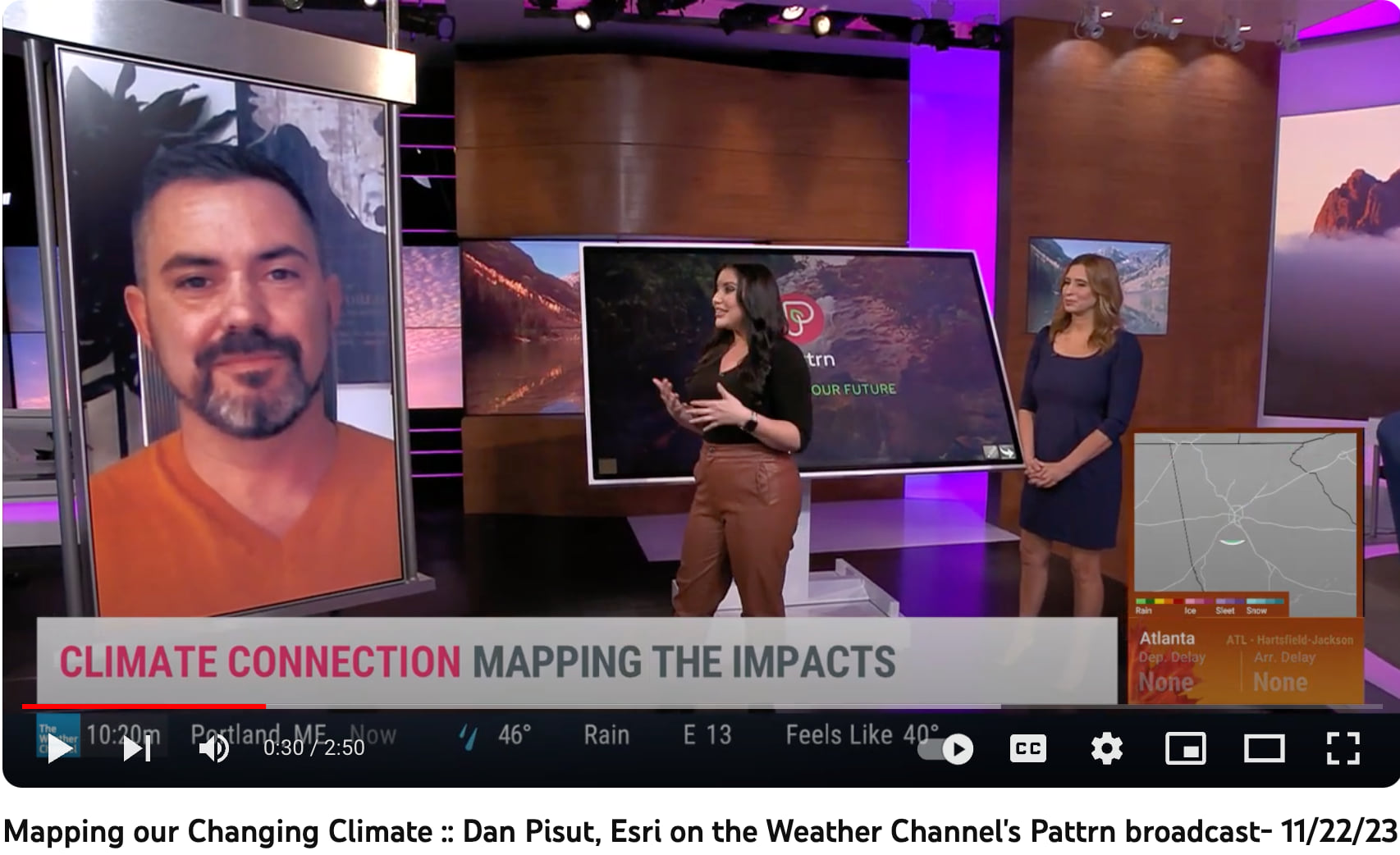
Beyond the booth, Esri will also be represented at several Town Hall meetings, including those on open science and the 5th National Climate Assessment (and with lots of messaging about the new ATLAS of the 5th National Climate Assessment (based on ArcGIS Hub). See Dan Pisut’s discussion of this on a segment of The Weather Channel’s Pattrn.
We are also pleased to share the lineup of presentations that will be made by Esri staff at the 2023 AGU Fall Meeting. You’ll see in the list below of scientific papers, posters, and entire sessions that Esri is leading or contributing on a wide variety of interesting and important projects. Many of these are in collaboration with our federal partners at NASA, NOAA, US Forest Service, Department of Energy, EPA, and the USGS, as well as several universities and national laboratories. This showcases how Esri not only enables great understanding of the world with our products and services, but also performs good science, and contributes well as a member of the scientific community, sharing and inspiring others as to The Science of Where.
AGU PRESENTATIONS and SESSIONS with Esri Co-Authors
(where B = Biogeosciences, GC = Global Environmental Change, IN = Informatics, U = Union; 5-character codes are entire sessions)
B23B-08 Predicting Snow Crab Habitat Across Climate Scenarios Using Maximum Entropy Modelling
GC51N-0825 Using Super-Resolution to Extend the Spatial, Temporal, and Spectral Range of UAS Imagery
IN24B-09 Open Science and ArcGIS: Advancing Collaborative Geospatial Research and Knowledge Sharing
U51A-08 1459182 Commercial company’s software plays a vital role in the open science movement (Invited)
SELECTED AGU PRESENTATIONS or SESSIONS by OUR USERS
(where B= Biogeosciences, GC = Global Environmental Change, H = Hydrology, IN = Informatics, TH = Town Hall, V = Volcanology, Geochemistry and Petrology; 5-character codes are entire sessions)
GC24A-05 Deep Learning Based Time Series Land Use and Land Cover Mapping in Cloud-Prone Areas
GC44E-05 Decoding the inconsistency of six 10- and 30-m cropland maps in China
H41T-2055 Seasonal Variation of Uranium in the Puerco River Basin
IN43B-0620 Visualization of Near Real-Time Global Cloud Composites (GCC): Integration in ArcGIS
V13D-0151 150 years of Etna Summit Craters through a photogrammetry-based time machine
Esri at past American Geophysical Union (AGU) Meetings in 2022 | 2021 | 2020 | 2019 | 2018.

Article Discussion: