Did you know that the cost of sending an object into space has gone down 90% over the last 10 years? And you have most likely heard about drones and how they seem to be everywhere? And what about the cloud? All these advancements are incredible – but what has that got to do with Remote Sensing and why should I even care as an educator/researcher?
Before answering these questions let’s understand what Remote Sensing is – according to Wikipedia: “In current usage, the term remote sensing refers to the use of satellite- or aircraft-based sensor technologies to detect and classify objects on Earth. It includes the surface and the atmosphere and oceans, based on propagated signals (e.g., electromagnetic radiation). It may be split into “active” remote sensing (when a signal is emitted by a satellite or aircraft to the object and its reflection detected by the sensor) and “passive” remote sensing (when the reflection of sunlight is detected by the sensor).” Now that we have a general idea, we can start to realize how these advancements in technology are bringing us into a “golden age” of Remote Sensing.
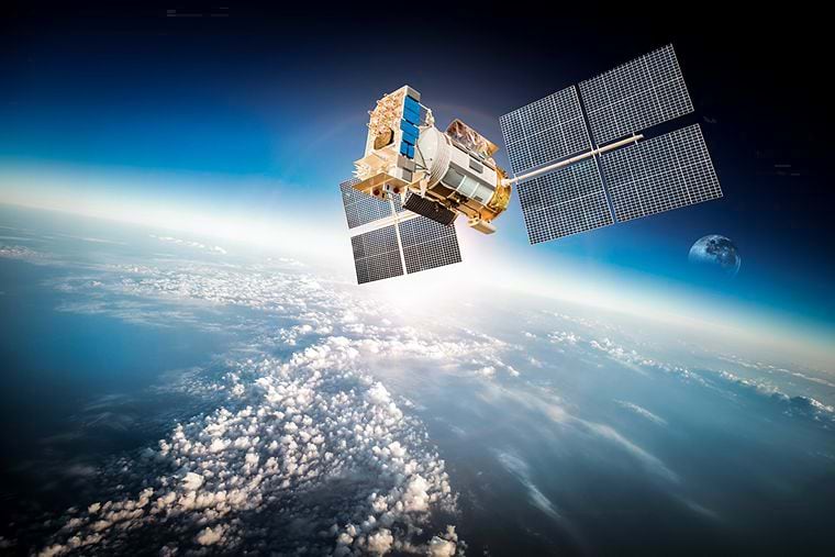
Today, there are thousands of satellites in space and the number is rapidly growing due to the disruptive breakthroughs in space travel and its lowering costs. While some of these are not carrying Remote Sensing technology, this domain has also seen a significant increase in its presence in space due to the same reason. What this means is that more Remote Sensing sensors are now collecting information about Earth. The advances and lowering costs of cloud computing add to this development by enabling more data to be stored and archived and for anyone connected to the internet to access it, analyze it, and share it as actionable information. Cloud computing also gives more people the opportunity to process larger datasets in a timely manner by utilizing powerful hardware at scale. Imagery datasets have always been harder to process due to their size and complexity and this barrier is now being removed. Adding to this influx of data are drones and the sensors they usually carry on them. These small flying machines have exploded in popularity while their costs have decreased rapidly and can now be legally flown in most areas with increasing safety. Drones can cover small areas faster and at a smaller cost compared to satellite or manned aerial imagery and can deliver extremely high resolution to their low flying altitudes.
But how do these developments relate to educators or researchers?
More available imagery data
First, the rapid increase of imagery data sources has increased the need for people with knowledge on how to process this data and convert it into meaningful information. While the topics of Remote Sensing from satellites and Photogrammetry from manned aerial images have been taught in a select number of academic institutions, the demand from the industry is vastly outpacing the number of students attending these courses. This means that companies need to train people on the job which could easily lead to less qualified employees who may know how to process the data but may not have the full understanding of the information that can be derived from it. Educators should introduce imagery and remotely sensed data workflows into more campuses to help bridge the gap and ensure that their students can compete and fill the gap that employers are looking for. Esri has a library of Learn Lessons that Educators can adopt into their classes for a wide range of topics in Imagery and that make use of Esri technology and which they already have access to as part of the Institutional Agreements. These lessons can be used as entire lesson plans or as complementary material for an existing syllabus.

Easy to use processing tools
Second, the use of readily available satellite imagery and easy to use processing tools that come out of the box with Esri’s ArcGIS Pro and its Image Analyst extension gives researchers the data and tools they need to answer many more pressing questions and contribute to solving some of the world’s largest issues such as climate and global warming. To speed up the analysis of large imagery datasets, Esri offers multiple Deep Learning models that can be used or refined to extract information quicker, and it also provides tools to train brand new models for those use cases that are not already covered. As always, these tools can be further customized using Python for more complex research work that cannot be completed by the ArcGIS Pro.
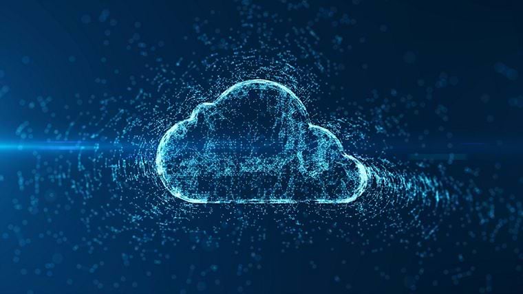
Image archives are available in the cloud
Third, open imagery resources have been archived on cloud servers by Amazon and Microsoft and are accessible via a programmatic API or through a cloud connection from ArcGIS Pro. To reduce the complexity of accessing these resources and leverage the power of cloud computing, Microsoft and Esri have teamed up to create the ArcGIS for Microsoft Planetary Computer. This is designed for researchers that have access to a Microsoft Azure account and includes a Virtual Machine in the same region as the open imagery repositories and it has ArcGIS Pro installed, configured to access the imagery datasets via a STAC (Spatiotemporal Asset Catalog) connection and to run Deep Learning models or other image analysis tasks. Researchers can take advantage of this new offering which can simplify the work currently being done by their IT (Information Technology) departments, speed up the processing of large image analysis tasks and free up their local workstation for other research work.

Answer more questions
Finally, as imagery sources become cheaper to acquire, different industries are finding that they can now start to answer questions they could not in the past. To help them answer these questions, researchers and teachers need to know how to process these imagery sources and how to incorporate them into a GIS to derive meaningful results that can be easily understood by decision makers in non-technical terms.
A few examples include:
- Clients that have commissioned construction projects can now monitor their progress without relying on reports coming out of the contractor.
- Environmental agencies can monitor pollution more easily and can research its effects on the population.
- Coastal communities can monitor coastal erosion and work on plans to mitigate its effect on private and public assets.
The advancements in space travel and decreasing costs have led to a significant increase in the number of satellites, including those equipped with Remote Sensing technology. As a result, there is now a larger collection of Earth information through these sensors. Cloud computing has played a crucial role in facilitating the storage, analysis, and sharing of this data, making it accessible to anyone connected to the internet. Drones have also gained popularity as a cost-effective option for data collection, providing high-resolution imagery. These advancements have important implications for educators and researchers. There is a growing demand for individuals skilled in processing imagery data, and educators should consider introducing Remote Sensing courses to meet the industry demand. Researchers can take advantage of readily available satellite imagery and powerful software tools to address pressing global issues. Deep Learning models and customization options are also available for more advanced research work. Open imagery resources hosted on cloud servers provide researchers with simplified access and processing capabilities. As imagery sources become more affordable, a wide range of industries can now utilize this data to answer questions and make informed decisions. Researchers and teaching staff should embrace the rise of imagery data by utilizing different Esri imagery technology products and offerings that are provided to them by their academic institution. By integrating imagery with GIS analysis and using the different dissemination options that Esri provides (web maps, web apps, dashboards) this vital data can reach decision makers quicker and help make them better informed.

Article Discussion: