Point of Interest (POI) data plays a crucial role in shaping our interactions with the spaces around us. Without access to up-to-date information about nearby places such as a popular sushi restaurant or organic grocery store, navigating and discovering new locations becomes challenging. By integrating the most relevant POI data into mapping applications, developers can offer users valuable location-based context.
ArcGIS Places offers developers flexible access to a vast and diverse dataset of richly-attributed point of interest (POI) data. In addition to providing reliable data that describes places around the world, Esri is elevating the developer experience by offering exciting features like localized category support and professionally designed map icons through the ArcGIS Places service. With over 1,200 categories and descriptions of more than 46 million features across various environments worldwide, developers can leverage this resource to enhance the functionality and value of their applications.
Here’s a look at what’s new with the latest release of ArcGIS Places…

Fresh and Updated Data for Developers
Developers will now have the chance to leverage Esri’s enhanced Foursquare-based places data, which offers detailed information about global locations. This data update is based on the latest supplier data from December 2023, encompassing new and updated records across various countries and territories worldwide.
There will be about 100,000 additional records for both the United Kingdom and China, as well as over 1,000,000 additional records for Japan. This brings the total number of records to well over 46 million, covering more than 170 countries and territories. Furthermore, developers will automatically gain access to up-to-date places information without needing to make any changes.
Localized Categories
The March 2024 release of the ArcGIS Places Service introduces an exciting new feature for developers: the ability to utilize localized categories in their search criteria. Supported languages in this initial release include English, French, Japanese, German, Spanish, and Brazilian Portuguese.
These localized categories act as a language bridge, enabling developers to create applications and cater to users regardless of their spoken language or specific areas of interest.

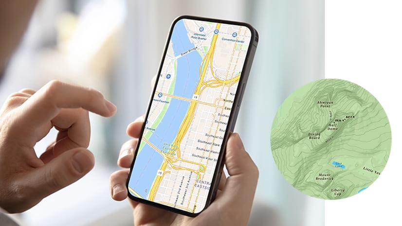
Stylish Map Icons
Developers now have access to an extensive collection of top-quality icons in svg, png, and CIMSymbol formats through the ArcGIS Places service. These icons are meticulously designed and mapped to the hierarchical category system of the Places service.
Developers can use the icons to put pins on a map or build a legend. By utilizing these icons, they can save time and enhance their applications, benefitting from the expertise of Esri’s graphic designers and engineers. This valuable resource elevates the visual appeal and user experience of applications or solutions.

By incorporating detailed and accurate location information, developers can provide users with comprehensive insights and a seamless user experience. We are excited to see how the new localized categories and places icon will be seamlessly integrated into your apps, enhancing the user experience with comprehensive insights.
For more information on these updates, please explore the documentation pages below:
Places Data:
https://doc.arcgis.com/en/esri-demographics/latest/reference/foursquare.htm
Localized Categories:
https://developers.arcgis.com/rest/places/categories-get/#language
Place Icons:
https://developers.arcgis.com/documentation/mapping-apis-and-services/places/place-icons/


Article Discussion: