In the Living Atlas, there are over 90 maps detailing demographic, socioeconomic, and behavioral topics in the United States. These maps provide a current snapshot-in-time across the country, from the State level to the neighborhood (Block Group) level. As new data and maps are released, older data and maps are removed from the Living Atlas and eventually retired. This year, we are retiring the 2013 and 2014 U.S. Demographic maps.
Each year Esri demographers work tirelessly to incorporate new and updated sources and improvements to methodologies, to produce the annual updated data that go into these maps. Because of these improvements, we want to make sure you are always working with the latest available data from Esri.
Recently, we implemented a few ways to help make you aware of the latest data:
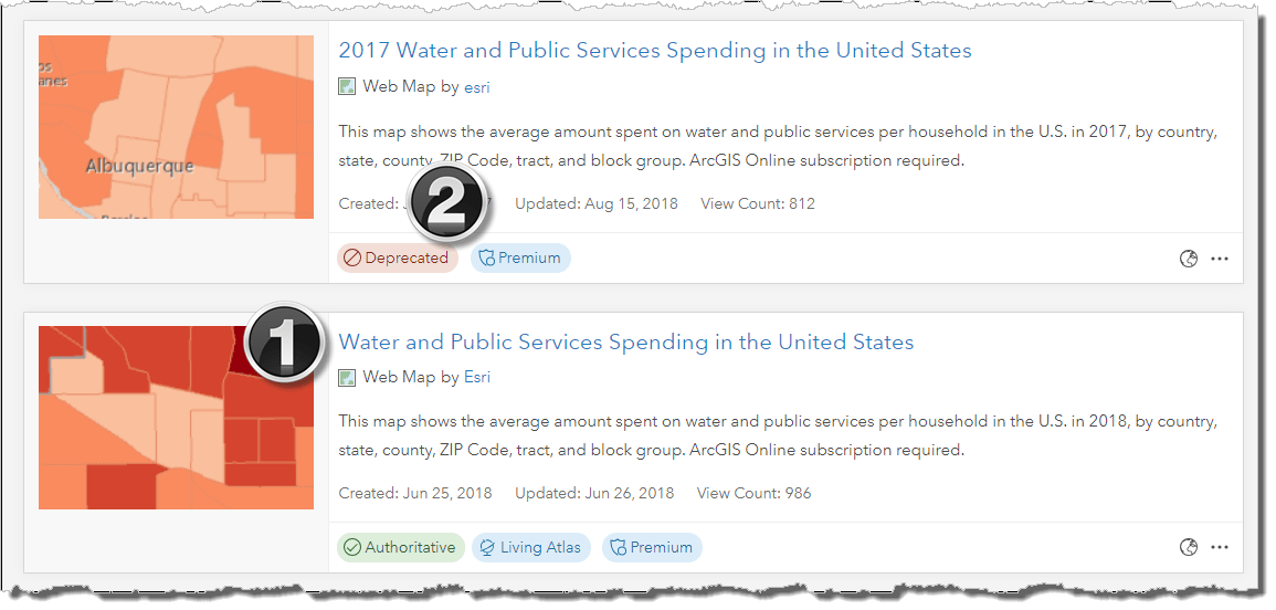
1. Starting with the June 2018 release, all U.S. demographic web maps adopted a naming policy without the year in the title. This means in future years, the web map name and item will remain the same, and the underlying map image layer will be updated as new layers are made available. Users will just get the new data… no effort required!
2. Mature Support items are no longer included in the Living Atlas and have been marked as Deprecated.
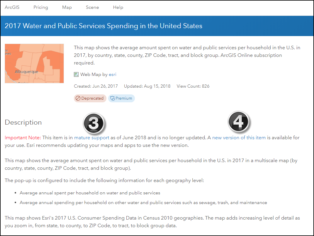
3. We added an Important Note to the description of each item moving into mature support.
4. We added a link to the latest available, comparable item (where available).
Esri will be retiring the 2013 and 2014 United States demographic map services and their associated items on December 31, 2018. If you have maps or apps that connect to these map services or items, you should update them as soon as possible. View this crosswalk to get the latest available, comparable replacement for map items that are retiring.
To keep up-to-date with the status of web maps and map image layers from Esri, bookmark the Esri Content Life Cycle Support Status page. Demographic Maps Item Status indicates the status of the demographic web maps and map image layers.

Commenting is not enabled for this article.