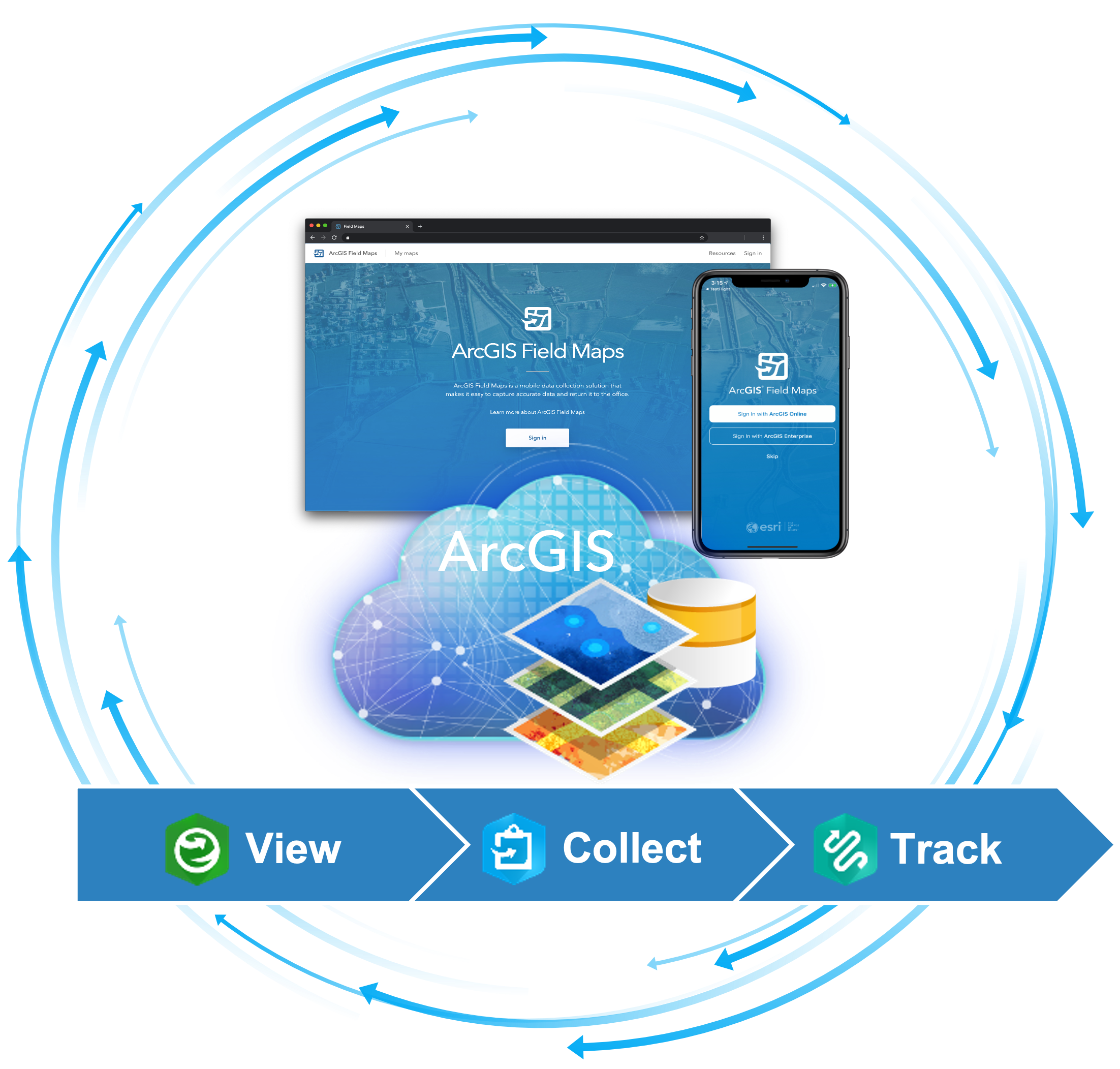
ArcGIS Field Maps is a mobile app solution that allows you to streamline field workflows and take maps anywhere.
Field Maps is a robust solution for exploring maps, collecting and updating your authoritative data, and recording where you’ve gone, all within a single location-aware app.

With the September release, we focused our development efforts on quality improvements and preparing for significant new capabilities that will be released in December and early in 2022.
Field Maps mobile apps
With the September release of the Field Maps mobile app (iOS and Android) we:
- Bumped the iOS and Android apps to the 100.12 release of the ArcGIS Runtime SDKs
- Certified iOS 15
- Squashed many bugs
We’ve been working on a secret project to supercharge the Field Maps app on the Android platform as well. Most changes are internal, but with the December update we’ll include support for Dark theme, a new measure experience, recent feature templates, app link improvements, a new layer loading experience, and much more. Look for a beta announcement in our Early Access Program later this fall so you can take this new app for a test drive.
Field Maps web app
We focused our web development on quality improvements. This includes updates to the Field Maps, Workforce and Track Viewer web apps. In August we launched a new early adopter program for the first of two new capabilities coming in December.
Creating new form elements
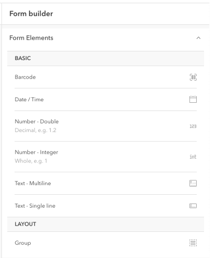
Using the Field Maps web app, you can configure the form used for data entry in the mobile app. Form elements can be formatted for existing fields in your web feature layer.
Now, you can create new form elements from scratch and Field Maps will create new fields for you. Basic form elements (text, numeric, date/time, and barcode) are currently available with more advanced form elements coming soon.

Expression builder
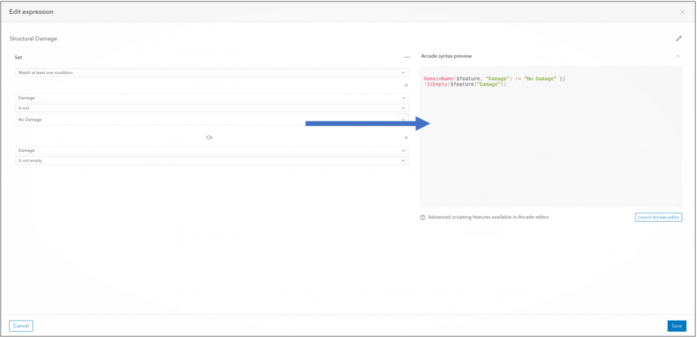
If you have fields or groups that only need to appear if a previous entry has a certain value, you can apply a conditional visibility statement to those fields or groups using the Arcade editor. If you are new to the Arcade expression language, this can be challenging.
We’re introducing a new “plain language” interface for building conditional visibility statements for fields and groups, you can build simple to moderately complex forms fast, without the need to debug Arcade syntax errors. If you prefer to create your own expressions using Arcade, you can use the new Arcade editor in Field Maps for direct editing as well..

The new expression builder will be available for early access testing later this fall.
App deprecations
ArcGIS Field Maps includes the capabilities of ArcGIS Collector, ArcGIS Explorer or ArcGIS Tracker apps on the iOS or Android platforms. In November of 2020, we announced deprecation of these apps at the end of 2021. Once deprecated, we will no longer provide app updates or answer technical support inquiries. However, the apps will remain in the Apple App Store and Google Play indefinitely. Deprecation does not apply to Collector and Explorer on the Windows platform – these applications will continue to be supported.
The ArcGIS Field Maps Migration Guide is an excellent resource for planning your transition to Field Maps.
What’s next
We have an aggressive road map for new development with ArcGIS Field Maps that includes major enhancements to the smart form capabilities (form calculations, contingent values, more input types, signatures, more), integration of ArcGIS Workforce capabilities, viewing, editing and tracing of Utility Networks, Indoor positioning, linear referencing support, and much more. Please share your feedback and priorities for future development in the ArcGIS Field Maps community.

Article Discussion: