Insights for ArcGIS is a new web-based application that helps you integrate spatial intelligence with your organization’s data. Whether it is looking at adoption of rebate programs or analyzing your main breaks, insights allows you to answer questions quickly and present those answers in a clear and concise manner. In this blog, we will be focusing on changing your thinking on how you look at and explore your data. This will allow you to discover patterns and trends in your own data in ways that were not easily possible before.
Discover Your Data Through Exploration
Insights enables a new facet of analysis to GIS, known as data exploration. Traditionally, GIS analysis followed a model of ‘input some data, output a result.’ The trouble is, that model doesn’t always scale to big datasets containing millions or even billions of records. It is becoming more common for organizations to have so much data that they don’t know what patterns might lie within. In other words, there may be a lot of steps between your data and the answers you seek, and Insights for ArcGIS is the tool that can help reveal the questions you should ask to get there. Because data exploration is a new concept for many GIS professionals, there are some considerations to be aware of when getting started:
Get your data ducks in a row
- You can use lots of data formats with insights, but it is best to tailor the data to what you want to do and how long you need to keep the analysis.
- Excel spreadsheets are great for quick analyses.
- Feature Services and tables from relational database management systems (RDBMS) are better for longer running projects.
- Insights performs fantastic with large many to one relationships, so having unique keys is a must.
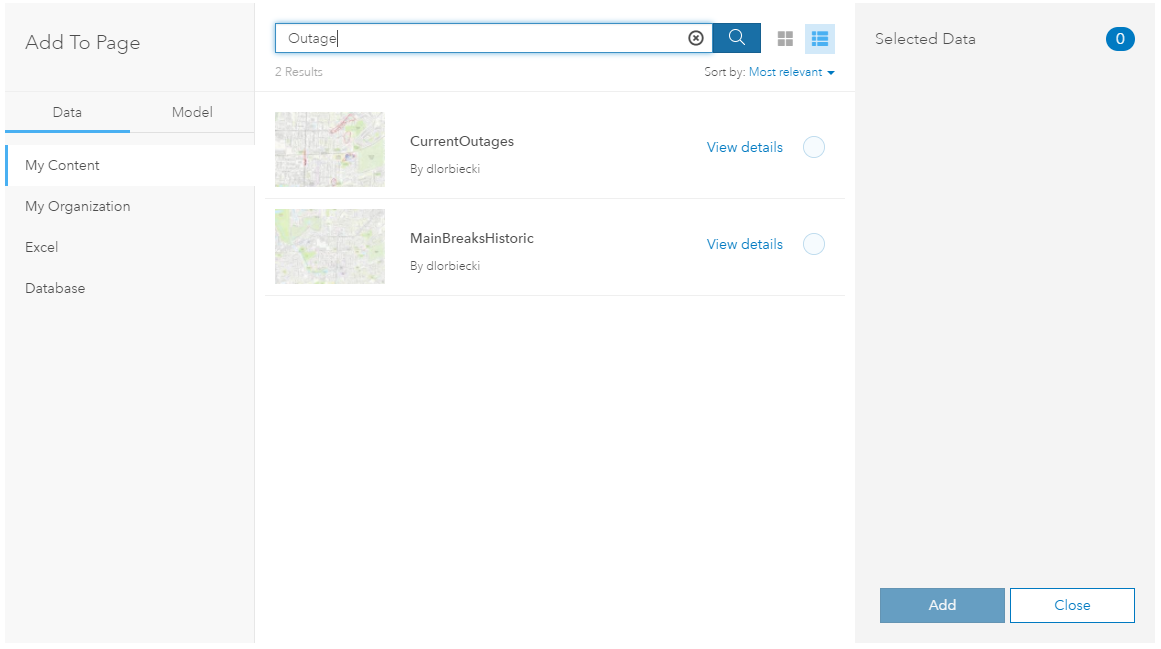
- Be familiar with where data resides in your organization. You can use many different data sources (Feature Classes, SQL Tables, Excel, FGDB tables), so be prepared to grab data from where where it resides.
Depart from traditional GIS analysis rules and habits
- Insights is not bound by the data size restrictions of traditional desktop GIS. Load everything up and see what you can find! Really. Everything.
- Burn down the haystack. With Insights, you actually want to map, chart, and overlay giant datasets, so you can see what patterns emerge. If you filter down first, some of those patterns might not become visible. Start broad and then narrow it all down.
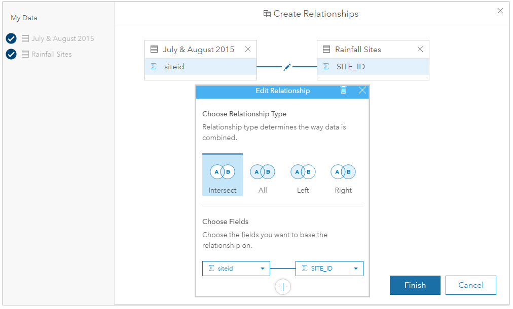
- Blend spatial and non-spatial data on the fly. Leverage Insights’ Relationship View to quickly build relationships as you explore your data. There’s no need to exit out and build joins, relates, or database views using other tools. Insights gives you the ability to create those relationships from within.
Experiment, stumble, fall, and learn in the process
- The best way to learn what you can do with Insights is to experiment and make mistakes.
- Everything you do is recorded in the Analysis View, so don’t worry about how you got there. You’ll be able to follow the trail back.
- Start out large and simple and move to small and complex. As you discover functionality you will discover new methods of analysis.
- Don’t forget the Action Button on each of your map cards. Use the analysis tools that exist within Insights to help you explore your data.
- Connect to outside data using enrichment. All the rich content of the Living Atlas is at your fingertips to use in analysis.
With these guidelines, you can start to discover trends and patterns using Insights for ArcGIS that may have been difficult or onerous to uncover using traditional GIS methods. Through the power of tying your non-spatial data to your spatial data, you can begin to answer questions based off of data coming from multiple sources and business systems. Check out the story maps here to see what other water utilities are doing with Insights for ArcGIS.
In our next Insights for Water Utilities blog we will be taking the guidelines we covered in this blog and using them to apply powerful analysis to data. You’ll see how to answer business questions that can help you run your organization more efficiently and effectively.
For help getting started, see Esri’s Getting Started with Insights for ArcGIS training class.

Article Discussion: