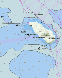
Esri is committed to developing new technologies and ways to utilize the ArcGIS platform that expands its support of the maritime operations. One of our emerging technologies, the Maritime Chart Server, has been generating a lot of buzz and excitement in the maritime community. 
The Maritime Chart Server is an ArcGIS for Server Object Extension that displays vector nautical charts as a query-able GeoServices REST services or OGC Web Map Services. The Maritime Chart Server supports dynamic querying on the rich data contained within ENCs in order to assist with planning and maritime domain awareness operations. With Maritime Chart Server, users can publish services that display S-57 products such as AML, ENC, and IENC based on their respective S-52 presentation library implementations. The services can be accessed through either an on-premise or public website. Since the data can be queried, applications can be built that allow for analytical capabilities such as search, location calculation, performing measurements of distance and area, and feature identification and attribute display. In addition, the technology includes S-63 decryption capabilities to produce and serve read-only caches of encrypted ENC datasets.
The Maritime Team is thrilled that the Maritime Chart Server is powering NOAA’s website. For more information on the Maritime Chart Server, please contact Maritime@esri.com.
Commenting is not enabled for this article.