Take advantage of new imagery and remote sensing capabilities in the ArcGIS Image Analyst extension for ArcGIS Pro 2.4 to improve your image visualization, exploitation, and analysis workflows.
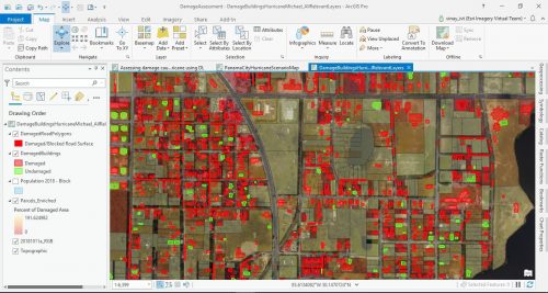
ArcGIS Image Analyst now features expanded deep learning capabilities, enhanced motion video capabilities, support for multidimensional data, a new Pixel Editor, and more.
Learn about just some of the imagery and remote sensing-related features added in this release.
ANALYSIS
DEEP LEARNING
We continue to expand our Deep Learning toolset to provide you with robust analysis capabilities, so you can do more with remotely sensed data. Key features introduced in this release include:
-
- The ability to run deep learning at scale by using ArcGIS Pro 2.4 to create and share a deep learning package (DLPK) to ArcGIS Enterprise
- Built-in support is added for the PyTorch deep learning model inference
- Enhancements to the Export Training Data tool, including:
– Data augmentation methods (Rotate & Shift)
– Enhanced metadata formats (Labeled Tiles) for writing out image chips
– The option to accept a collection of images as input (Folder)
– The ability to accept input masks to limit the area to process

Raster Functions and Geoprocessing
The list of raster functions accessible in ArcGIS Pro is extended in 2.4 with additional indices and distance and hydro functions, enabling analysts to design and run targeted workflows for distance modeling and hydrological modeling.
Several new global raster functions are available, and enhancements have been made to many others:
• The Focal Statistics function has been enhanced to support parameters similar to those available with GP tools.
• Most raster functions are enhanced to support analysis of multidimensional datasets.
• New geoprocessing tools were added to process multidimensional data:
– Tool to aggregate multidimensional raster data along a dimension.
– Tool to Compute the anomaly for each slice in a multidimensional raster to generate a multidimensional dataset
VISUALIZATION
Motion Imagery
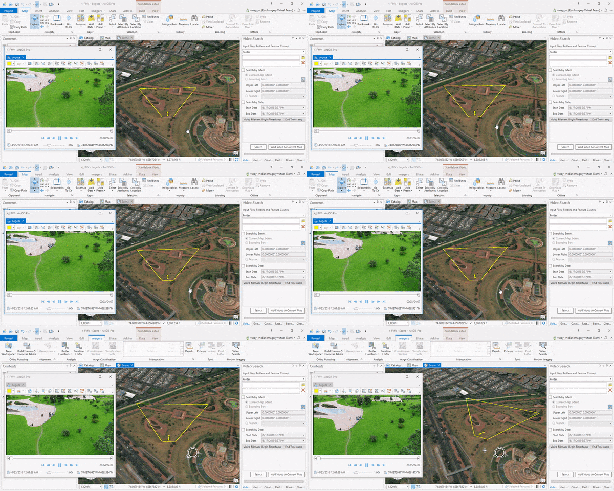
We continue to improve and enhance our motion video support, so you can manage and interactively use video with embedded geospatial metadata. Key features in this release include:
- A new video search tool lets you search large video collections based on a geographic location.
- The ability to perform 2D measurements of distance and area in the video window.
- The option to use “image chipping” to select a region of interest in a video frame and copy it for focused reporting.
- The ability to read and display Video Moving Target Indicator (VMTI) metadata embedded within the video stream.

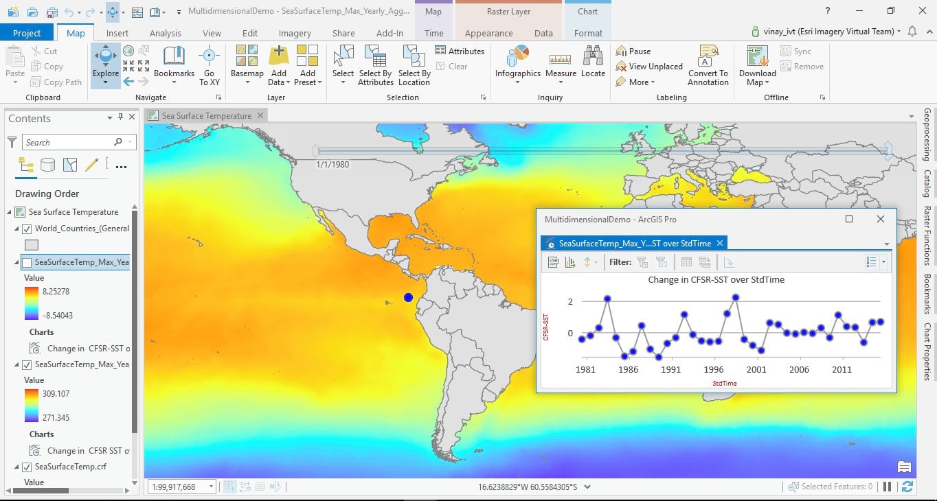
Multidimensional Raster Management, Processing and Analysis (New to ArcGIS Pro 2.4)
Work with multidimensional datasets using a new set of tools and capabilities that have been added in this release. These tools allow you to aggregate your data over time and calculate anomalies across multiple variables and dimensions. Key features include:
-
- Data management tools:
– Generate multidimensional metadata and make a mosaic dataset multidimensional aware
– Restructure and optimize the multidimensional data structure, making cross-dimensional analysis more efficient
-
- Analysis tools:
– Aggregate multidimensional dataset variables along a dimension (can be time)
Calculate anomalies for each slice in a multidimensional raster
-
- Existing raster functions enhanced to support multidimensional rasters, including:
– All local raster functions (more than 100 functions)
– Classify, Clip, Contour, Extract Band, Mask, Reproject, Resample, Unit Conversion, Vector Field, and Weighted Sum
-
- Support for managing and processing multidimensional data in the Python environment, including:
– Extended raster object capabilities
– A new set of functions in the ArcGIS Image Analyst and ArcGIS Spatial Analyst Python modules

Editing
Pixel Editor (New to ArcGIS Pro 2.4)
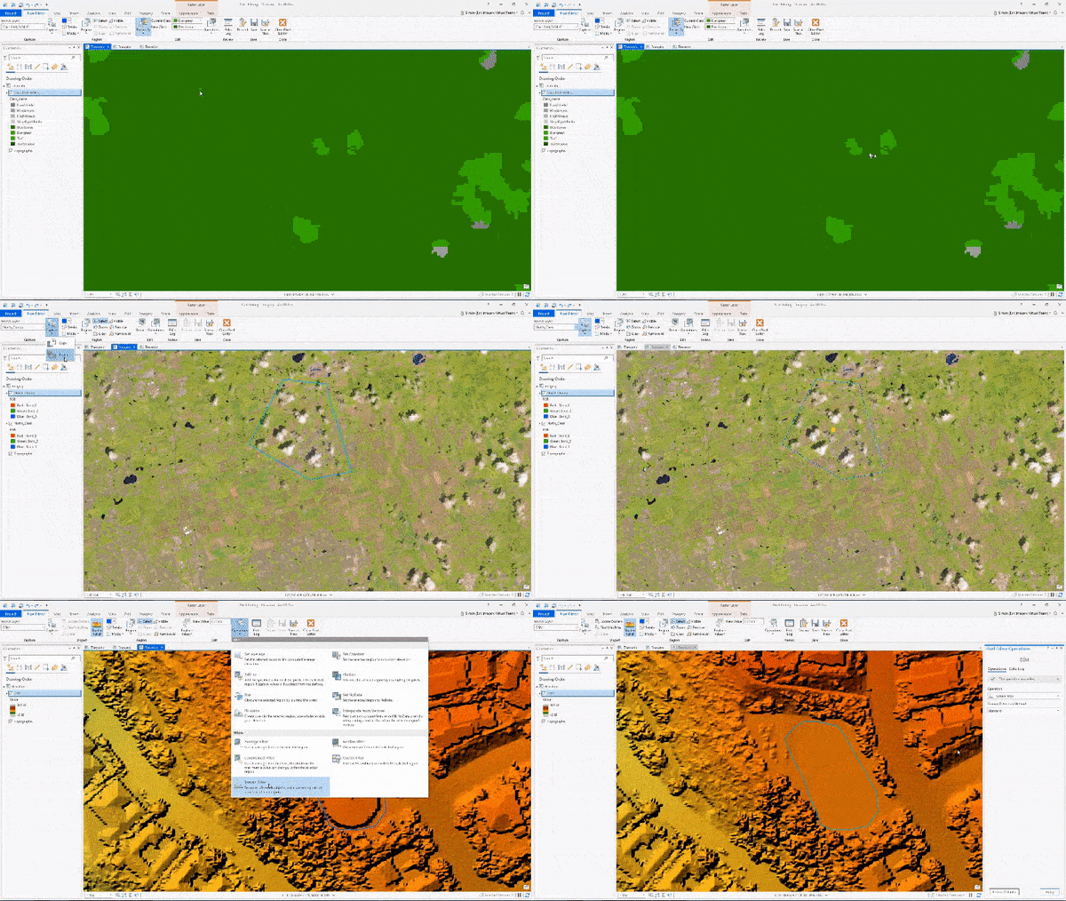
You have been asking for the ability to edit pixels. We have listened! The Pixel Editor provides a suite of tools to interactively manipulate pixel values of raster and imagery data. Use the toolset for redaction, noise removal, or to reclassify categorical data. You can edit an individual pixel or a group of pixels at once. Apply editing operations to pixels in elevation datasets and multispectral imagery.
Key features of the Pixel Editor include:
- Editing pixels in multispectral, single-band, thematic, and elevation data
- Editing elevation data to fill voids, remove spikes and holes, correct elevation breaklines, and offsets, or specific values
- Reclassifying pixels, regions, or objects
- Reclassifying pixels using feature data
- Removing noise and outlier pixels
- Using preset filters to smooth areas
- Obscuring or redacting confidential pixels

Additional resources
Learn more about the ArcGIS Image Analyst extension for ArcGIS Pro and how to get it – click here
See what’s new in ArcGIS Pro 2.4
Learn how to use ArcGIS Image Analyst, including hands-on tutorials
Check out help documentation for ArcGIS Image Analyst

Commenting is not enabled for this article.