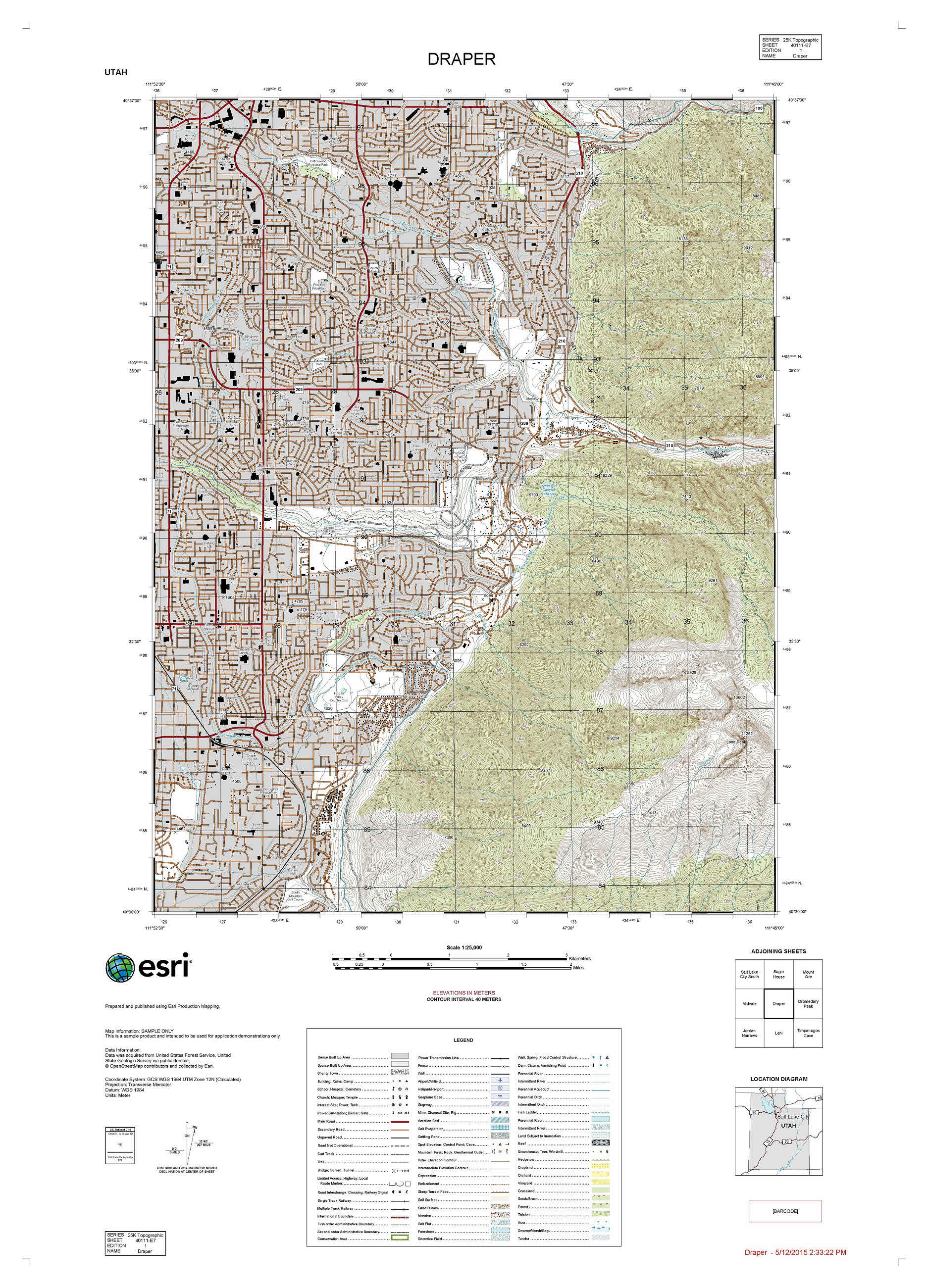
The Civilian Topographic Map (CTM) is designed to allow you to easily create civilian style 25K topographic data and maps using Esri Production Mapping. The first release of CTM includes a geodatabase data model as well as sample configurations for editing, quality assurance, and cartography for creating 1:25000 scale civilian style topographic maps.
You can adopt the CTM data model holistically and implement all configuration rules rapidly, easily, and repeatedly or you can use these files as a sample to implement this type of configuration with a different data model. The CTM configuration provided can also be configured as a sample map product for Product on Demand (POD). For more information on POD see the following POD GitHub Repro: https://github.com/Esri/product-on-demand/releases.
CTM can be accessed on GitHub: https://github.com/Esri/CTM/releases
Requirements:
- ArcGIS for Desktop 10.3
- Esri Production Mapping 10.3
Article Discussion: