ArcGIS for Maritime: Bathymetry 10.3 is full of new and exciting features, such as the new support for point feature classes! Here’s a quick list of some of the highlights:
- Custom spatial reference: Users can specify which spatial reference they want to work in when creating their BIS.
- Skipping steps: Through the Manage BIS Settings Dialog, users can now disable certain steps of the Add Bathymetry Process to speed up their day-to-day work. This is particularly useful for users with a large amount of datasets registered in their BIS.
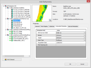
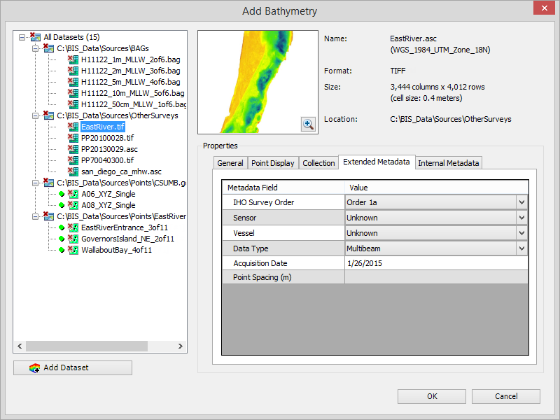
- New Add Bathymetry dialog: The Add Bathymetry Dialog window has had a major update! The interface has undergone an extensive upgrade, making it even more intuitive to large amounts of load bathymetric data and metadata. Alongside the familiar collection, extended and internal metadata fields, a new field has also been added to accommodate the BIS’s support of point feature classes.
- Removing datasets from the BIS: There is a new feature that allows users to remove a dataset that doesn’t currently belong to a surface model from a BIS.
For more information on the ArcGIS for Maritime: Bathymetry solution’s point support, please read the blog “Point Support in ArcGIS for Maritime: Bathymetry 10.3”. If you’re interested in even more of what’s available in the 10.3 release of the ArcGIS for Maritime: Bathymetry solution, subscribe to the Oceans and Maritime blog feed to get the latest information or email Bathymetry@esri.com.
Article Discussion: