The Esri Water Team hosted a series of user group meetings this spring. We had amazing host utilities that opened up their doors to neighboring users ready to share inspiring and innovative ideas. The three great ideas from this series include going mobile with GIS, leveraging analytics, and getting started with the utility network management extension. These ideas reflect some of the key emerging technological trends in the water industry.
Our hosts each shared their story on how they’re using Web GIS to leverage spatial information across their utility. Getting GIS information into the hands of all utility staff is the best way to improve its quality. Data quality is becoming more important, as next-gen technologies like the utility network management extension rely on high-fidelity data. Overall, good data is the foundation for analytical workflows that provide powerful insight to decision makers at your utility.
Below are three takeaways water utilities can learn from these user group meetings.
1. Going Mobile for Complete and Accurate Data Collection
Use Mobile apps like Collector and Survey123 to collect information and improve GIS data based on field observations (ground-truthing).
Web GIS allows your utility to leverage the spatial information you’ve been collecting and maintaining by providing it to end users in configurable applications tailored specifically for their workflows. In addition to this, Web GIS also allows for better quality data by getting it in the hands of more people at the utility (especially field operations) and providing a simple and easy way to get corrections and change requests (redlines) back into the GIS data. This results in more complete, accurate, and up-to-date data that can be used in analytical workflows.
2. Leveraging Analytics to Understand Patterns and Trends
At these user groups, we shared how Insights for ArcGIS provides a ‘self-service analytics’ capability to utility staff that do not necessarily have a GIS background. We demonstrated how users can analyze spatial/non-spatial data from GIS and other systems such as Billing and Work Order Management. We explained how Insights can be used to visualize patterns and trends in work order data (looking at leaks and main breaks specifically) and relating that to the physical infrastructure (water mains – install date, material, diameter, etc.). Also highlighting how Living Atlas layers like soil map units can enhance this analysis by looking at steel/concrete corrosivity ratings and detecting patterns with leak/main break history.
How You Can Start Leveraging Analytics at Your Utility
- Start simple! Spatial analytics starts with understanding where features or events are located. Bring data from ‘non-spatial’ systems and visualize it on a map. Any data that includes location (address, latitude/longitude coordinates, etc.) or can be joined to a location-based feature in GIS using a unique identifier can be visualized on a map. Many operators have not seen the geographic distribution of the work their crews are performing.
- Leverage data in the living atlas! You don’t need any GIS data to get started with analytics at your utility. Bring in the data Esri makes available in the Living Atlas of the World and start looking at the demographics of your service area. Use information from other systems like billing and work order management to analyze patterns of shut offs for delinquent payments and determining how these can potentially be reduced.
- Make real-time a key component of your GIS program. To quote Steve Mulberry of GISi, approach real time GIS as a program, not a project. There are many opportunities to incorporate real-time and IoT information in GIS. More and more utilities are streaming SCADA data, inline monitoring, information from smart meters, automatic vehicle location systems and more into their maps and apps. With the GeoEvent Server role, ArcGIS is an “IoT Ready” platform.
Discover more information on ways you can take your utility to the next level with Insights for ArcGIS.
3. Get Started with Utility Network Management
A key topic of interest at the user group meetings was the new Utility Network Management Extension.
I focused on steps utilities should be taking now to prepare for implementing this new technology and taking advantage of the new capabilities it brings (associative connectivity, containment, advanced tracing tools, diagramming, etc.)
- Ensure Data Quality – use tools like Data Reviewer to perform rigorous data quality checks and data clean up now. Also, leverage the observations of your field staff, ground-truthing your data is essential!
- Document Workflows – document integrations with other business systems, configurations/customizations specific to network data (custom tools, database triggers, etc.), and any Attribute Assistant methods.
- Deploy the Water Distribution Utility Network Configuration in a Dev Environment – This is a great way to get some hands-on learning with the sample data and perform testing prior to migration.
Thank You to Our Hosts
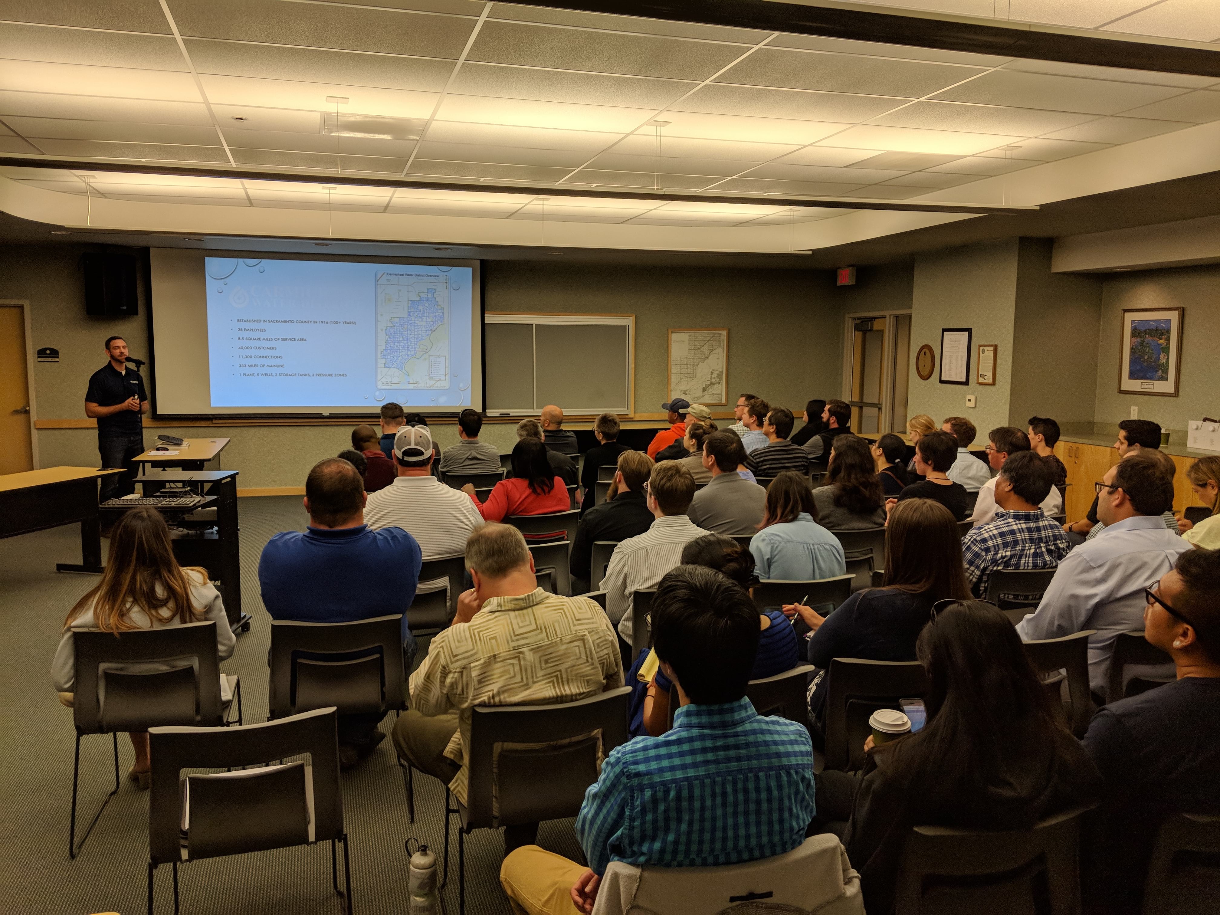
- Carmichael Water District
- Palmdale Water District
- City of Carlsbad Water Department
- City of Portland Water Department
- Tacoma Water
Thank You to Our Sponsors
GIS Inc. joined us to sponsor the meeting series in CA and shared their vision on how two new innovations can help organizations work smarter and increase productivity. The two innovations include GeoIoT and RSMeans data. Their GeoIoT vision is that organizations will be able to work smarter by leveraging a sensor-based approach to work management. In addition, RSMeans data is the industry standard for construction cost estimating with localized and current cost data for material, equipment and labor.
Get Updated News and Events
Sign up to receive industry announcements from the Esri Water Team. Sign up by visiting, go.esri.com/preferences.

Commenting is not enabled for this article.