Geography is key to climate resilience
Today, organizations are finding new ways to adapt and thrive with geospatial technology that is uniquely poised to meet this moment.
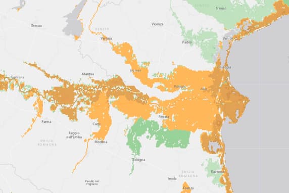
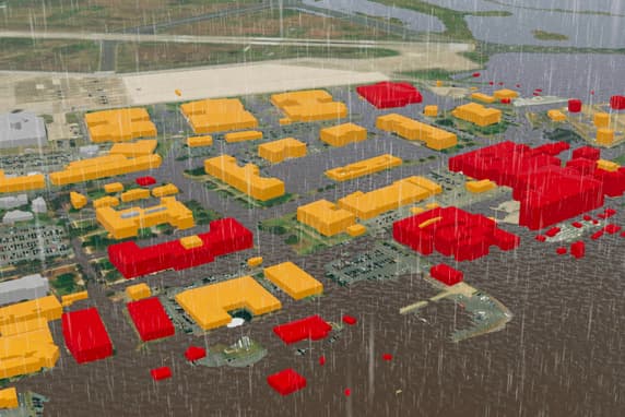
The life-altering effects of a changing climate are inherently geographic. Risks, impacts, and solutions exist in specific places and require location-based problem-solving.
A geographic approach
Understanding climate data in the context of location helps decision-makers model scenarios, pinpoint risk, and adapt.
Location technology
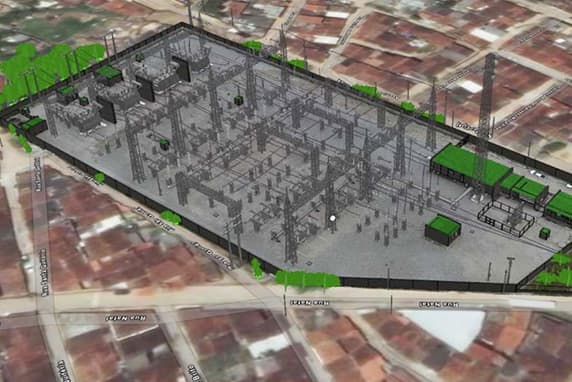
Geographic information system (GIS) technology provides the tools to collect, view, manage, analyze, and share climate data.
Insights that fuel action
Business, government, and community leaders use location intelligence from GIS analysis to understand changing conditions and act quickly.