Skip to Content

Assessing Risks

Leverage data to identify climate change threats

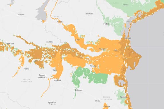
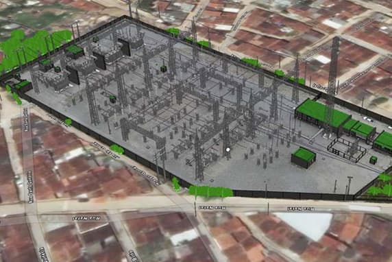
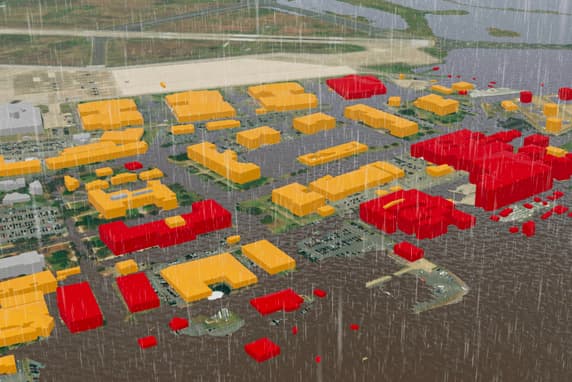
Simulations of real-world scenarios can aid climate change adaptation planning. Visualize and analyze long-term effects from global warming-related impacts and disasters such as floods, wildfires, storm surges, and droughts. Finding hidden vulnerabilities and patterns in your data is the first step in climate change planning.

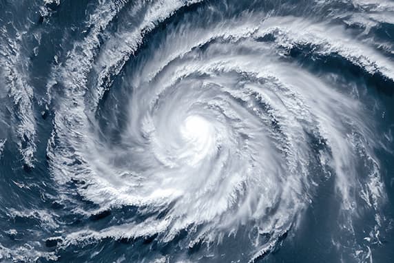
Hurricane storm satellite image in blue, green, red, and orange, and water rushing down a street while wind and rain blow away palm trees

Search trusted data

For decades, national, state, and local governments, nonprofits, and the private sector have been using GIS to assess risk. Use your data alongside authoritative global data through ArcGIS Living Atlas of the World to conduct a comprehensive climate risk assessment.

Two businesspeople looking at a tablet, and a map of red and orange lines on an unspecified area

Ten Most Destructive California Wildfires

California's wildfires have reached a level of incomprehensible destructiveness. This video uses data from the ArcGIS Living Atlas of the World.

ArcGIS Living Atlas of the World

The foremost global collection of geographic information, ArcGIS Living Atlas of the World includes maps, apps, and data layers to support your work.

Search ArcGIS Living Atlas

Download the climate action ebook

Discover how organizations such as the UN World Food Programme, National Audubon Society, CAL FIRE, City of Los Angeles, and E. O. Wilson Biodiversity Foundation are using GIS to take action against extreme heat, drought, wildfire, flooding, and biodiversity loss.