Skip to Content

Resources

Climate Mapping for Resilience and Adaptation

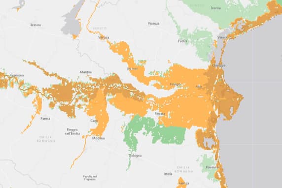
Climate Mapping for Resilience and Adaptation integrates authoritative data to help local governments see their exposure to climate-related hazards.

More on CMRA
A graphic of the United States formed of a grid of multicolored dots overlaid with icons representing flood, wildfire, and extreme weather

Build an actionable climate plan

Climate change is a complex, global problem requiring authoritative data and solutions. Our climate resources are a great way to build a climate action plan to get the answers you need.

An illustrated map showing in red how water travels across the land to the ocean

Weather and Climate Science

Get geospatial resources for forecasting, preparedness, and adaptation. See how scientists are using GIS to address climate change.

Explore the resources
Two presenters on stage in a full room with a screen showing a bright pink and yellow map and background setting of tree

Conservation

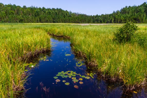
Achieve sustainable conservation with the power of geography. Modern conservation technologies enable efficient and, increasingly, real-time observations to monitor natural areas, leading to new insights and understanding through conservation science. 

Explore the technologies
A collage of a map with pinpoints on it, the Earth, and an article titled “The Heart of the Rainforest”

Download the climate action ebook

Discover how organizations such as the UN World Food Programme, National Audubon Society, CAL FIRE, City of Los Angeles, and E. O. Wilson Biodiversity Foundation are using GIS to take action against extreme heat, drought, wildfire, flooding, and biodiversity loss.