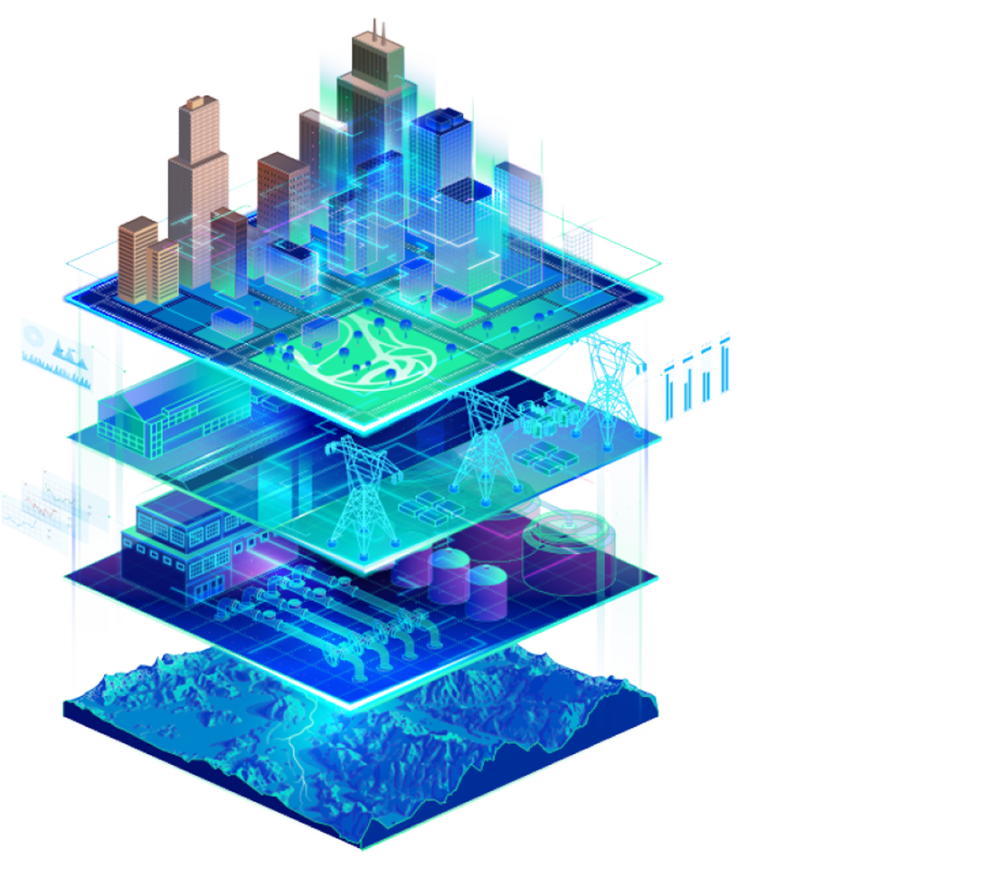
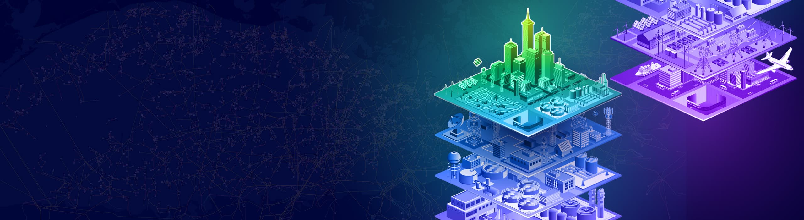
Two 3D models of a city with expanded layers revealing layers of infrastructure

Plenary Session

Solving Infrastructure Challenges with GIS

15 April 2026 | Frankfurt, Germany

Explore the geography-driven power of ArcGIS

Geospatial technology is shaping the future of infrastructure and smart communities.

Previous
Next
Presenter with long dark hair and glasses gestures while speaking against a map background

Join thought leaders and special guests

Industry experts will share real-world stories of how ArcGIS is being used to reveal patterns and solve infrastructure challenges. Find out how the leading and most comprehensive geospatial platform promotes an integrated approach to managing the enterprise.

Closeup of a presenter with long dark hair wearing a green blazer on stage speaking to the audience

Experience live demonstrations

Dive into the latest advancements in Esri technology through real-world use cases and product demonstrations. Discover how new tools and capabilities, such as AI and digital twins, are able do the following:

  • Increase productivity through automation.
  • Enable holistic planning by modeling data across space and time.
  • Communicate visually and transparently with stakeholders.
  • Assess risk to identify opportunities for resilience.

Register for this event

Get registration details

Sign in to plan your schedule

Sign in