Esri International Infrastructure Management & GIS Conference
15–17 April 2026 | Frankfurt, Germany
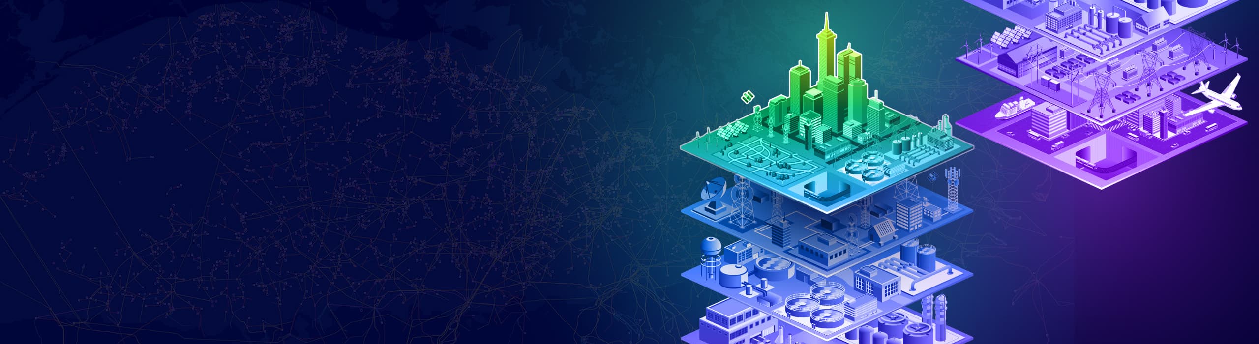
Geospatial solutions for infrastructure’s biggest challenges
Discover how ArcGIS models, connects, and enhances relationships between the built, social, and natural environments, offering advanced visualizations and analytics throughout the entire infrastructure life cycle. Explore the latest geospatial tools and management strategies for long-term success.
Take home industry-specific insights
Learn about practical solutions and digital workflows that can be applied to your projects. Attend user sessions led by industry experts who will share real-world stories highlighting the value of GIS, as well as best practices and lessons learned.
Gain insights into new technology
Stay ahead of industry trends with the latest updates in ArcGIS supporting all stages of infrastructure management. Discover what’s new in ArcGIS Utility Network, ArcGIS GeoBIM, and ArcGIS Indoors.
Network and nurture relationships
Connect with peers, senior executives, and Esri experts from multiple interconnected industries. Share ideas, learn from case studies, and engage in discussions that can lead to new partnerships and growth opportunities.
Drive meaningful change
Enhance the skills and connections needed to drive meaningful change within your organization. Gain a clearer understanding of how to scale GIS enterprise-wide, improve asset management, and enhance operational efficiency.