Overview
Created by


Have you ever needed to see change over time?
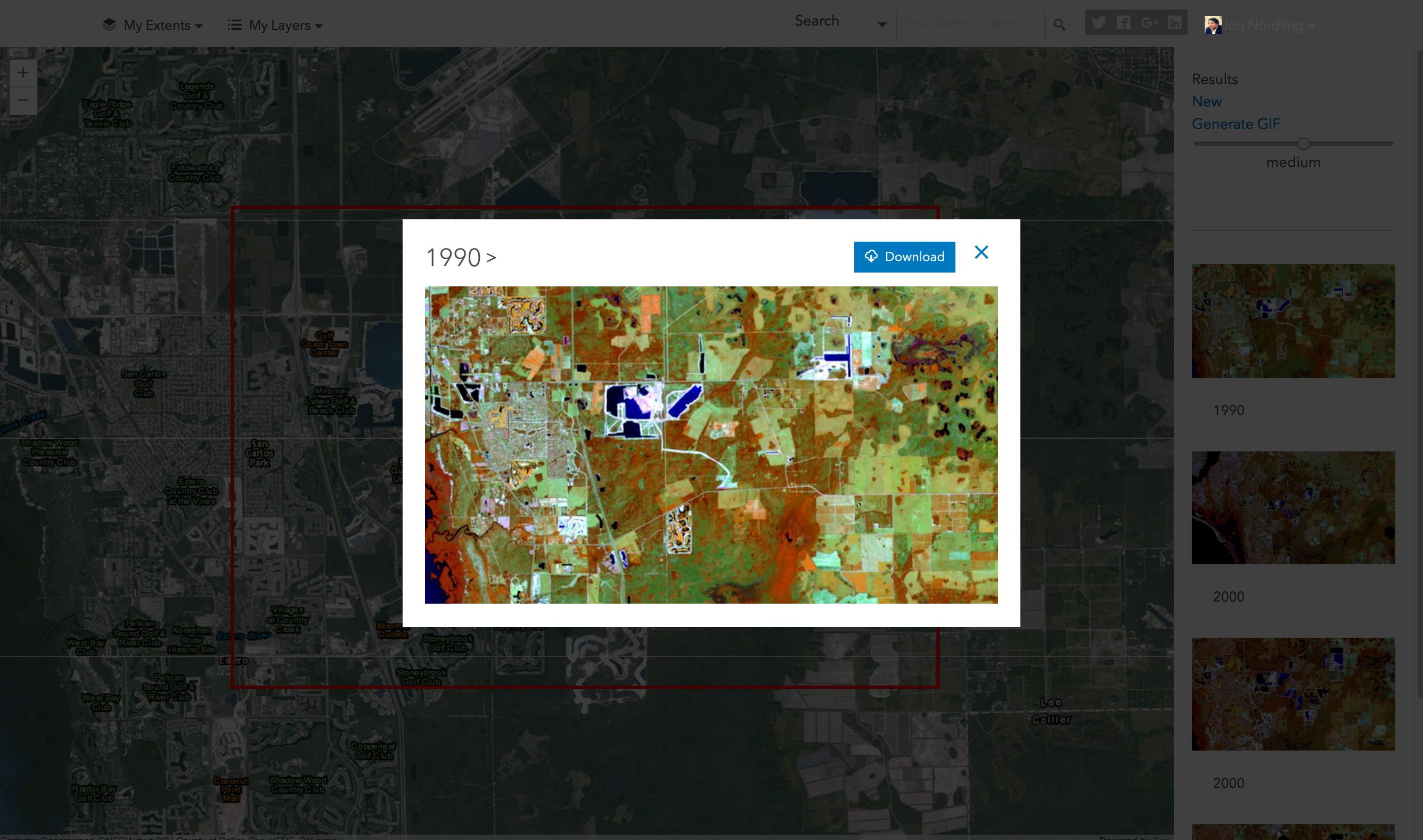
Well, using MapLapse now you can easily visualize change in any area with a few easy clicks. Simply choose an extent, choose a datasource, and hit go. Maplapse will quickly do all the work for you generating a gif you can either use in your ArcGIS® Online organization, offline in a presentation, or embedded in a website.
MapLapse, can be used by many industries, for example but not limited to, urban planning and development, resource management, office of zoning, agricultural production, land cover, land use and change, ecology, restoration, local governments, education and research institutions.
We look forward to seeing how you use MapLapse.


Business needs
Contact provider for more information
Industries
- National Government
- Insurance
Works with
Contact provider for more information
Platform
Contact provider for more information
System Requirements
Version
1.0
Listed Date
Dec 14, 2016
Contact Information
GEO Jobe GIS Consultinghttps://geo-jobe.comEmail1.844.436.5623
