Skip to Content

Image Visualization and Interpretation

Make imagery easier to understand and interpret with visualization tools in ArcGIS

Find the right solution

Visualize for efficiency

Give the power to interpret imagery and take informed action

ArcGIS helps you visualize all kinds of imagery—from stereo, oriented, and multidimensional to motion imagery—for effective image interpretation. View 2D or 3D imagery interactively in Esri’s desktop and web applications. Create and share dynamic applications, reports, and visual stories using imagery to help others see where action is required.

Enhance imagery with geospatial context

Choose the deployment that meets your requirement—reduce upkeep time with SaaS or choose on premises options for greater control.

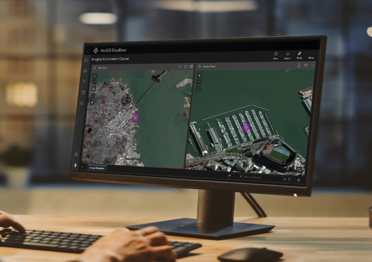
Visualization for efficiency and accuracy

Use desktop and web apps to help view imagery in its natural orientation, distortion free, or in 3D to interpret visual data more accurately.

View imagery in motion

Include video as another data source that seamlessly integrates into your analysis workflows. Stream live video to get near real-time insights.

Aerial view of an industrial facility nestled in a sprawling green field
Analyst holding a tablet and typing while viewing video in ArcGIS Excalibur

Manage all types of imagery

Organize and share collections of drone, aerial, satellite, historical imagery, and other raster data in one system alongside vector data.

Transform analyst workflows

Use web-based and desktop software to visualize and interpret imagery in an efficient and accurate way.

Explore motion imagery in ArcGIS

Video content has become a valuable and widespread source of information. ArcGIS Video Server for ArcGIS Enterprise enables indexing, searching, publishing, and streaming video as a service with geospatial and temporal context. Incorporate video into your analysis to derive meaningful insights.

previous
Next
Explore ArcGIS Video Server

Create intuitive experiences that power problem solving

Quickly include imagery from multiple sensors and sources in your storytelling. Turn observations and analysis results into interactive desktop, web, and mobile apps and dashboards that anyone can understand. Build shareable tools at any level of expertise with no-code, low-code, and developer tools.

Explore this story map
Drone imagery shows the Mt. Everest base camp full of yellow and blue tents, surrounded by snowy mountains

Esri solutions for image visualization

previous
Next

Need help finding the right solution?

Schedule a conversation with one of our experienced sales consultants. Tell us how you're using imagery and remote sensing data now, and we'll show you where a comprehensive geospatial system can take your work next.