ArcGIS Aviation Airports Features

Adhere to standards, generate obstruction surfaces, automate QC, and export/import features

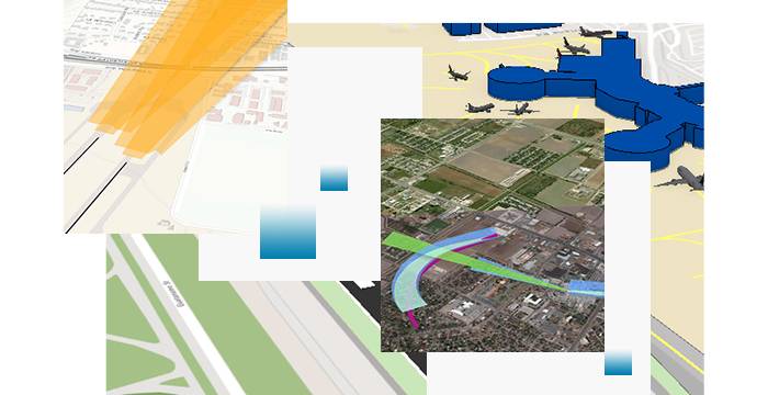
Collage showing flight approach path, a runway, three-dimensional view of an airfield, and a obstacle identification surface

Obstacle identification surface (OIS)

Easily create and manage OIS in International Civil Aviation Organization (ICAO) or Federal Aviation Administration (FAA) compliant airport database. Plan scenarios and perform vertical analyses between surfaces and obstacles (including lidar data) with tools to create curved approaches and light signal clearance surfaces and generate OIS intersection and CNS. Build data-driven Type-A Charts with Obstacle and Terrain Profiles.

Get started with OIS creation
Street map featuring an airport runway with four yellow highlights around it next to a closeup image of land and water

Signs and markings

Perform comprehensive collection, visualization, and management of airfield signs and markings in 2D and 3D using an intuitive and interactive user interface. Convert airport sign labels to feature-linked annotation for more precise placement of features and publish these as web services for stakeholder engagement.

Create and manage signs
Runway marker sign next to a computerized image of an airport runway

Airport database

Use out-of-the-box schemata to create an aerodrome mapping database compliant with FAA and ICAO standards. Import and export FAA's 18B compliant data using data exchange tools.

Export and import features
Street map showing streets, land, and water next to a small icon of a cylinder

Validation

Efficiently validate your data using a robust set of out-of-the-box checks preconfigured for the FAA and ICAO airports database. Configure and create additional checks to meet your custom needs. Automatically run data checks to ensure your data is accurate and compliant. 

Perform automated validation
Icon of a checklist next to a digital image of an airport runway and a computerized checklist with text and blue highlights

Analysis

Quickly identify obstacles that are penetrating the OIS surfaces. Create airport height restriction plans using the OIS Intersect tool to generate the most restrictive set of obstacle surfaces. Calculate obstacle distances against critical airport features with the Analyze Airport Features tool.

Explore tools for analysis
Lidar data showing sample obstructions in the flight takeoff and landing paths

Contact sales

Please share your information, and our sales team will contact you soon. We look forward to communicating with you.