Skip to Content

ArcGIS Desktop

A complete suite for desktop GIS

Contact Sales

ArcGIS Desktop will enter mature support in March 2024. ArcGIS Pro is Esri's next generation desktop GIS software.

Explore ArcGIS Pro
Learn more about mature support

What you can do with ArcGIS Desktop

CASE STUDY

Thailand Department of Mineral Resources

When maps are vital to saving lives

Read the case study

What do you get?

Previous
Next

Optional extensions for Desktop

  • ArcGIS 3D Analyst

    Use a realistic perspective to analyze your data
  • ArcGIS Geostatistical Analyst

    Investigate your data with advanced statistical tools.
  • ArcGIS Network Analyst

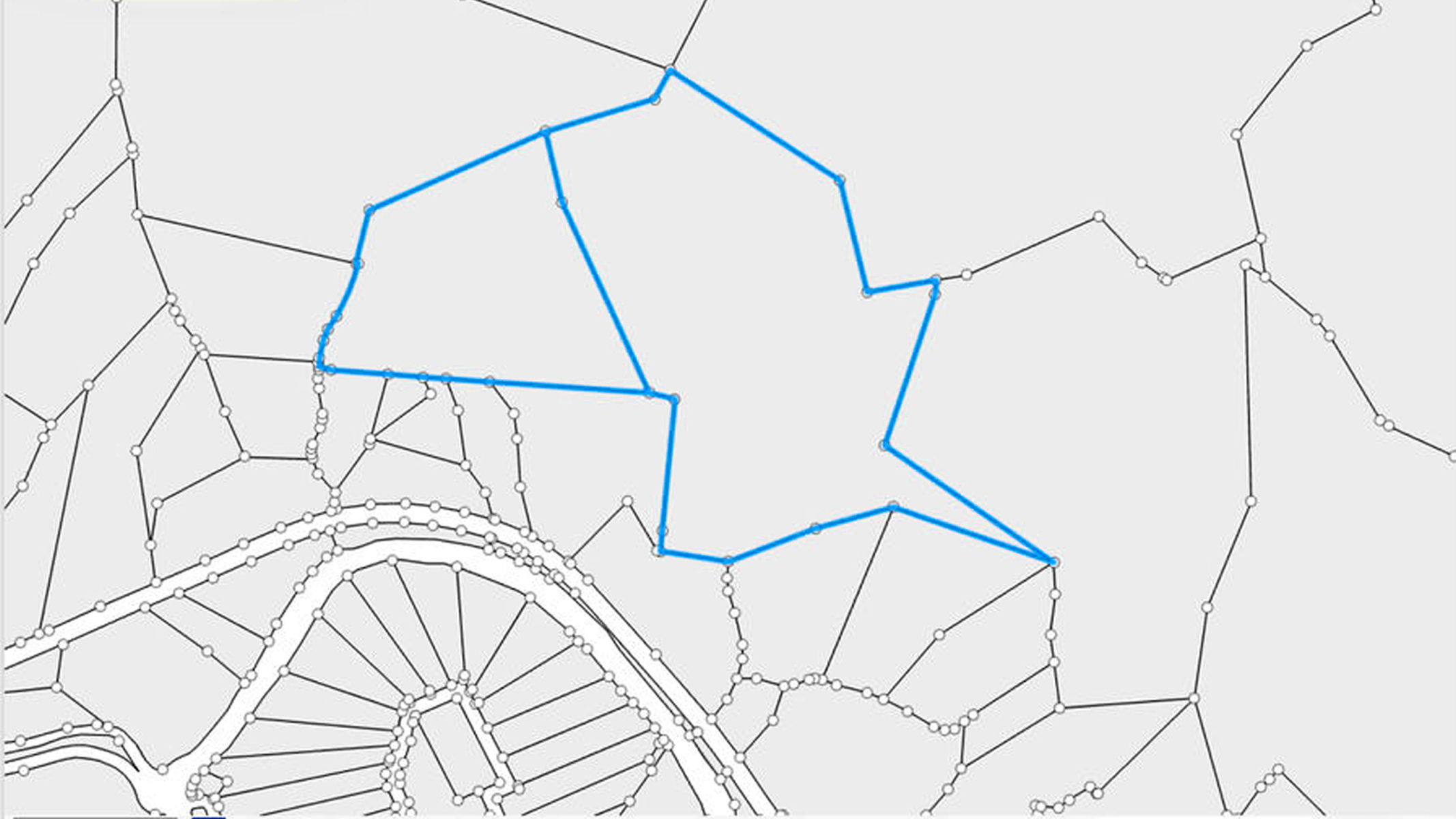
    Perform sophisticated routing and analysis on closest facilities or service areas.
  • ArcGIS Spatial Analyst

    Derive answers from your data using advanced spatial analysis.
  • ArcGIS Tracking Analyst

    Reveal and analyze time-based patterns and trends in your data.
Previous
Next
  • ArcGIS Data Interoperability

    Work easily with different data formats.
  • ArcGIS Data Reviewer

    Automate, simplify, and improve how you manage data quality control.
  • ArcGIS Publisher

    Freely share your maps and data with others.
  • ArcGIS Workflow Manager

    Better manage GIS tasks and resources.
Previous
Next
  • ArcGIS Aviation Airports

    Use automated tools for airspace analysis and planning to meet regulatory requirements.
  • ArcGIS Aviation Charting

    Create, maintain, and publish aeronautical charts and data products.
  • ArcGIS Bathymetry

    Get a comprehensive view of your underwater data assets.
  • ArcGIS Maritime

    Create, maintain, and publish nautical charts and data products.
  • ArcGIS Defense Mapping

    Efficiently manage defense specification-compliant products.
  • ArcGIS Production Mapping

    Standardize and optimize your GIS production.
  • ArcGIS Roads and Highways

    Easily manage, visualize, and analyze transportation networks.
  • ArcGIS Pipeline Referencing

    Create, manage, and optimize pipeline route and event data.
Previous
Next
  • ArcGIS Infographics Add-in

    Get facts and demographics about areas with clean, clear infographics.
  • ArcGIS Editor for OpenStreetMap (download)

    Contribute to the OpenStreetMap project using the ArcGIS editing environment.
  • Districting for ArcGIS (download)

    Redraw political boundaries, define districts, set up territories, and analyze results.
  • Esri S-57 Viewer (download)

    Visualize S-57 data in compliance with S-52 standards and specifications.
  • Free Geoportal Add-ons (download)

    Catalog geospatial resources within an enterprise regardless of location or type.
  • WMC Client (download)

    Open Web Map Context (WMC) files directly in ArcMap.
  • ArcGIS Enhanced Feature Search Extension

    Provide enhanced searching of attributes in ArcMap.
Previous
Next

Discover ArcGIS Pro

ArcGIS Pro, the powerful single desktop GIS application, is software developed with enhancements and ideas from the ArcGIS Pro user community. ArcGIS Pro supports data visualization; advanced analysis; and authoritative data maintenance in 2D, 3D, and 4D. Quickly migrate your ArcGIS Desktop projects to ArcGIS Pro and discover the full spectrum of tools and capabilities available today.

Learn more about ArcGIS Pro

Contact sales

Talk to someone on our sales team

1-800-447-9778

7:00 a.m.–5:00 p.m., Monday through Friday (PT)

Outside the US?