Spatial workflows to strengthen operations
How it works

Access imagery
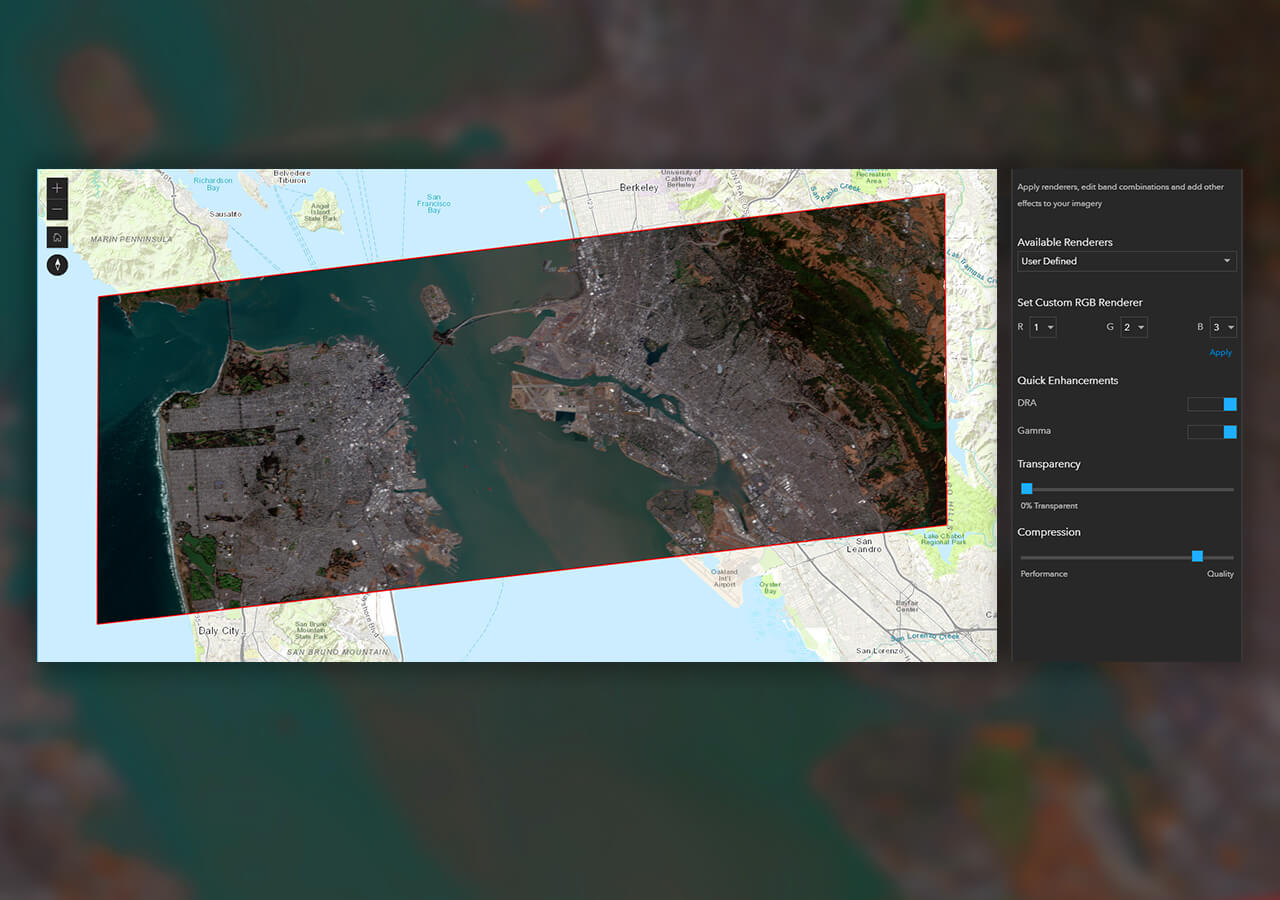
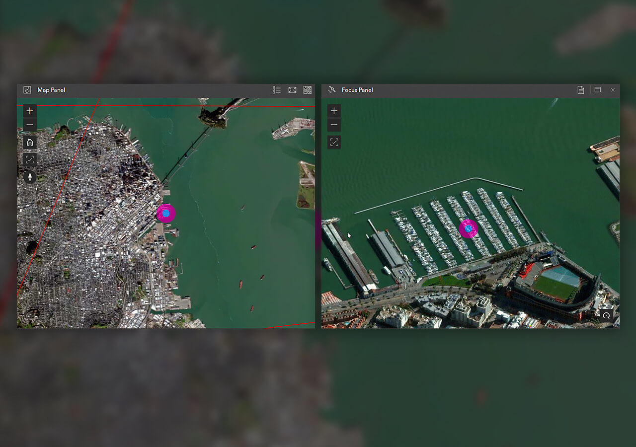
Search for imagery through quick access to Web Map Service or WMTS. Set search settings, preview, view metadata, and save search queries.
Perform imagery exploitation
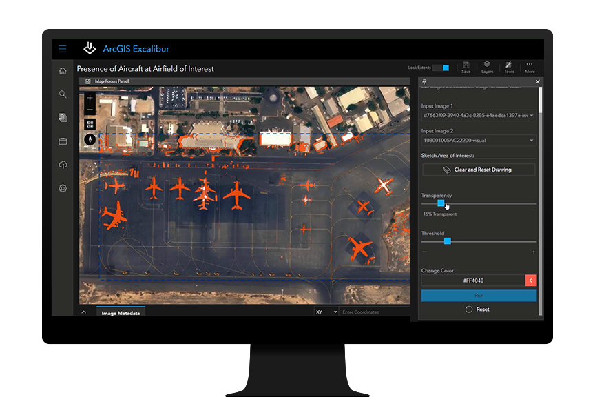
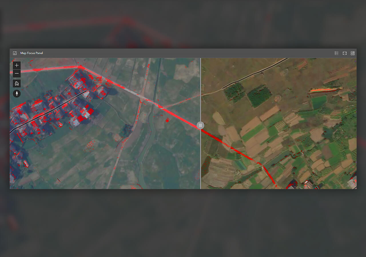
Create markups and apply geoenriched enhancements. Use the swipe tool to compare two image layers or the detect change tool to track object changes.
Share results
Create imagery observation reports and interactive briefing products, monitor product metrics, or share your analysis as dynamic imagery layers.

Leverage the power of ArcGIS Enterprise
ArcGIS Excalibur integrates with servers to expand to other data sources and provide a complete media intelligence solution—all within the security of ArcGIS Enterprise, the leading GIS software.
Coming soon: ArcGIS Video Server
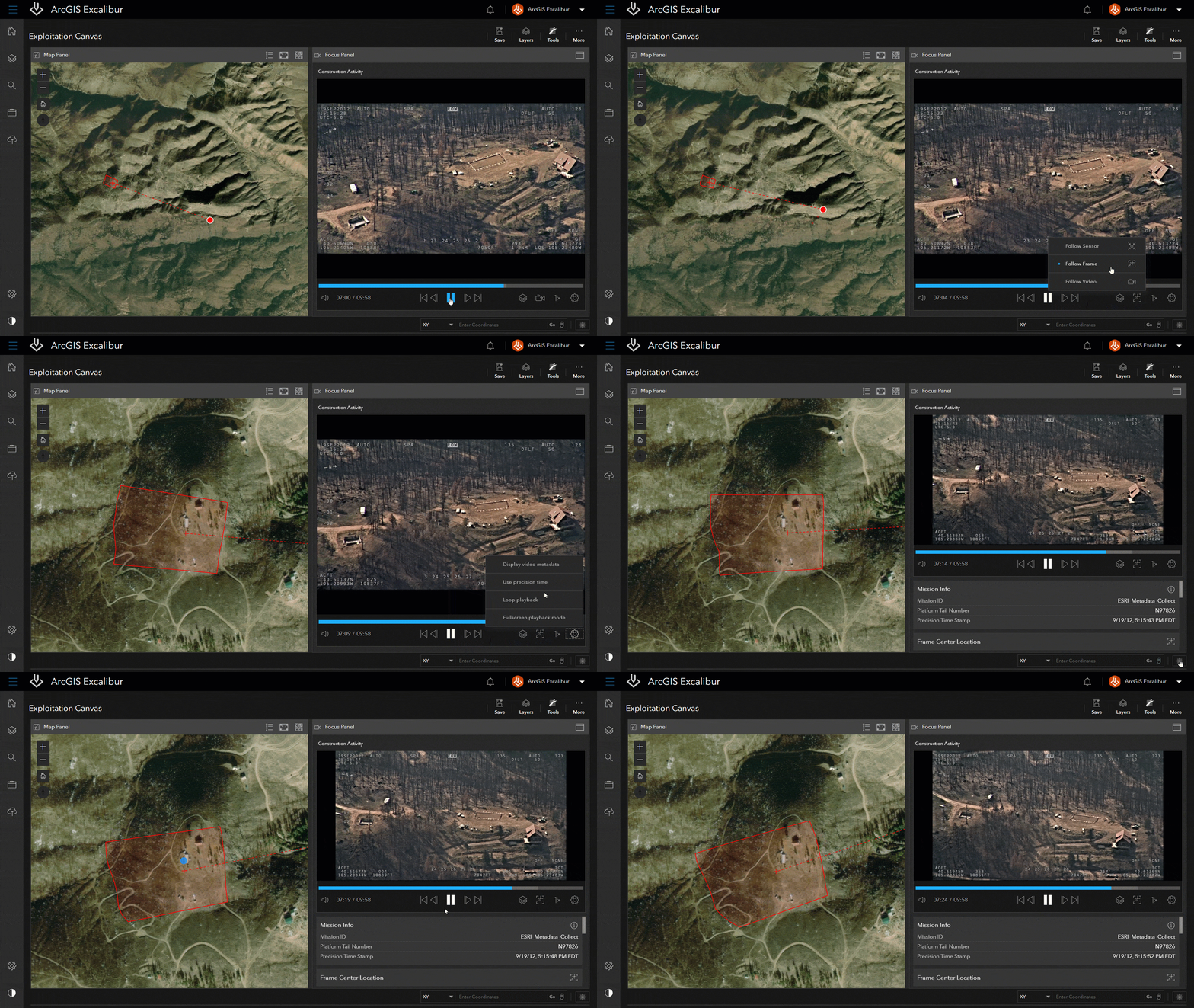
ArcGIS Video Server will enable video services within ArcGIS Excalibur and provide a new way to index, search for, access, integrate, and stream video across your enterprise.
ArcGIS Image Server
Process, analyze, and share massive collections of imagery and rasters.
Contact Sales
Please share your information and our sales team will contact you soon. We look forward to communicating with you.