
ArcGIS Instant Apps

Included with ArcGIS user types

Quickly create web apps that make it easy to interact with your maps and data

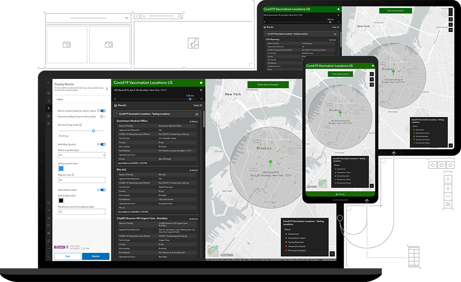
A digital geospatial mapping interface displayed on a laptop, tablet, and smartphone.

Intuitive mapping experiences for your audience

Make it easy for your audience to engage with your maps and data by sharing them with ArcGIS Instant Apps. Within five minutes, you can select a template, choose configuration options, and share a web app that addresses your audience's needs. Confidently use Instant Apps knowing that it's built to support accessibility across audiences and devices. Instant Apps is included with ArcGIS Online, ArcGIS Pro, and ArcGIS Enterprise.

Powerful capabilities and simple authoring

Speed and ease
Select, configure, and share within five minutes
Focused templates
App templates to address specific audience needs
phone-apps-48
Mobile–responsive design
Performant on any device
Accessible apps
Localized and supports assistive technologies
Customizable
Full setup to configure additional capabilities

How it works

Build a map

Create a web map in ArcGIS Online or ArcGIS Enterprise that will be used in your app.

Select a template

Based on your goal and the components in the map, you are guided to select the best app for your map and data.

Configure

Two configuration experiences are available: 'express' for ease and 'full' for deeper capabilities.

Share

Share your completed web app with specific people or the entire world.

Focused templates to address your audience's needs

Choose a template to provide a focused experience for people using your map. The interface also guides your selection based on your map's components, such as pop-ups, symbolization, and attachments. Explore some popular Instant Apps templates.

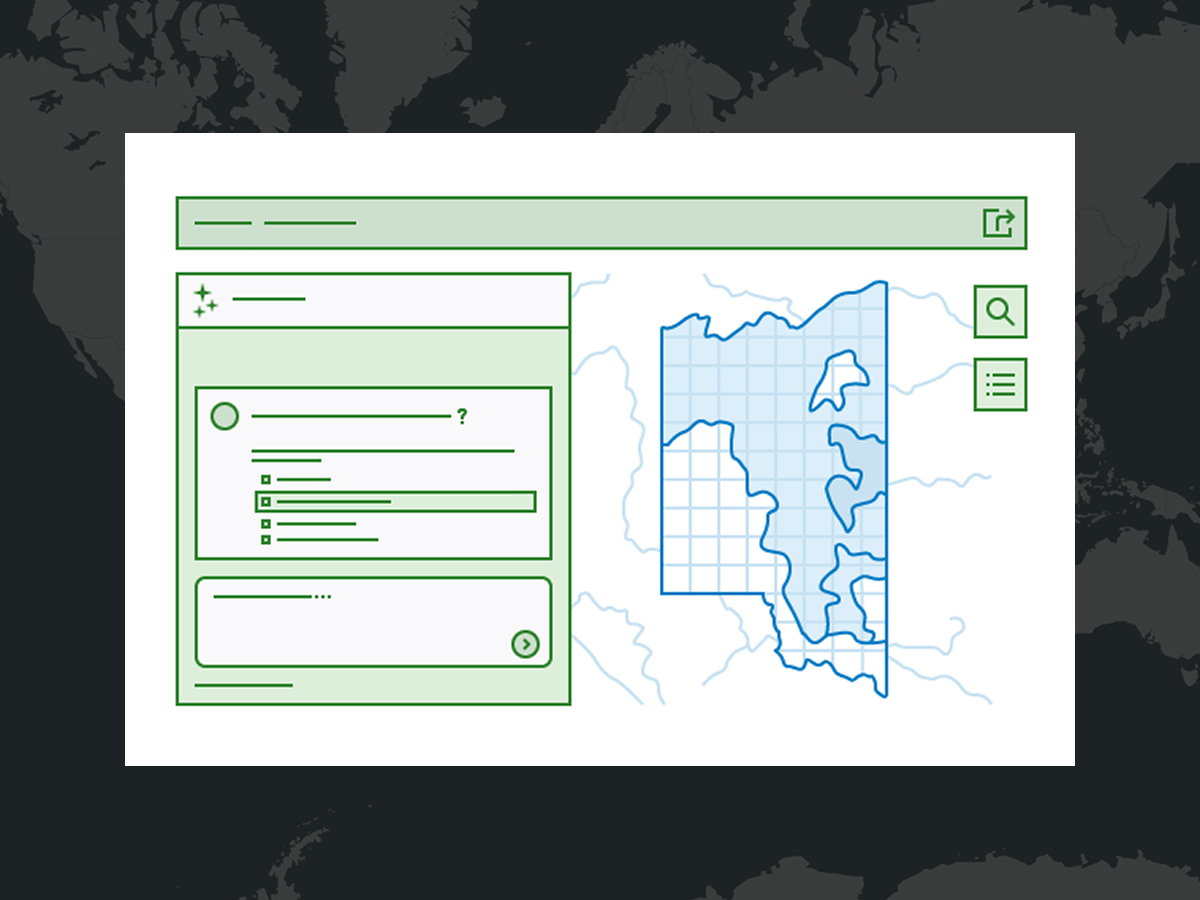
Illustration of a web application interface featuring a sidebar and a main content area. Data Explorer (beta)

A conversational AI interface makes it possible for users to find features, filter by location or time, perform calculations, and surface data patterns without navigating complex query syntax or GIS workflows.

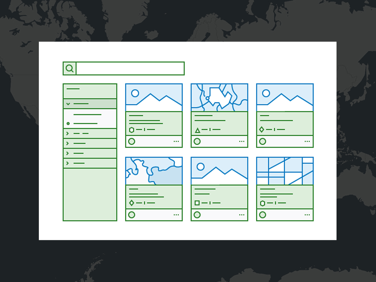
A stylized illustration of a mapping software display with six maps, a legend, and a search bar Gallery

Create a category-based gallery of maps and apps focused on a topic or provide options to filter, search, and sort content within a group and allow for sharing filtered content via URL or social media.

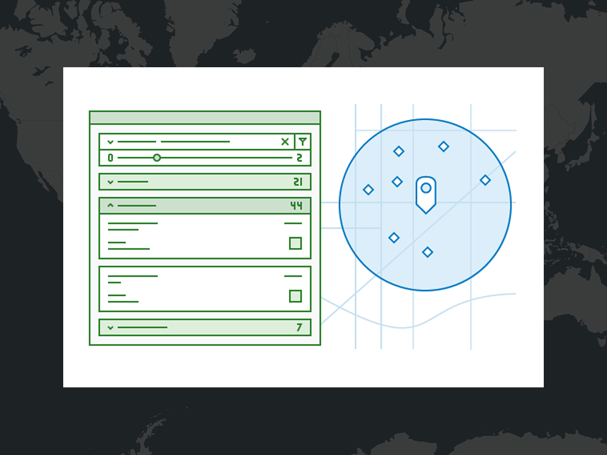
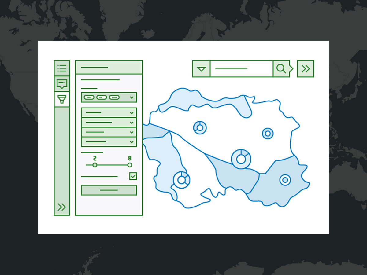
A stylized blue map overlay featuring white lines and circular markers is displayed against a geographic terrain background. Nearby

Guide viewers to points of interest based on a location search and provide directions. Set a range for the distance slider that will be used to define the search buffer. Enable the Screenshot tool to allow viewers to capture images of the map with search results.

An abstract illustration of a mapping software window with a menu pane and map Sidebar

Include a set of tools that allow viewers to interact with and update data. Editing tools enable viewers to update and add features, while filters provide more information about the data. Use bookmarks and map tools to allow viewers to explore.

A stylized illustration of a mapping software display with four maps Compare

Compare multiple maps or scenes side by side or stacked vertically. Allow viewers to easily explore differences across datasets, time periods, or scenarios with synchronized navigation and built-in layer toggling.

A stylized illustration of a mapping software display with a map and several datasets Manager

View, edit, and manage map features all in one place. Add one or multiple maps with editable layers to update attributes directly in a table, make geometry edits, create new features, and export to CSV. Use this template to review field data, update records, or manage job statuses.

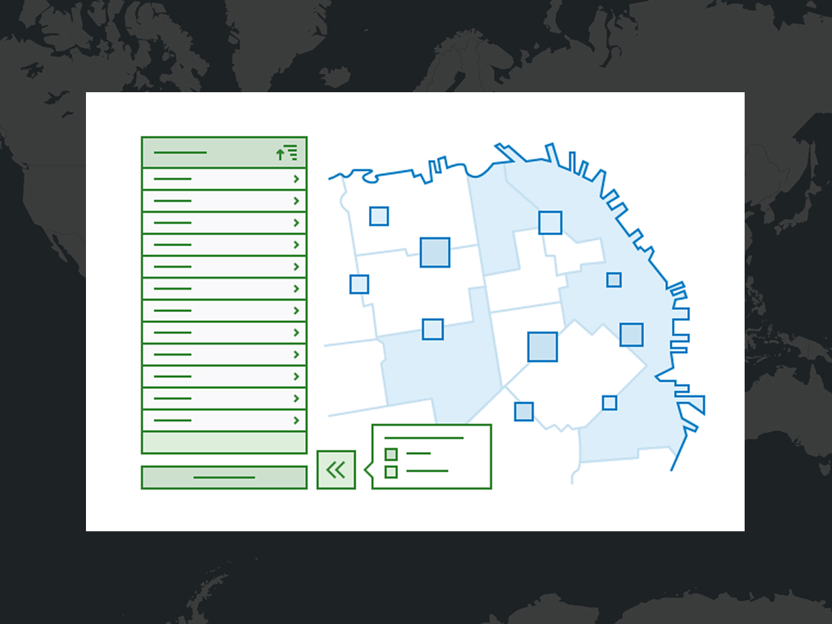
A stylized illustration of a mapping software display with a large map and a list of expandable data Reporter

Collect reports directly on a map. Users can submit issues or observations, such as maintenance problems or community feedback. Gather input from the public or across teams, view existing reports, and track submission status.

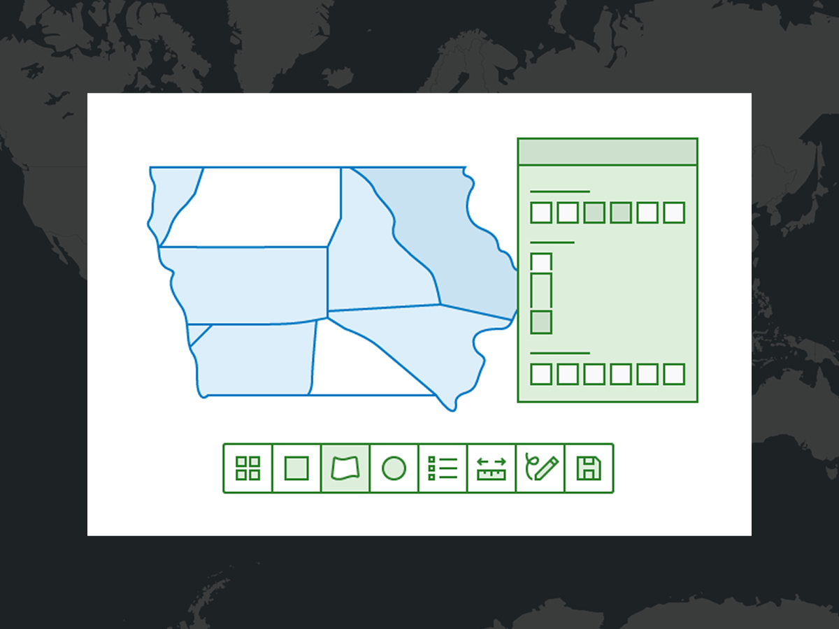
An abstract illustration of a mapping software window with a floating menu pane Atlas

Discover, view, and explore a collection of maps and layers curated by an organization. Interactively measure distance, area, and elevation profiles; switch between 2D and 3D; compare layers with swipe and transparency tools; and more. Share the maps you create by exporting a PDF file or screenshot.

CASE STUDY

Oregon supports response and recovery with ArcGIS

The state of Oregon uses ArcGIS Instant Apps to improve processes during emergency events to combat the increasing intensity of wildfires.

Read the case study

This app is included with ArcGIS user types

ArcGIS provides a comprehensive set of capabilities for creating, managing, analyzing, and mapping geographic information. Gain access to the capabilities of this application, included in ArcGIS, with user types. Match user types to roles within your organization.

A digital image of earth with blue water and green land with a series of round icons surrounding it

Purchasing options for ArcGIS

Esri hosted software as a service

Go to ArcGIS Online pricing

Self-hosted geospatial infrastructure

Go to ArcGIS Enterprise pricing

Talk to someone on our sales team

1-800-447-9778

7:00 a.m.–5:00 p.m., Monday through Friday (PT)

Chat online

Start a chat

Contact the sales team

Fill out the contact form