Unlock the value of maritime data
Meet increasing demands for data sharing by publishing foundational maritime data for Marine Spatial Data Infrastructure (MSDI) and e-navigation.

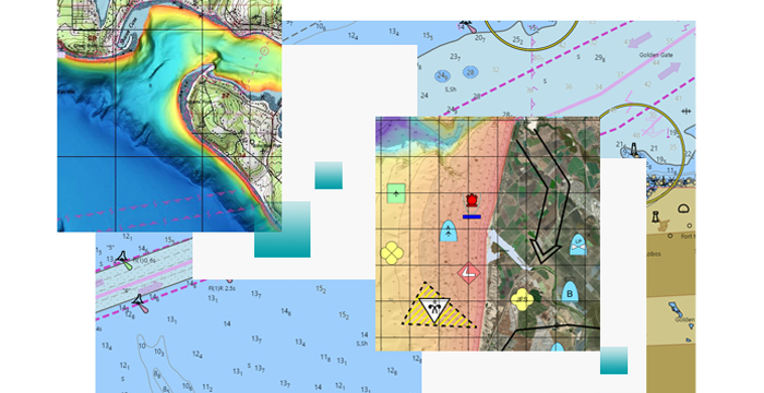
Make maritime data available across the enterprise
Meet increasing demands for data sharing by publishing foundational maritime data for Marine Spatial Data Infrastructure (MSDI) and e-navigation.
Use maritime data in a common operating picture to support monitoring of vessel traffic, defense, port operations, oil and gas exploration, and ocean sciences.

Publish authoritative S-57 and S-63 AML, ENC, and IENC datasets via REST- and OGC-compliant web services. Seamlessly display all your nautical charts online.

Generate custom, on-the-fly information products at any scale to support various operations. You can also create traditional paper chart products at a fixed size and scale.

Start a conversation online.
Speak with a representative.