Mapping tool supports marine protection
Date: May 23, 2023
Time: 7:30 a.m.–8:30 a.m. (PT)
Location: Virtual
Cost: No cost
Language: English
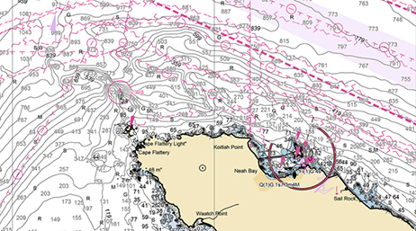
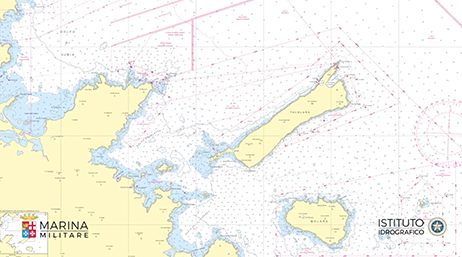
In this webinar, Esri staff will demonstrate ArcGIS Maritime’s intuitive, web-based Custom Chart Builder, which allows users to create paper navigational charts directly from electronic chart data without human intervention. Using this builder, attendees will learn how to automate the traditionally labor-intensive task of paper chart production with just a couple of clicks.
Date: June 20, 2023
Time: 7:30 a.m.–8:30 a.m. (PT)
Location: Virtual
Cost: No cost
Language: English
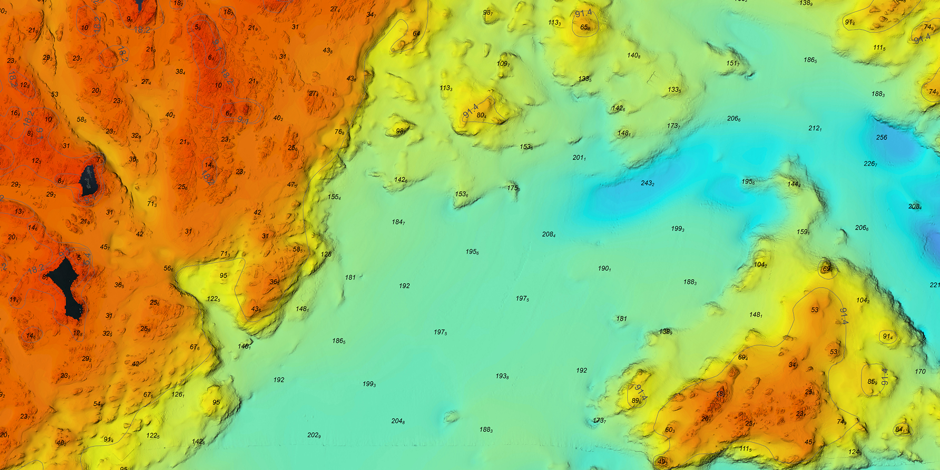
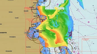
Stay ahead of trends by geoenabling your bathymetric data. In this webinar, Esri experts will showcase a diverse range of applications of ArcGIS Bathymetry. Attendees will learn about using time-series bathymetric data for seafloor change detection, generating bathymetric Inland Electronic Navigation Charts (IENCs), and creating custom bathymetric surfaces.
Build a Marine Spatial Data Infrastructure (MSDI) with data management and sharing capabilities.
Use simple tools for ingesting IHO S-57 and IHO S-100 electronic chart specifications. Magnify the value of your maritime data with the power of GIS.
Geoprocessing tools automate the production of industry-standard IHO S-57 and IHO S-100 Electronic Navigational Charts.
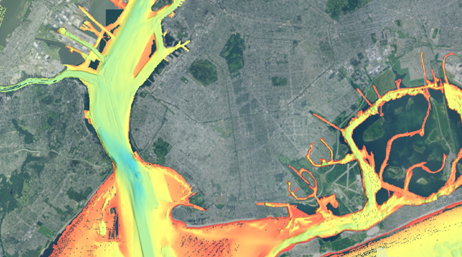
Publish electronic charts as web services. Combine the latest IHO electronic charts with bathymetric and topographic data to create dynamic PDFs.
Realize the value of your bathymetric data by adding ArcGIS Bathymetry to your maritime portfolio.
Take advantage of data visualization, advanced analysis, and authoritative data maintenance with ArcGIS Pro, a next generation desktop GIS.
Power your location intelligence by organizing and sharing your work on any device, from anywhere, at any time.
Start a conversation online.
Speak with a representative.