ArcGIS Notebooks

ArcGIS Notebooks

Included with ArcGIS user types

Spatial analysis meets data science

Go to purchase options

ArcGIS Notebooks provides a Jupyter Notebook experience optimized for spatial analysis. Combine industry-leading spatial analysis algorithms with open-source Python libraries to build precise spatial data science models. Reduce time spent managing dependencies across data science ecosystems and increase cross-team collaboration and transparency. Ideate, iterate, and share workflows in a secure environment—accessible anywhere you go. Convey results with beautiful, interactive maps and apps for data storytelling that drives insight and action.

Break away from siloed analysis workflows

Explore the collaborative spatial data science workbench designed for data scientists and GIS professionals.
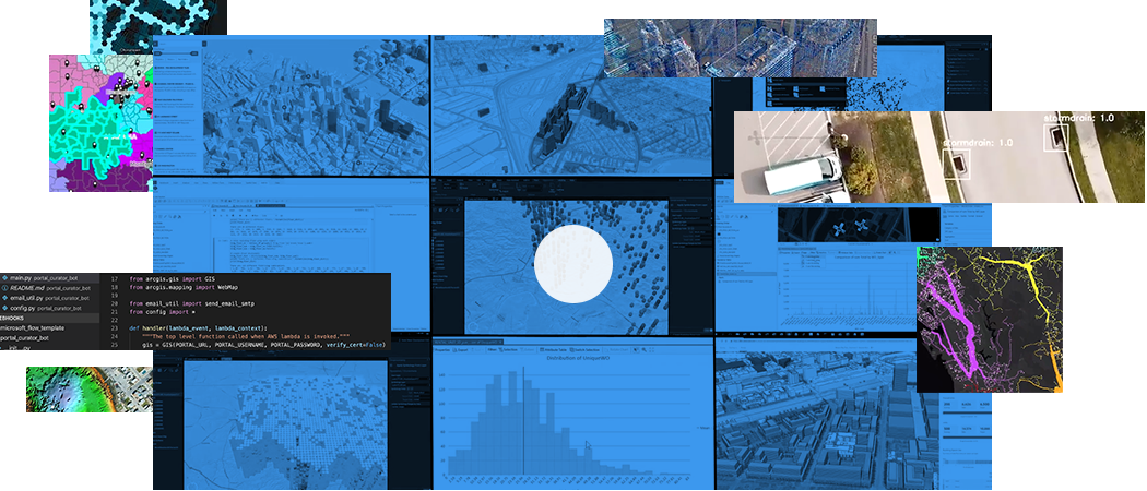
A collage of different types of maps, graphs, aerial photos, and screenshot

What can you do with ArcGIS Notebooks?

Enhance your data engineering

Prep your data using spatial and open-source libraries to isolate an area of interest and identify anomalies. Add context with curated location data.

How does it work?

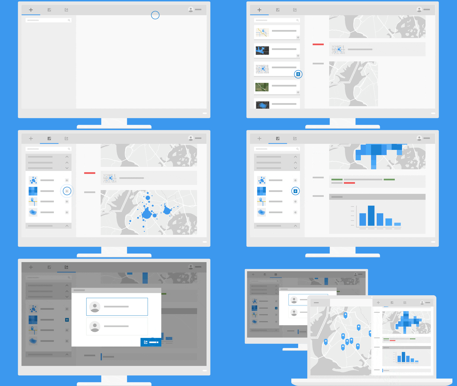
A computer monitor featuring a solid blue background.

Add data

Access your data and contextualize it with datasets built by the ArcGIS community and Esri’s team of cartographers, demographers, and statisticians.

Visualize

Dynamically create beautiful maps and visualizations that tell a story. Explore data distributions, find patterns, and view results in 2D and 3D.

Analyze

Combine industry-leading spatial analytics from ArcGIS with open-source Python libraries to solve complex problems and build precise models.

Share

Make your models accessible and easy to find, increasing transparency and efficiency. Better collaborate with other analysts and data scientists.

This app is included with ArcGIS user types

ArcGIS provides a comprehensive set of capabilities for creating, managing, analyzing, and mapping geographic information. Gain access to the capabilities of this application, included in ArcGIS, with user types. Match user types to roles within your organization.

Learn more about user types
Learn more about ArcGIS
A blue hexagon logo is centered on a glowing earth, surrounded by interconnected data points and icons representing global cloud services.

Purchasing options for ArcGIS

Esri-hosted software as a service

Go to ArcGIS Online pricing

Self-hosted geospatial infrastructure

Go to ArcGIS Enterprise pricing

Talk to someone on our sales team

800-447-9778

7:00 a.m.–5:00 p.m., Monday through Friday (PT)

Contact the sales team

Fill out the contact form