Find routes
Find the quickest or shortest routes based on time and/or distance. Solve for two stop locations or create a sequence that puts multiple stops in the best order. Build these routes with live or historical traffic.
Find routes, directions, and perform intelligent network analysis
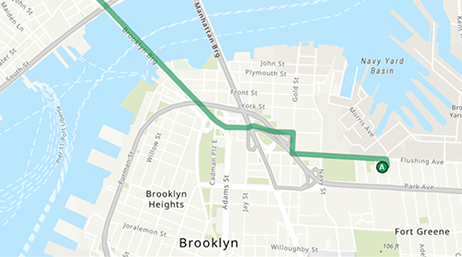
Find the quickest or shortest routes based on time and/or distance. Solve for two stop locations or create a sequence that puts multiple stops in the best order. Build these routes with live or historical traffic.
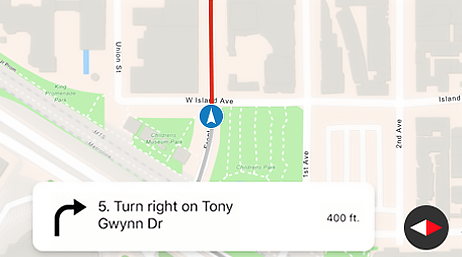
Generate turn-by-turn directions as you travel on a route. Track progress information relative to the next stop or maneuver or along the entire route. Get guidance for navigation as it's needed; for example, when approaching a maneuver. Quickly recalculate routes if the device location goes off route.
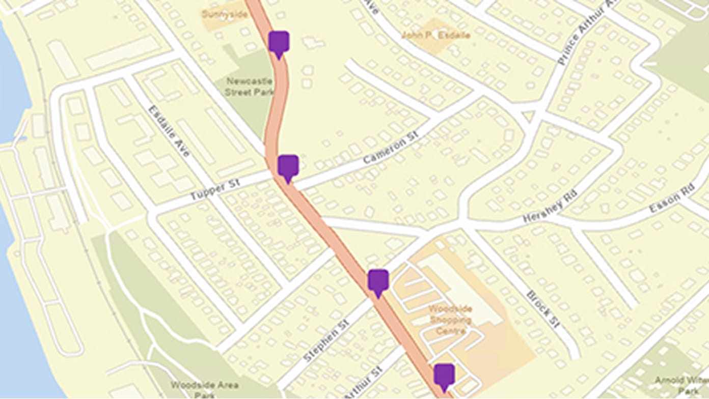
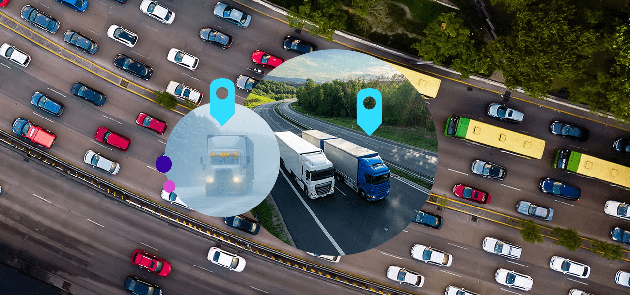
Refine GPS points to align with the route taken to ensure accuracy. Enhance the quality of your route analysis to improve operations and compliance.
Find a location that keeps costs low and accessibility high to maximize profits and ensure high-quality service. The analysis considers facilities that provide goods and services and where those goods and services are consumed.

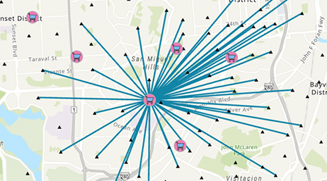
Measure the cost of traveling between facilities to determine which is the closest. Identify which branch the potential customer should visit to minimize travel time or which ambulance or patrol car can respond fastest to an incident. Specify how many facilities to find and whether the direction of travel is toward or away from the facility.
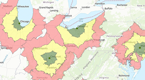
A network service area is a region that can be reached from a location within a given travel time or distance. Once service areas are created, you can use them to identify things like what market areas a business covers or which houses are within five minutes of a fire station.
The origin-destination cost matrix produces a distance table showing least-cost paths along the network from many origins to many destinations. The cost values reflect the network distance.
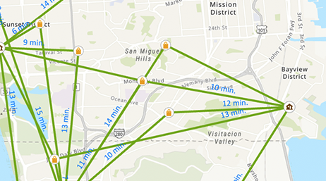
Find the quickest or shortest route with two or more stops. Take into account real-world constraints such as traffic feeds, U-turns, road barriers, incidents, maximum permitted vehicle height, and many more.
Given a set of work locations and a fleet of vehicles, determine what stops should be serviced by each route and in what sequence the stops should be visited. Minimize the overall operating cost for the entire fleet while considering real-world constraints.
Create your account and take advantage of the free tier to access all the features and services of ArcGIS Location Platform. Then, pay only for what you consume with Esri’s pay-as-you-go model.