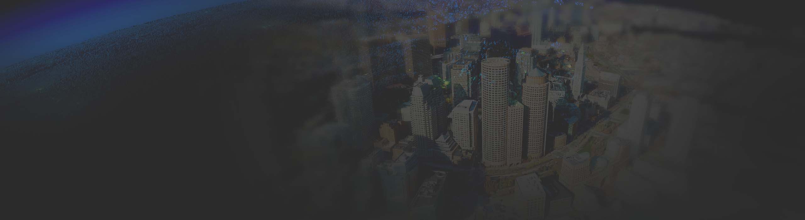
Create foundational content
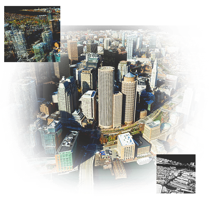
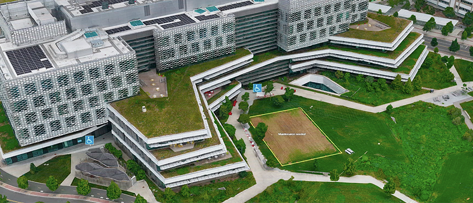
Transform sensor data into representations of the real world—detailed maps of construction sites, complex cityscape models, holistic regional mosaics, and beyond. Create multidimensional products like orthomosaics, terrain and elevation models, point clouds, 3D meshes, and Gaussian splats.

