Coastal neighborhood
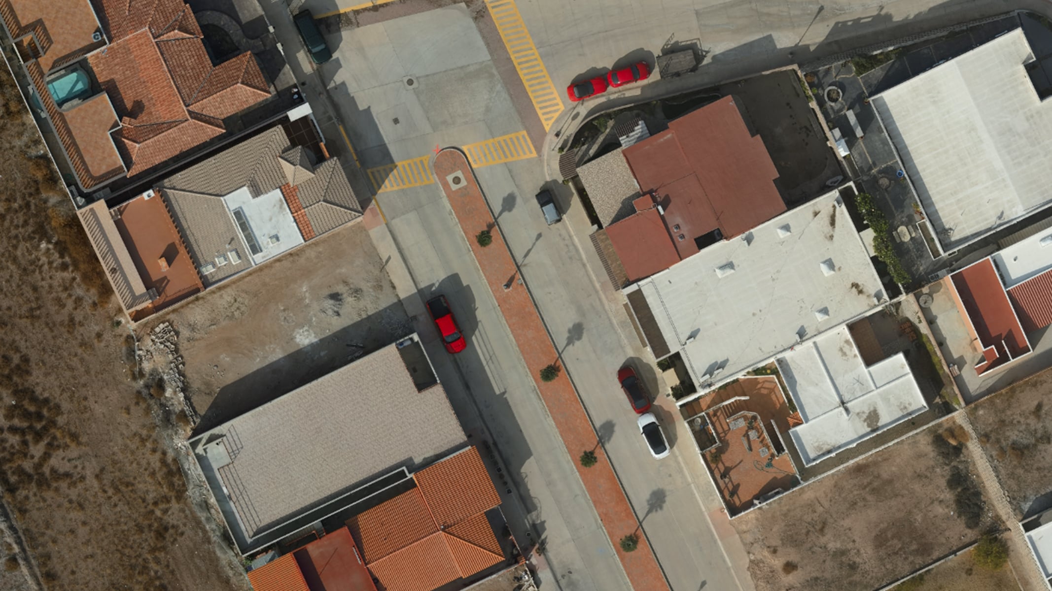
Survey of the small coastal neighborhood of Rancho Del Mar in Baja California, Mexico. Captured with a DJI Zenmuse sensor.
ArcGIS Reality software turns your drone, aerial, and satellite data into visually stunning and highly accurate 3D maps and models. If you’re just learning the software or want to practice on drone data different than your own, use these sample drone datasets in the ArcGIS Reality software that suit your business needs—Site Scan for ArcGIS, ArcGIS Drone2Map, or ArcGIS Reality for ArcGIS Pro.
Survey of the small coastal neighborhood of Rancho Del Mar in Baja California, Mexico. Captured with a DJI Zenmuse sensor.
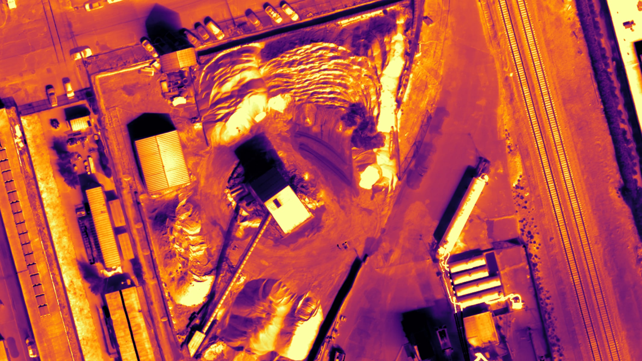
Thermal survey over the Heidelberg asphalt plant in Berkeley, California. Captured with a DJI Zenmuse XT2 sensor.
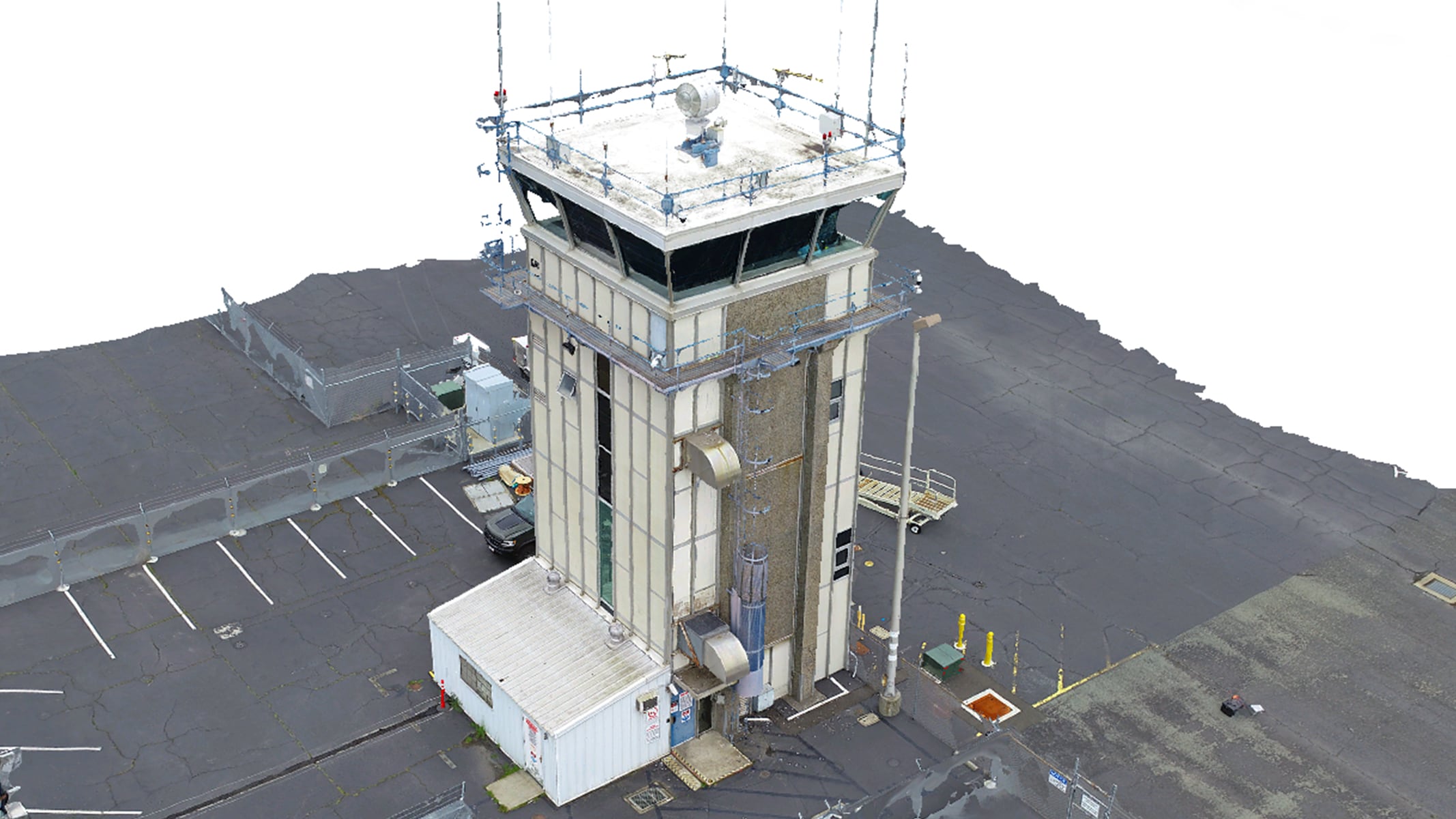
Inspection flight of the Buchanan Field Airport air traffic control tower in Concord, California. Captured with a DJI Phantom 4 Pro sensor.
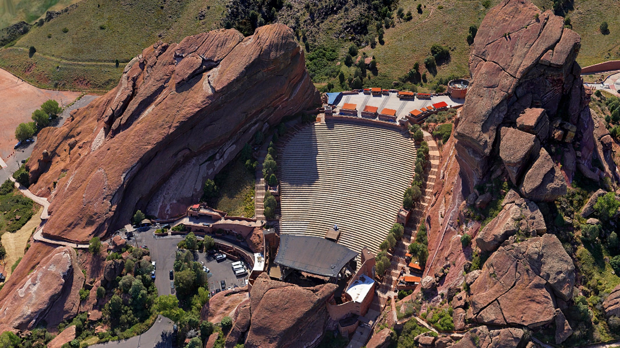
Crosshatch flight over the Red Rocks Amphitheatre event venue in Denver, Colorado. Captured with a Sony ILCE-7RM4A sensor.
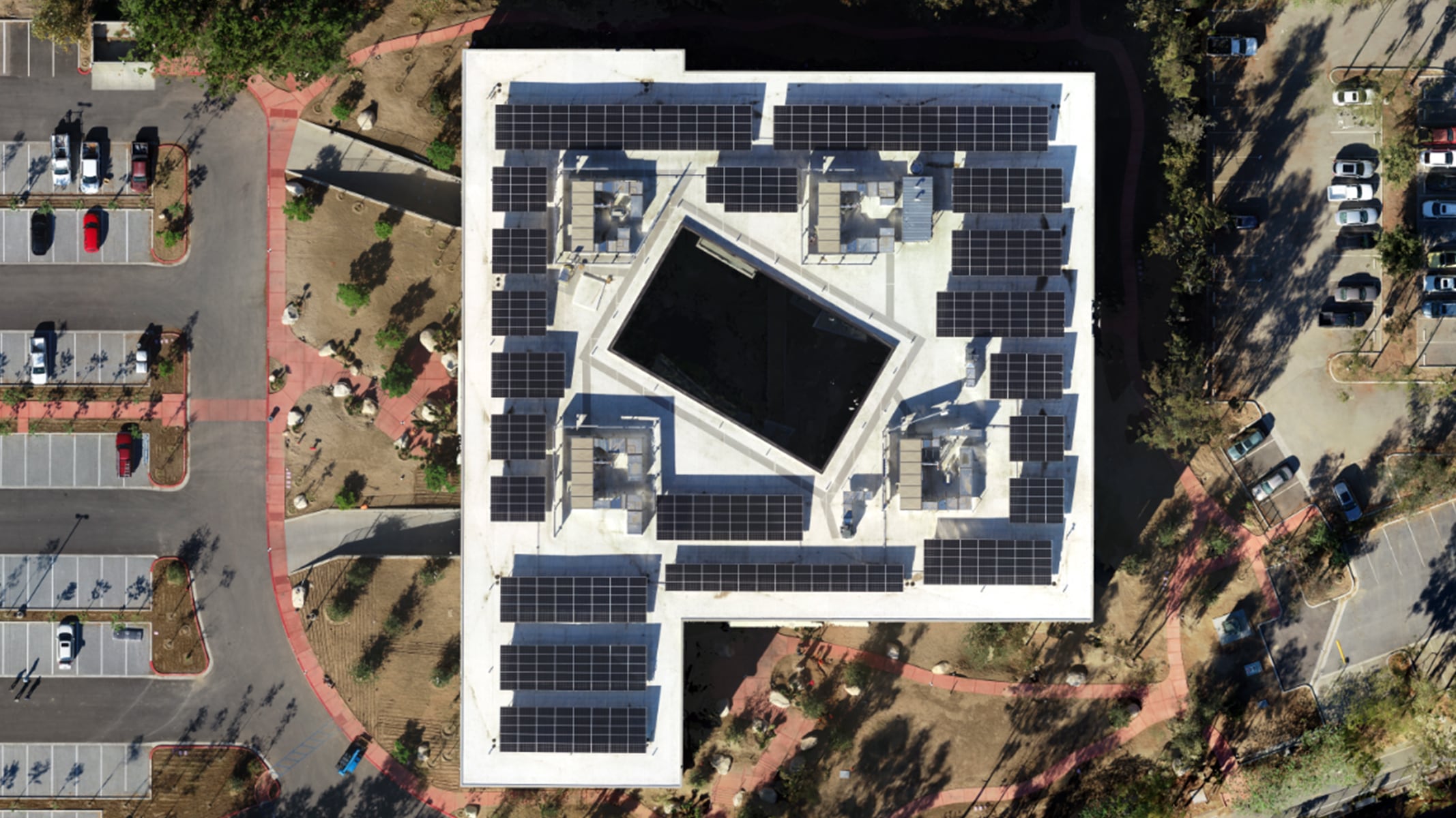
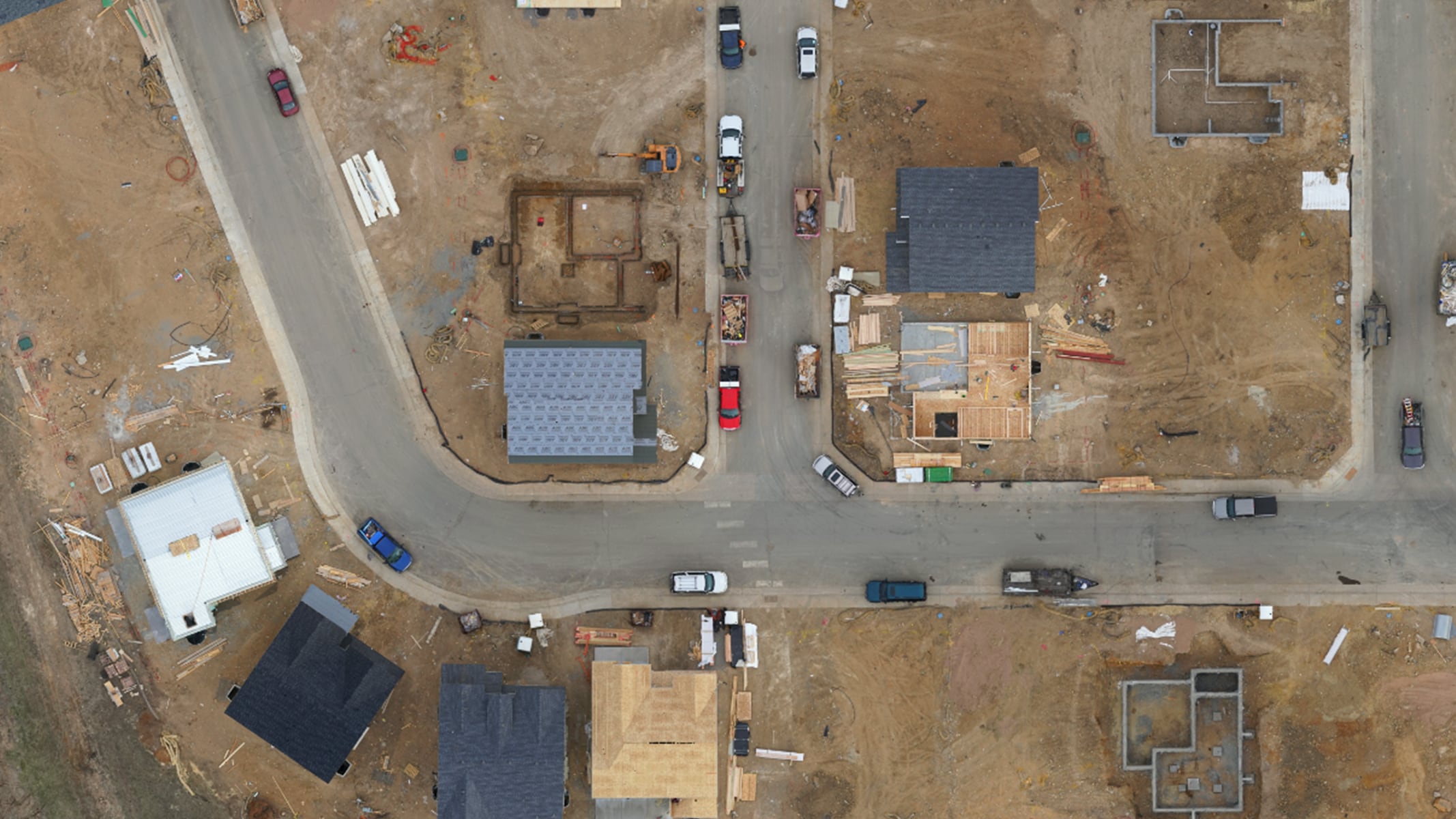
Construction progress on the Esri campus in Redlands, California. Captured with a DJI Zenmuse X4S sensor.
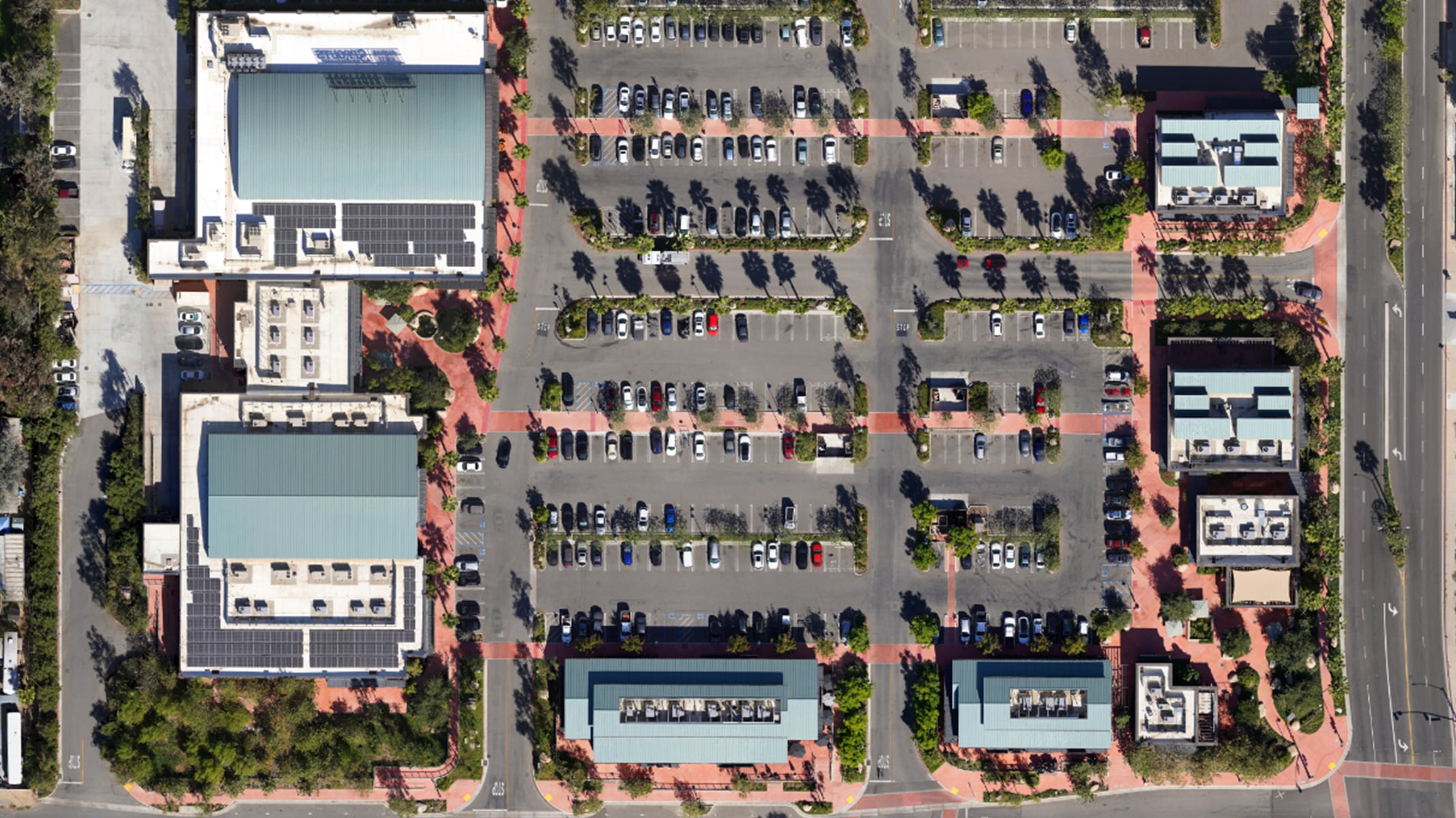
Nadir flight over the redeveloped Packing House District in Redlands, California. Captured with a Sony ILCE-7RM4 sensor.
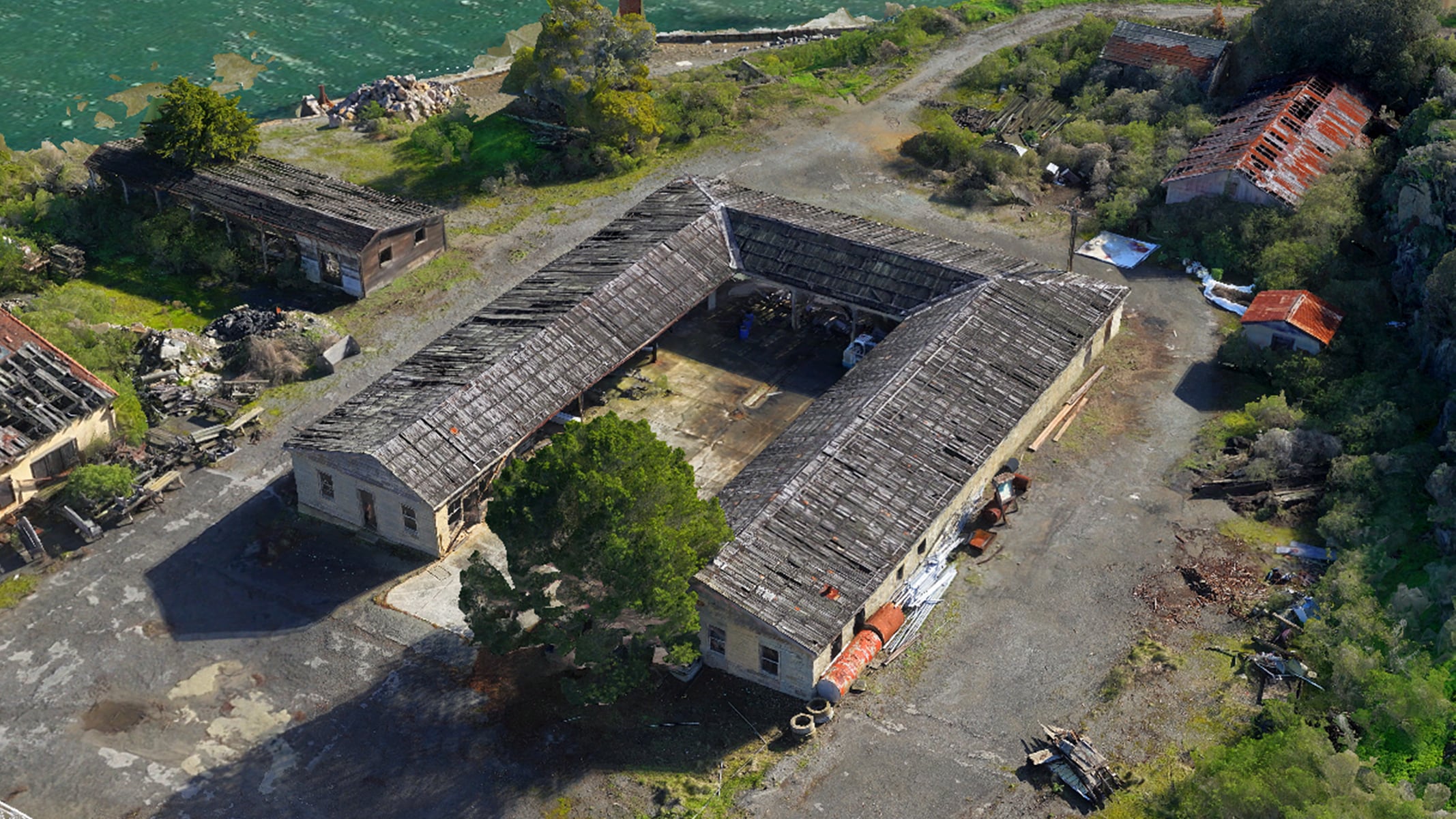
Crosshatch flight of Fort McDowell in Angel Island State Park in Tiburon, California. Captured with a Sony ILCE-7RM4A sensor.
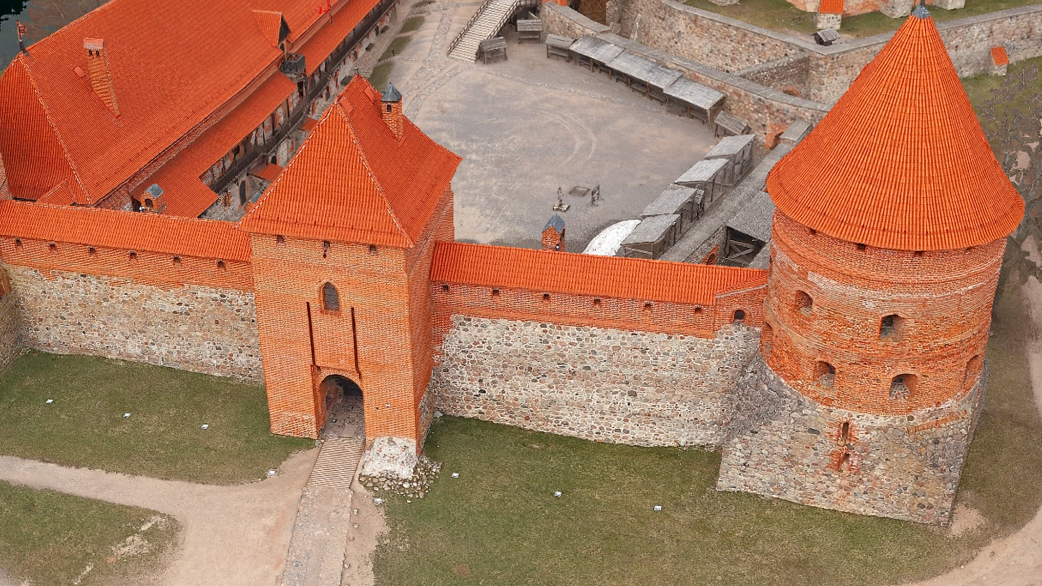
Crosshatch flight over historic 14th-century Trakai Island Castle in Trakai, Lithuania. Captured with a DJI Zenmuse P1 sensor.
Inspection flight of residential neighborhood affected by the Marshall Fire in Superior, Colorado. Captured with a Sony ILCE-7RM4A sensor.